Start Point

Seefeld Railway Station

End Point

Seefeld Railway Station

Difficulty

Easy

Total Distance

4,70 km

Descent Meters

48 m

Ascent Meters

48 m

Highest Point

1208 m

Total Time

01:30 h

Map & Elevation Profile

Start Point

Seefeld Railway Station

End Point

Seefeld Railway Station

Difficulty

Easy

Total Distance

4,70 km

Descent Meters

48 m

Ascent Meters

48 m

Highest Point

1208 m

Total Time

01:30 h

Hiking

Best Time

Jan

Feb

Mar

Apr

May

Jun

Jul

Aug

Sep

Oct

Nov

Dec

Hiking tour

Thematic route

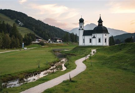
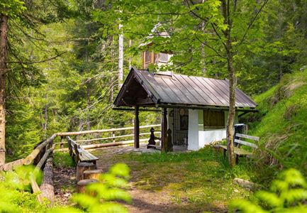
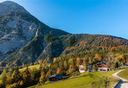
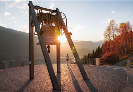
This circular walk takes you to Seefeld’s top highlights – from the peaceful Wildsee and the stunning views at Pfarrhügel (parish hill) to the iconic Seekirchl and the lively pedestrian zone.

The roughly one-hour walk begins at the Seefeld Information Office, right by the train station. From there, you’ll stroll through the pedestrian zone to St. Oswald’s Parish Church – it’s well worth stepping inside this late Gothic gem! Passing the church on the left, the path climbs up to Pfarrhügel, following the Seefeld Kreuzweg with its 14 stations. Once at the top, take in the wonderful view over Seefeld’s rooftops, stretching as far as Germany.

At the summit, the Apostle Circle awaits. Built in 2000, its massive boulders – weighing up to 23 tons – are arranged to depict the Last Supper in a special star alignment. Writer Winfried Werner Linde envisioned this spot as a peaceful gathering place for people of all world religions. On-site info boards provide fascinating details about this unique place.

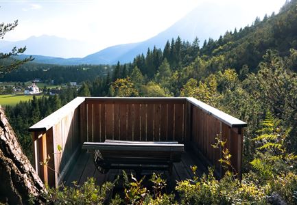
From Pfarrhügel, you’ll enjoy breathtaking views of Seefelder

Features & Characteristics

Start Point

Seefeld Railway Station

End Point

Seefeld Railway Station

Family-friendly

Yes

Loop tour

Yes

Similar Tour Suggestions

Seekirchl bei Morgenstimmung im Frühling - Drohnenaufnahme mit Sonnensternreflektion.jpg

Hiking

Wheelchair Circular Hike Seekirchl–Ski Jump

Length

3,15 km

Duration

01:10 h

Altitude

1200 hm

Difficulty

Easy

Scharnitz - Wanderung Dorfrunde - Scharnitz im Überblick.jpg

Hiking

Hike from Seefeld to Scharnitz

Length

9,60 km

Duration

02:45 h

Uphill

35 hm

Downhill

301 hm

Altitude

1252 hm

Difficulty

Easy

Höhenweg Leutasch_Aussichtsplattform Höhenweg_Pfarrkirche St. Magdalena und Ganghofermuseum.jpg

Hiking

Wheelchair Circular Hike Runst-Achweg

Length

6,30 km

Duration

02:00 h

Uphill

40 hm

Altitude

1130 hm

Difficulty

Easy

Partially open
Leutascher Ache im Herbst - Drohnenaufnahme mit Weg neben dem Fluss.jpg

Hiking

Wheelchair Circular Hike Kirchplatzl-Achweg

Length

1,80 km

Duration

00:30 h

Uphill

10 hm

Altitude

1130 hm

Difficulty

Easy

Spaziergang mit Hund in Unterleutasch - Mann läuft mit Hund entlang von Bäumen Aufnahme Richtung Sonne.jpg

Hiking

Tour of lawn "toler"

Length

4,20 km

Duration

00:45 h

Uphill

13 hm

Altitude

1072 hm

Difficulty

Easy

Scharnitz - Wanderung Dorfrunde - Weg durch den Wald mit blühenden Bäumen.jpg

Hiking

Wheelchair Hike Scharnitz–Gießenbach

Length

7,00 km

Duration

01:50 h

Uphill

40 hm

Altitude

1010 hm

Difficulty

Easy

Wanderung zur Scharnitzer Alm - Scharnitzer Alm mit Tannenzweigen im Vordergrund.jpg

Hiking

Circular hiking trail Scharnitzer alpine hut

Length

5,70 km

Duration

01:30 h

Uphill

130 hm

Altitude

1022 hm

Difficulty

Easy

Drohnenfoto von Neuleutasch mit Blick Richtung Leutasch.jpg

Hiking

Hike from Leutasch to Seefeld

Length

4,60 km

Duration

01:30 h

Uphill

118 hm

Downhill

83 hm

Altitude

1225 hm

Difficulty

Easy