Start Point

Mösern information office

End Point

Leutasch Wettersteinhütte

Difficulty

Medium

Total Distance

14,0 km

Descent Meters

718 m

Highest Point

1719 m

Total Time

06:00 h

Status

Closed

Start Point

Mösern information office

End Point

Leutasch Wettersteinhütte

Difficulty

Medium

Total Distance

14,0 km

Descent Meters

718 m

Highest Point

1719 m

Total Time

06:00 h

Status

Closed

Hiking

Best Time

Closed

Jan

Feb

Mar

Apr

May

Jun

Jul

Aug

Sep

Oct

Nov

Dec

Winter walking

SECTION 3

FROM MÖSERN TO THE COUNTRY INN ROPFERSTUB'M AND TO THE WETTERSTEIN HUT

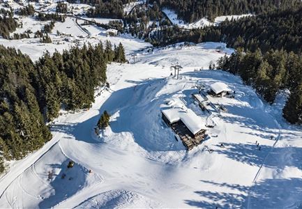
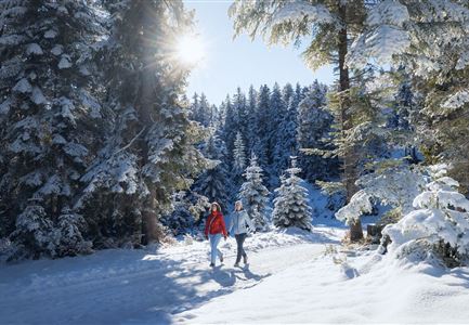
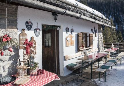
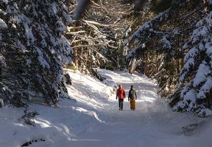
The third day's section starts at the Mösern information office and leads along panoramic trails no. 2 and no. 27 to the Rofperstub'm (open from 10:30 a.m.), with its impressive view. Here you can enjoy numerous regional specialties - the in-house blueberry pancake is particularly delicious (ideal for a lunch break). The adjacent mountain farm museum also tells interesting facts about life in the mountains.

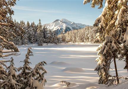
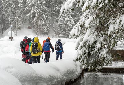
From the Ropferstub'm, hiking trail no. 24 continues over the Katzenloch, an old "forced pass" of lynxes, wildcats, wolves and bears that had to migrate here from the Inn Valley across the Alps through the snow-covered winter landscape.

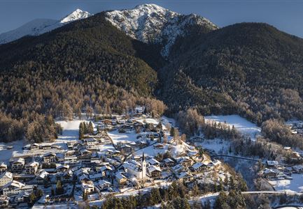
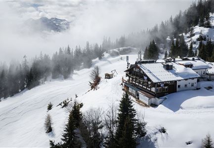
The hike continues through to Moos and Obern. Enjoy a traditional lunch in the Tiroler Stub'n. The hike continues to Klamm to the entrance to Gaistal. At the information board, turn right and follow the signs for about 1.5 kilometers to the Wettersteinhütte (trail no. 9). On the last meters the demand increases noticeably, but the view of the "Grand Dame" of Tyrol, the Hohe Munde, rewards the ascent with every step.

Arriving at the Wettersteinhütte, it is recommended to pause for a moment in front of the

Read More...

Features & Characteristics

Start Point

Mösern information office

End Point

Leutasch Wettersteinhütte

Map & Elevation Profile

Similar Tour Suggestions

Hiking

W15: Winter circular hike through the Katzenloch

Length

7,1 km

Duration

02:30 h

Uphill

142 hm

Altitude

1280 hm

Difficulty

Easy

Open

Hiking

W28: Winter circular hike Mösern-Wildmoosalm-Lottenseehütte alpine hut

Length

11,0 km

Duration

03:15 h

Uphill

161 hm

Altitude

1420 hm

Difficulty

Easy

Open

Hiking

W30: Winter hiking "Path of Peace"

Length

4,6 km

Duration

01:30 h

Uphill

97 hm

Downhill

101 hm

Altitude

1287 hm

Difficulty

Easy

Open

Hiking

Long distance hiking in the snow - extension up the mountain Katzenkopf

Length

2,6 km

Duration

01:15 h

Uphill

245 hm

Altitude

1357 hm

Difficulty

Medium

Closed

Hiking

W33: Winter circular hike Hölltal

Length

5,0 km

Duration

02:15 h

Uphill

193 hm

Altitude

1303 hm

Difficulty

Medium

Open

Hiking

Route S6: Isarsteig - Nederweg

Length

2,5 km

Duration

01:15 h

Uphill

106 hm

Altitude

1013 hm

Difficulty

Medium

Sledding

Rodelhügel Seefeld

Length

118 m

Downhill

10 hm

Difficulty

Easy

Closed

Hiking

Long distance hiking in the snow section 1

Length

14,0 km

Duration

03:30 h

Uphill

145 hm

Altitude

1159 hm

Difficulty

Medium

Closed