Start Point

Parking Gaistal Salzbach (P5)

End Point

Parking Gaistal Salzbach (P5)

Difficulty

Easy

Total Distance

8,2 km

Descent Meters

150 m

Highest Point

1404 m

Total Time

02:45 h

Status

Closed

Start Point

Parking Gaistal Salzbach (P5)

End Point

Parking Gaistal Salzbach (P5)

Difficulty

Easy

Total Distance

8,2 km

Descent Meters

150 m

Highest Point

1404 m

Total Time

02:45 h

Status

Closed

Hiking

Best Time

Closed

Jan

Feb

Mar

Apr

May

Jun

Jul

Aug

Sep

Oct

Nov

Dec

Winter walking

Family hike

+1

Route: Salzbach parking lot (P3-5) in the Gaistal - Gaistalalm - Salzbach parking lot (P3-5) in the Gaistal

Parking and public transport:

P3-5 "Salzbach parking lot.

The fastest public connection to the starting point can be found directly in our route planner.

You can find all connections in real time with the Mobility-App "wegfinder".

Directions:

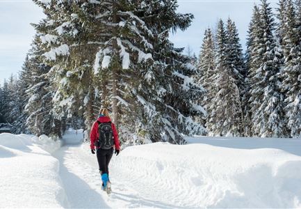
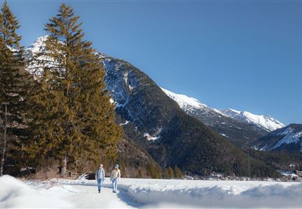
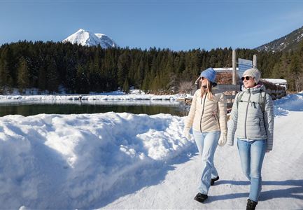
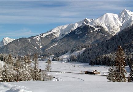
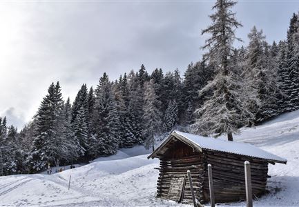
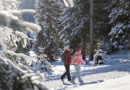
The winter hike to the Gaistalalm starts directly from the paid hiking parking lot Salzbach (P3-5) in the Gaistal. Here you follow the signs along a wide hiking trail to the Gaistalalm at 1,366 meters above sea level.

The family-friendly traditional hut has a long history here and is still used as an active alpine pasture in the summer months. In the winter months the landscape in the Gaistal valley transforms into a sparkling mountain panorama, making the alpine pasture a unique experience for all senses with tasty hut food and seasonal specialties. On the sun terrace you can relax afterwards and lose yourself in the winter mountain view. If you haven't had enough of winter hiking on the way back, you can also make a detour to the Hämmermoosalm (1,417m).

Alpine emergency call:

Call: 140

Features & Characteristics

Start Point

Parking Gaistal Salzbach (P5)

End Point

Parking Gaistal Salzbach (P5)

Family hike

Yes

Hike suitable for prams

Yes

Map & Elevation Profile

Similar Tour Suggestions

Hiking

W28: Winter circular hike Mösern-Wildmoosalm-Lottenseehütte alpine hut

Length

11,0 km

Duration

03:15 h

Uphill

161 hm

Altitude

1420 hm

Difficulty

Easy

Open

Hiking

W29: Winter circular hike through the Möserer Valley

Length

3,1 km

Duration

01:00 h

Uphill

11 hm

Altitude

1196 hm

Difficulty

Easy

Open

Hiking

W5: Winter circuite around the Wildsee lake

Length

3,1 km

Duration

00:45 h

Altitude

1183 hm

Difficulty

Easy

Open

Hiking

W27: Winter circular hike Möserer See

Length

3,5 km

Duration

01:15 h

Uphill

97 hm

Altitude

1297 hm

Difficulty

Easy

Open

Hiking

W14: Winter hike to the Wettersteinhütte

Length

8,3 km

Duration

04:15 h

Uphill

510 hm

Altitude

1717 hm

Difficulty

Medium

Closed

Hiking

W8: Winter hike to the Seewaldalm

Length

6,2 km

Duration

02:00 h

Uphill

51 hm

Altitude

1234 hm

Difficulty

Easy

Open

Hiking

W15: Winter circular hike through the Katzenloch

Length

7,1 km

Duration

02:30 h

Uphill

142 hm

Altitude

1280 hm

Difficulty

Easy

Open

Sledding

Toboggan run Hoher Sattel

Length

2,7 km

Duration

01:30 h

Downhill

350 hm

Difficulty

Hard

Closed