Start Point

Nature Park Information Center Scharnitz (P2)

End Point

Nature Park Information Center Scharnitz (P2)

Difficulty

Easy

Total Distance

6,70 km

Descent Meters

40 m

Ascent Meters

41 m

Highest Point

1009 m

Total Time

01:50 h

Status

Open

Map & Elevation Profile

Start Point

Nature Park Information Center Scharnitz (P2)

End Point

Nature Park Information Center Scharnitz (P2)

Difficulty

Easy

Total Distance

6,70 km

Descent Meters

40 m

Ascent Meters

41 m

Highest Point

1009 m

Total Time

01:50 h

Status

Open

Hiking

Best Time

Open

Jan

Feb

Mar

Apr

May

Jun

Jul

Aug

Sep

Oct

Nov

Dec

Winter walking

Family-friendly

This is a cleared winter hiking trail. However, icy or slippery spots may still occur.

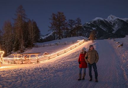
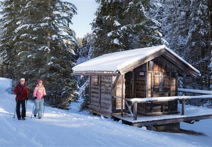
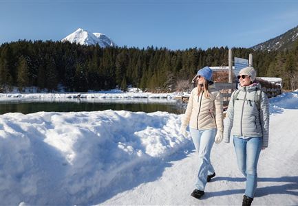
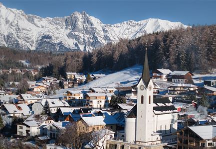
This picturesque winter hike through the Scharnitz nature takes you along a relaxed path by the idyllic Gießenbach stream. Starting at the Scharnitz Nature Park Info Center, it's the perfect opportunity to enjoy the winter landscape at a leisurely pace and catch stunning views.

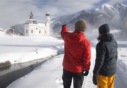
The cozy, short winter hiking loop begins at the Nature Park Info Center Scharnitz and initially heads north on the Hinterautalstraße to the Maria Hilf parish church. After crossing the main road, continue on the other side along the Hirlanda-Ellmann trail through the village. At the next fork, the path first turns right, then left, leading you directly to Gießenbach. Here, the trail meanders alongside the rushing stream, bordered by snow-covered banks, creating a magical backdrop.

Once you reach Gießenbach, it's a great spot for a short break. Right by the trail, as you enter the village, you'll find the Gasthof Ramona—ideal for a quick snack or a warming hot drink. You can return via the same route or alternatively take the train from Gießenbach train station back to Scharnitz.

Highlights and viewpoints: 
• Nature paradise Gießenbach 

Features & Characteristics

Similar Tour Suggestions

Oberer Wiesenweg im Frühwinter_Paar läuft auf Wanderweg_Blick auf Stadl und Hohe Munde.jpg

Hiking

W17: Winter circular hike on the Wiesenweg

Length

6,20 km

Duration

01:45 h

Uphill

61 hm

Altitude

1193 hm

Difficulty

Easy

Open
Winterwandern Paar Friedensglocke Drohnen Nahaufnahme Paar steht am Geländer Blick ins Inntal (1).jpg

Hiking

W30: Winter hiking "Path of Peace"

Length

4,60 km

Duration

01:30 h

Uphill

92 hm

Downhill

96 hm

Altitude

1292 hm

Difficulty

Easy

Open
Leutasch - Winterwanderweg 15 Katzenloch-3.jpg

Hiking

Stage 2: From Seefeld to Scharnitz - Seefeld High Plateau Winter Multi-day Hike

Length

12,37 km

Duration

03:30 h

Uphill

59 hm

Downhill

278 hm

Altitude

1182 hm

Difficulty

Easy

Open
Winterwandern im Schnee (2) (2).jpg

Hiking

Stage 4: From Weidach through Fludertal and over Wildmoos to Seefeld - Seefeld High Plateau Winter Multi-day Hike

Length

7,85 km

Duration

02:30 h

Uphill

230 hm

Downhill

177 hm

Altitude

1339 hm

Difficulty

Easy

Open
Winterwandern im Gaistal_zwei Frauen laufen von der Hämmermoosalm weg.jpg

Hiking

W11: Winter hike to the Hämmermoosalm

Length

4,00 km

Duration

02:00 h

Uphill

173 hm

Downhill

171 hm

Altitude

1410 hm

Difficulty

Easy

Open
Winterwandern Paar Möserer See Drohnenaufnahme Paar steht am Steg mit Möserer Seestube und Reither Spitze im Hintergrund (1).jpg

Hiking

Stage 5: From Seefeld to Mösern and back to Seefeld via Wildmoos - Seefeld High Plateau Winter Multi-day Hike

Length

14,49 km

Duration

04:15 h

Uphill

247 hm

Downhill

246 hm

Altitude

1345 hm

Difficulty

Easy

Open
100000 Lichter-Weg Seefeld_Paar steht auf Pfarrhügel_Reither Spitze in der Distanz.jpg

Hiking

100.000 Lights Path

Length

1,70 km

Duration

00:30 h

Uphill

30 hm

Downhill

39 hm

Altitude

1206 hm

Difficulty

Easy

Closed
Ropferstubm in Buchen bei Mösern - Ausblick

Hiking

W26: Winter Hike from Mösern to the Ropferstub'm

Length

12,20 km

Duration

04:00 h

Uphill

330 hm

Altitude

1314 hm

Difficulty

Easy

Open