Start Point
Parking at the P3 Lake Möserer See
End Point
Parking at the P3 Lake Möserer See
Difficulty
Easy
Total Distance
11,00 km
Descent Meters
221 m
Ascent Meters
222 m
Highest Point
1366 m
Total Time
03:15 h
Status
Hiking
Best Time
Jan
Feb
Mar
Apr
May
Jun
Jul
Aug
Sep
Oct
Nov
Dec
Winter walking
Hut Winter Hikes
This is a cleared winter hiking trail. However, icy or slippery spots may still occur.
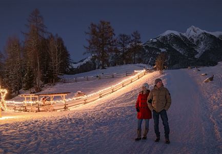
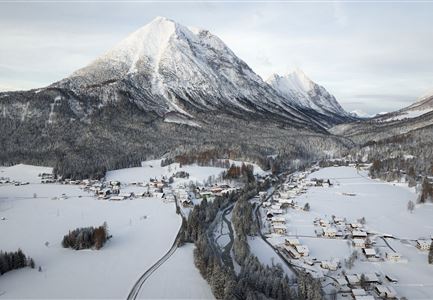
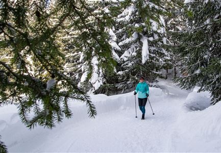
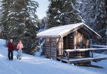
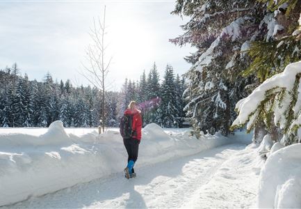
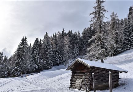
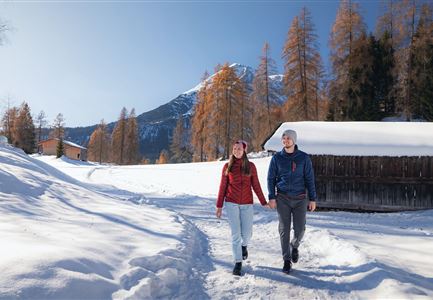
This winter hike stretches over eleven kilometers through snow-covered forests around the Brunschkopf, with no significant inclines. Along the way, it offers three cozy huts for breaks and impressive panoramic views over the Inn Valley.
The starting point of the hike is at parking lot P3. The tour begins with a relaxing loop around the snow-covered Möserer See and leads to the sun terrace of the Möserer Seestub’n, a perfect spot for a first break. Here, with a romantic view of the lake, you can enjoy a seasonal hot drink and traditional delicacies. Afterward, the path takes you back to the crossroads and continues on trail No. 60 towards Wildmoosalm.
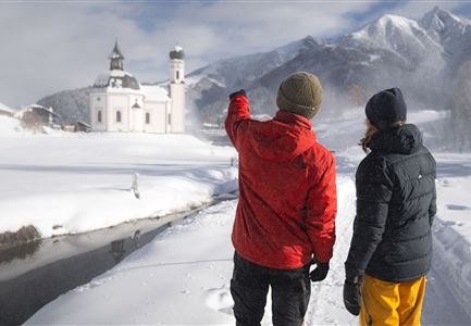
After a right turn, the trail winds gently through the Lehenwald forest above the snow-covered Möserer Mähder, offering beautiful views of Seefeld and the Gschwandtkopf. Shortly before reaching Wildmoosalm, the hiking trail briefly joins the winter road, where special attention should be paid to carriages and buses.
Once at Wildmoosalm, you can
Features & Characteristics
Start Point
Parking at the P3 Lake Möserer See
End Point
Parking at the P3 Lake Möserer See
Loop tour
Yes
Family-friendly
Yes
Stroller-friendly
Yes
