Start Point

Village Square Seefeld

End Point

Village Square Seefeld

Difficulty

Easy

Total Distance

4,70 km

Descent Meters

22 m

Ascent Meters

22 m

Highest Point

1181 m

Total Time

01:15 h

Status

Open

Map & Elevation Profile

Start Point

Village Square Seefeld

End Point

Village Square Seefeld

Difficulty

Easy

Total Distance

4,70 km

Descent Meters

22 m

Ascent Meters

22 m

Highest Point

1181 m

Total Time

01:15 h

Status

Open

Hiking

Best Time

Open

Jan

Feb

Mar

Apr

May

Jun

Jul

Aug

Sep

Oct

Nov

Dec

Winter walking

Family-friendly

This is a cleared winter hiking trail. However, icy or slippery spots may still occur.

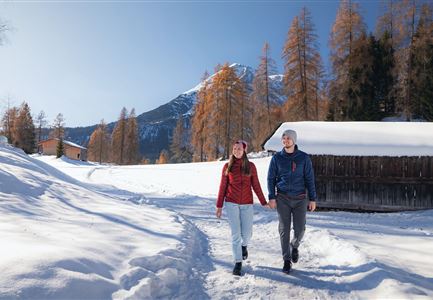
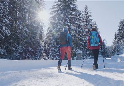
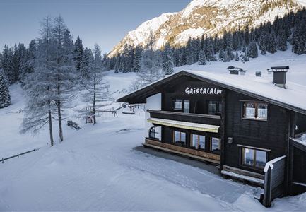
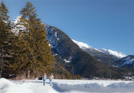
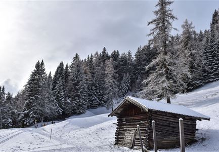
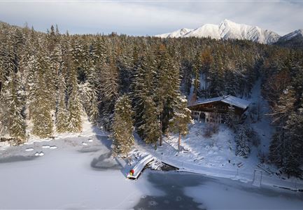
Picturesque winter landscapes, snow-covered lakeside paths, and some of the region’s most beautiful highlights – this relaxed loop through Seefeld is a must for leisurely hikers.

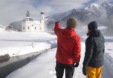
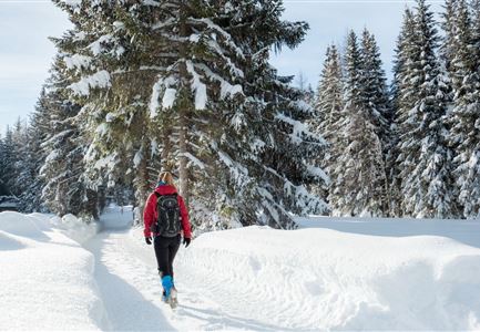
Over nearly 3 kilometers, you'll walk from the historic village square along the scenic lakeside promenade, through wintery forests, and finally to the famous Seekirchl. It’s worth pausing occasionally to take in the winter beauty of Tyrol's high plateau.

The starting point is right at the Parish Church of St. Oswald in Seefeld’s center. From here, the path leads through the charming village streets, past beautiful decorative mural painting, to the lakeside promenade. Along the lakeshore, you’ll walk through snowy banks, where squirrels are often spotted even in winter. After a short forest section, the path circles back toward the center. During the winter months, Seefeld’s Christmas market on the village square offers delights like Kiachl (a traditional fried pastry), mulled wine, and other treats to enjoy. Refreshed, you can continue up the scenic Parish Hill to Seefeld’s iconic landmark, the Seekirchl. Especially in

Features & Characteristics

Start Point

Village Square Seefeld

End Point

Village Square Seefeld

Family-friendly

Yes

Stroller-friendly

Yes

Loop tour

Yes

Similar Tour Suggestions

Eisfischen am Weidachsee - Leutasch-31.jpg

Hiking

W9: Winter circular hike around Weidachsee lake

Length

3,80 km

Duration

01:00 h

Uphill

46 hm

Altitude

1156 hm

Difficulty

Easy

Open
Winterwandern in der Region Seefeld_Mann und Frau laufen wandern im Wildmoos_Aufnahme von hinten mit verschneiten Ästen im Vordergrund (1).jpg

Hiking

W28: Winter Circular Hike Mösern-Wildmoosalm-Lottenseehütte

Length

11,00 km

Duration

03:15 h

Uphill

221 hm

Downhill

222 hm

Altitude

1366 hm

Difficulty

Easy

Open
Winterwandern Paar Seefeld Möserer Tal Paar läuft vor Seekirchel (2).jpg

Hiking

W29: Winter circular hike through the Möserer Valley

Length

3,10 km

Duration

01:00 h

Uphill

10 hm

Altitude

1197 hm

Difficulty

Easy

Open
Ropferstubm in Buchen bei Mösern - Ausblick

Hiking

W26: Winter Hike from Mösern to the Ropferstub'm

Length

12,20 km

Duration

04:00 h

Uphill

330 hm

Altitude

1314 hm

Difficulty

Easy

Open
Winterwandern in der Region Seefeld_Drohnenaufnahme_Mann und Frau laufen entlang des Ufers des Wildsees (1).jpg

Hiking

W7: Winter circular hike Reith - Seefeld - Reith

Length

8,70 km

Duration

02:30 h

Uphill

118 hm

Downhill

121 hm

Altitude

1200 hm

Difficulty

Easy

Open
Leutasch - Winterwanderweg 15 Katzenloch-3.jpg

Hiking

Stage 2: From Seefeld to Scharnitz - Seefeld High Plateau Winter Multi-day Hike

Length

12,37 km

Duration

03:30 h

Uphill

59 hm

Downhill

278 hm

Altitude

1182 hm

Difficulty

Easy

Open
Winterwandern im Gaistal_zwei Frauen laufen von der Hämmermoosalm weg.jpg

Hiking

W11: Winter hike to the Hämmermoosalm

Length

4,00 km

Duration

02:00 h

Uphill

173 hm

Downhill

171 hm

Altitude

1410 hm

Difficulty

Easy

Open
Oberer Wiesenweg im Frühwinter_Paar läuft auf Wanderweg_Blick auf Stadl und Hohe Munde.jpg

Hiking

W17: Winter circular hike on the Wiesenweg

Length

6,20 km

Duration

01:45 h

Uphill

61 hm

Altitude

1193 hm

Difficulty

Easy

Open