Start Point

Parking P5 'Salzbach' in the Gaistal

End Point

Parking P5 'Salzbach' in the Gaistal

Difficulty

Easy

Total Distance

4,00 km

Descent Meters

173 m

Ascent Meters

171 m

Highest Point

1410 m

Total Time

02:00 h

Status

Open

Map & Elevation Profile

Start Point

Parking P5 'Salzbach' in the Gaistal

End Point

Parking P5 'Salzbach' in the Gaistal

Difficulty

Easy

Total Distance

4,00 km

Descent Meters

173 m

Ascent Meters

171 m

Highest Point

1410 m

Total Time

02:00 h

Status

Open

Hiking

Best Time

Open

Jan

Feb

Mar

Apr

May

Jun

Jul

Aug

Sep

Oct

Nov

Dec

Winter walking

Family-friendly

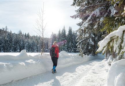
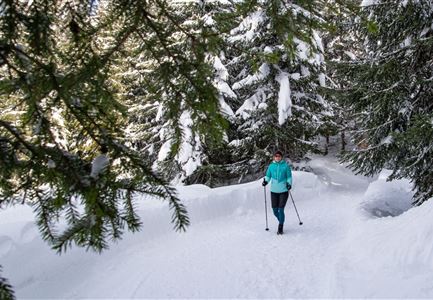
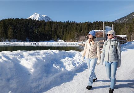
This is a cleared winter hiking trail. However, icy or slippery spots may still occur.

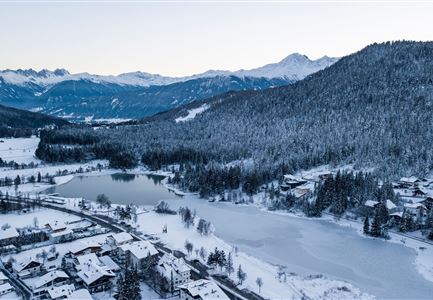
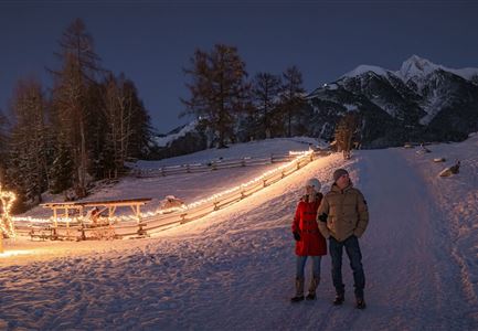
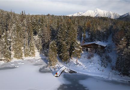
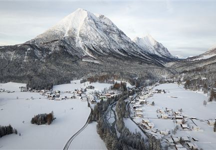
This short, family-friendly winter hike starts either at the info hut at the entrance of the Gaistal valley and follows the Leutascher Ache upstream to the trail sign for Hämmermoosalm, or alternatively, from the last (with fees) hiking parking lot at Salzbach (P3-5) directly to the hut ascent. On the way down, the route can also be taken via the Hämmermoosalm toboggan run – so if you like, you can bring a sled along.

The relaxed ascent follows a wide hiking trail up to the cozy Hämmermoosalm at 1,417 meters. There, the traditional kitchen treats you to regional delicacies and seasonal specialties, while aromatic homemade schnapps can warm the heart if desired. Afterwards, you can sled or hike back down. Alternatively, you can continue to Gaistalalm (1,366 m) before heading back to the valley.

Features & Characteristics

Stamina

Technique

Start Point

Parking P5 'Salzbach' in the Gaistal

End Point

Parking P5 'Salzbach' in the Gaistal

Family-friendly

Yes
Similar Tour Suggestions

Winterwandern Paar Seefeld Möserer Tal Mann zeigt auf Seekirchel.jpg

Hiking

Stage 1: From Seefeld via Reith to Leithen - Seefeld High Plateau Winter Multi-day Hike

Length

16,70 km

Duration

05:00 h

Uphill

266 hm

Downhill

267 hm

Difficulty

Easy

Open
Winterwandern Paar Möserer See Drohnenaufnahme Paar steht am Steg mit Möserer Seestube und Reither Spitze im Hintergrund (1).jpg

Hiking

Stage 5: From Seefeld to Mösern and back to Seefeld via Wildmoos - Seefeld High Plateau Winter Multi-day Hike

Length

14,49 km

Duration

04:15 h

Uphill

247 hm

Downhill

246 hm

Altitude

1345 hm

Difficulty

Easy

Open
Ropferstubm in Buchen bei Mösern - Ausblick

Hiking

W26: Winter Hike from Mösern to the Ropferstub'm

Length

12,20 km

Duration

04:00 h

Uphill

330 hm

Altitude

1314 hm

Difficulty

Easy

Open
Weidachsee im Winter

Hiking

W9: Winter circular hike around Weidachsee lake

Length

3,80 km

Duration

01:00 h

Uphill

46 hm

Altitude

1156 hm

Difficulty

Easy

Open
Gaistalalm im Winter - Drohnennahaufnahme von der Seite mit Wettersteingebirge (2).jpg

Hiking

W12: Winter hike to the Gaistalalm

Length

8,20 km

Duration

02:30 h

Uphill

182 hm

Altitude

1366 hm

Difficulty

Easy

Open
Triendlsäge im Winter - Gebäude mit Pferdekutsche.jpg

Hiking

W4: Winter Circular Hike Seefeld - Triendlsäge

Length

7,50 km

Duration

02:15 h

Uphill

147 hm

Altitude

1198 hm

Difficulty

Easy

Open
Winterwandern Paar Möserer See Paar steht auf Steg Seitenperspektive.jpg

Hiking

W27: Winter circular hike Möserer See

Length

3,50 km

Duration

01:15 h

Uphill

96 hm

Downhill

100 hm

Altitude

1297 hm

Difficulty

Easy

Open
Winterwandern Paar Friedensglocke Drohnen Nahaufnahme Paar steht am Geländer Blick ins Inntal (1).jpg

Hiking

W30: Winter hiking "Path of Peace"

Length

4,60 km

Duration

01:30 h

Uphill

92 hm

Downhill

96 hm

Altitude

1292 hm

Difficulty

Easy

Open