Start Point

Mösern

End Point

Ortszentrum Mösern

Difficulty

Medium

Total Distance

1,00 km

Descent Meters

23 m

Highest Point

1248 m

Status

Closed

Map & Elevation Profile

Start Point

Mösern

End Point

Ortszentrum Mösern

Difficulty

Medium

Total Distance

1,00 km

Descent Meters

23 m

Highest Point

1248 m

Status

Closed

Cross-country Skiing

Best Time

Closed

Jan

Feb

Mar

Apr

May

Jun

Jul

Aug

Sep

Oct

Nov

Dec

Ski-nordic-classic

Ski-nordic-skating

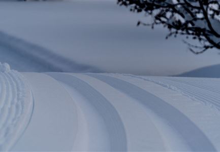
This trail is freshly groomed every day. However, icy and slippery sections may still occur.

Trail Access:

Via the B1 Mösern Trail or at the Gföll Chapel in Mösern.

Trail Characteristics:
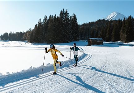
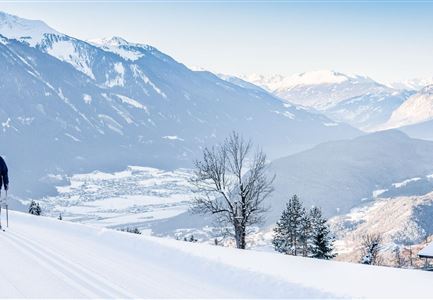
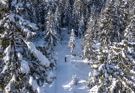
The B12 Mösern Village Center Trail is suitable for both classic and skating cross-country skiing and is rated as moderately difficult. It runs through snowy forests and meadows, offering impressive views over the Inn Valley. The trail can be skied in both directions, so particular attention should be paid to oncoming skiers. Entry points are available either via the B1 Trail or in the village center of Mösern, opposite the information office.

Connecting Trails:
B1 Mösern
An overview of the entire trail network (including current trail status) and useful cross-country skiing information (ticket machines, waxing and service stations, changing facilities, etc.) can be found in the trail report.

Features & Characteristics

Stamina

Technique

Start Point

Mösern

End Point

Ortszentrum Mösern

Skating

Yes

Klassisch

Yes
Similar Tour Suggestions

B13 Loipe - Moeserer See-Richtung Lottensee

Cross-country Skiing

B13 - Lottensee-Möserer See

Length

2,90 km

Uphill

97 hm

Altitude

1325 hm

Difficulty

Medium

Closed
LL B10 Moeserer See - Seefeld.jpg

Cross-country Skiing

B10 - Möserer See

Length

2,50 km

Uphill

96 hm

Altitude

1323 hm

Difficulty

Medium

Closed
Loipe B11 Waldloipe Drohne

Cross-country Skiing

B11 – Waldloipe

Length

2,70 km

Uphill

51 hm

Altitude

1183 hm

Difficulty

Medium

Closed
B1-Loipe-Moesern

Cross-country Skiing

B1 - Mösern

Length

5,50 km

Uphill

110 hm

Altitude

1228 hm

Difficulty

Medium

Closed
Klassische Langlauf Spur

Cross-country Skiing

B6 - Interalpen Connection East

Length

500 m

Uphill

13 hm

Altitude

1342 hm

Difficulty

Medium

Closed
Leutasch Katzenkopf

Cross-country Skiing

B15 – High-altitude Trail Leutasch-Wildmoos

Length

7,50 km

Uphill

150 hm

Altitude

1390 hm

Difficulty

Medium

Closed
B7 Klassisch.jpg

Cross-country Skiing

B9 - Triendlsäge

Length

3,00 km

Altitude

1163 hm

Difficulty

Medium

Closed
B4 Loipeneinstieg Skatingzentrum Leutasch

Cross-country Skiing

B4 - Skatingzentrum

Length

1,20 km

Uphill

39 hm

Altitude

1205 hm

Difficulty

Medium

Closed