Start Point
Naturpark Info Center Scharnitz (P2)
End Point
Naturpark Info Center Scharnitz (P2)
Difficulty
Medium
Total Distance
8,90 km
Descent Meters
240 m
Ascent Meters
240 m
Highest Point
1140 m
Total Time
03:00 h
Hiking
Best Time
Jan
Feb
Mar
Apr
May
Jun
Jul
Aug
Sep
Oct
Nov
Dec
Circular hike
Hiking tour
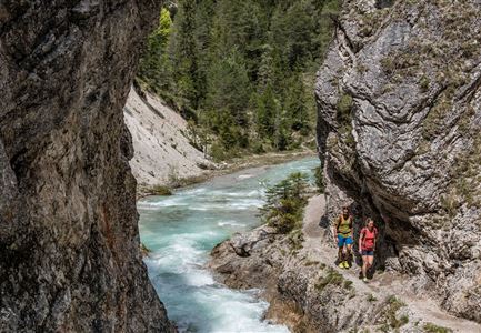
The hike takes you through the breathtaking Karwendel Gorge and offers stunning views of the untouched nature.
Starting at the Nature Park Information Center in Scharnitz, hikers can look forward to an adventurous tour of about three hours. The journey begins with a one-kilometer walk along Hinterautalstraße to the gravel works. Here, you turn left and follow a small path that winds up the slope in many switchbacks. The climb is challenging, but the view of the Karwendel Gorge makes the effort worthwhile.
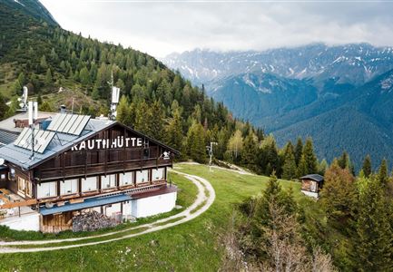
The trail eventually leads to a forest road, where you turn right towards the Karwendelhaus. If you want a little variety, you can take a short detour to the chapel Birzelkapelle on the left. Otherwise, stay on the forest road until you reach the right turn for the Karwendelsteg. This path leads further to the forest road that branches off towards Scharnitz.
For the final two kilometers, you can either take the road back to Scharnitz or, after the gravel works, turn left to cross the Isar Bridge. From there, continue right on the Isar Trail back to the starting point of
Features & Characteristics
Start Point
Naturpark Info Center Scharnitz (P2)
End Point
Naturpark Info Center Scharnitz (P2)
Loop tour
Yes
