Start Point

Parking P5 'Salzbach' in the Gaistal

End Point

Parking P5 'Salzbach' in the Gaistal

Difficulty

Easy

Total Distance

8,20 km

Descent Meters

182 m

Ascent Meters

182 m

Highest Point

1366 m

Total Time

02:30 h

Status

Open

Map & Elevation Profile

Start Point

Parking P5 'Salzbach' in the Gaistal

End Point

Parking P5 'Salzbach' in the Gaistal

Difficulty

Easy

Total Distance

8,20 km

Descent Meters

182 m

Ascent Meters

182 m

Highest Point

1366 m

Total Time

02:30 h

Status

Open

Hiking

Best Time

Open

Jan

Feb

Mar

Apr

May

Jun

Jul

Aug

Sep

Oct

Nov

Dec

Winter walking

Hut Winter Hikes

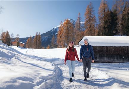
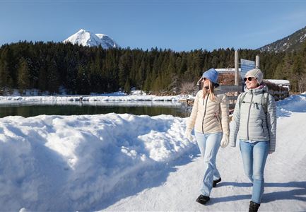
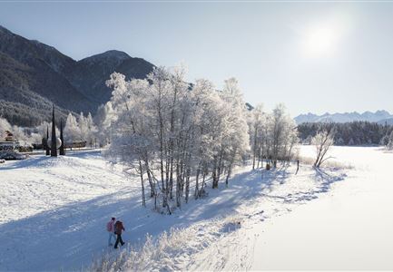
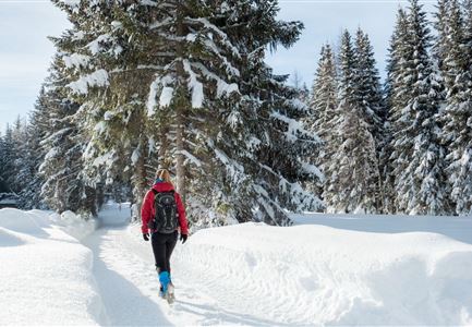
This is a cleared winter hiking trail. However, icy or slippery spots may still occur.

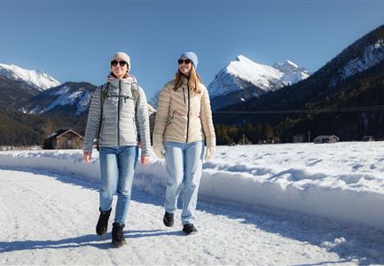
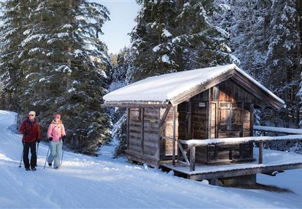
The winter hike to Gaistalalm starts at the paid hiking parking lot Salzbach (P3-5) in the Gaistal Valley. The well-signposted, wide trail leads directly to the alpine hut at an altitude of 1,366 meters.

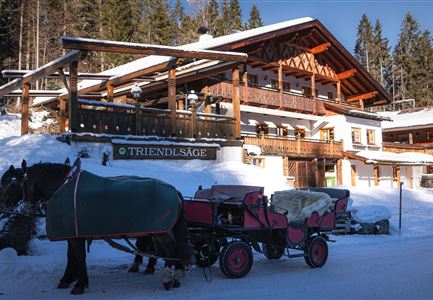
Gaistalalm, a family-friendly traditional hut with a long history, operates as an active alpine farm in the summer. In winter, the surrounding landscape transforms into a sparkling mountain panorama, creating a unique experience for all the senses, complemented by hearty alpine cuisine and seasonal specialties.

On the sunny terrace, you can relax and enjoy the impressive views of the winter mountain landscape. On the way back, you can also take a rewarding detour to the nearby Hämmermoosalm (1,417 m).

Features & Characteristics

Stamina

Technique

Start Point

Parking P5 'Salzbach' in the Gaistal

End Point

Parking P5 'Salzbach' in the Gaistal

Family-friendly

Yes

Stroller-friendly

Yes
Similar Tour Suggestions

Winterwandern in Scharnitz_zwei Frauen laufen am Weg_Karwendel in der Distanz.jpg

Hiking

W22: Winter Hike from Scharnitz to Gießenbach

Length

7,80 km

Duration

02:00 h

Uphill

40 hm

Altitude

1010 hm

Difficulty

Easy

Open
Zwei Frauen am Winterwandern in Scharnitz.jpg

Hiking

W6: Winter Hike from Seefeld to Scharnitz

Length

8,30 km

Duration

05:00 h

Downhill

211 hm

Altitude

1178 hm

Difficulty

Easy

Open
Winterwandern im Schnee (2) (2).jpg

Hiking

Stage 4: From Weidach through Fludertal and over Wildmoos to Seefeld - Seefeld High Plateau Winter Multi-day Hike

Length

7,85 km

Duration

02:30 h

Uphill

230 hm

Downhill

177 hm

Altitude

1339 hm

Difficulty

Easy

Open
Leutasch - Winterwanderweg 15 Katzenloch-4.jpg

Hiking

W15: Winter circular hike through the Katzenloch

Length

7,10 km

Duration

02:30 h

Uphill

142 hm

Altitude

1280 hm

Difficulty

Easy

Open
Winterwandern Paar Seefeld Möserer Tal Mann zeigt auf Seekirchel.jpg

Hiking

Stage 1: From Seefeld via Reith to Leithen - Seefeld High Plateau Winter Multi-day Hike

Length

16,70 km

Duration

05:00 h

Uphill

266 hm

Downhill

267 hm

Difficulty

Easy

Open
100000 Lichter-Weg Seefeld_Paar steht auf Pfarrhügel_Reither Spitze in der Distanz.jpg

Hiking

100.000 Lights Path

Length

1,70 km

Duration

00:30 h

Uphill

30 hm

Downhill

39 hm

Altitude

1206 hm

Difficulty

Easy

Closed
Eisfischen am Weidachsee - Leutasch-31.jpg

Hiking

W9: Winter circular hike around Weidachsee lake

Length

3,80 km

Duration

01:00 h

Uphill

46 hm

Altitude

1156 hm

Difficulty

Easy

Open
Hofladenrunde im Winter_zwei Frauen bei Thoamlhof laufen zum Hofladen.jpg

Hiking

Winter Circular Hike Leutasch Farm Shop

Length

11,10 km

Duration

03:10 h

Uphill

111 hm

Downhill

108 hm

Altitude

1194 hm

Difficulty

Easy

Open