We use cookies for your personalized browsing experience, to personalize content and ads, to provide social media features, and to analyze traffic to our website. We also share information about your use of our website with our social media, advertising and analytics partners. Our partners may combine this information with other data that you have provided to them or that they have collected as part of your use of the Services. (incl. US providers)

Start Point

Leutasch parking Stupfer (P2)

End Point

Leutasch parking Stupfer (P2)

Difficulty

Medium

Total Distance

24,20 km

Descent Meters

1261 m

Ascent Meters

1261 m

Highest Point

2132 m

Total Time

09:45 h

Map & Elevation Profile

Start Point

Leutasch parking Stupfer (P2)

End Point

Leutasch parking Stupfer (P2)

Difficulty

Medium

Total Distance

24,20 km

Descent Meters

1261 m

Ascent Meters

1261 m

Highest Point

2132 m

Total Time

09:45 h

Hiking

Best Time

Jan

Feb

Mar

Apr

May

Jun

Jul

Aug

Sep

Oct

Nov

Dec

Hiking tour

Hut hikes

+2

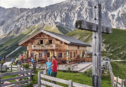
Route: Leutasch / car park Stupfer (P2) – Alpine Hut Wettersteinhütte – Alpine Hut Wangalm – Alpine Hut Rotmoosalm – Alpine Hut Steinernes Hüttl – Alpine Hut Tillfußalm – Alpine Hut Gaistalalm - Path Ganghoferweg - Alpine Hut Hämmermoosalm -  car park Stupfer (P2)

Parking facility:

P2 "Stupfer parking lot

Directions:

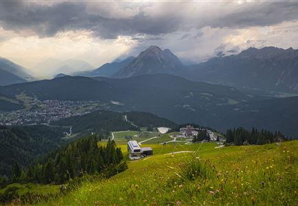
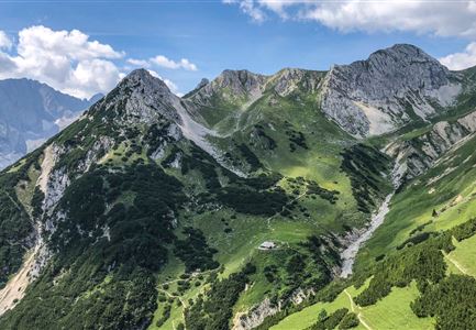
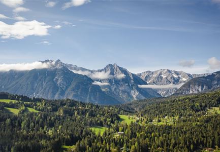
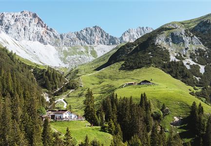
This extensive and varied hike through the alpine paradise of Gaistal can also be done in sections, depending on your mood. The versatile Hochalmrunde starts directly from the P2 hiking parking lot (Stupfer) in the Leutascher Gaistal. Here you will also find the large wooden signpost for the ascent in the direction of Wettersteinhütte and Wangalm. At the beginning, you have to master a sporty steep section over beautiful forest paths before you reach the wide gravel forest road. Follow the yellow hiking signs until just below the rustic Wettersteinhütte (1,717m). Here you have the choice: left over a spectacular climb directly to the hut, or right over a somewhat more moderate climb. Both variants require good footing and calf strength, until you can enjoy a first delicious stop at the hut with a picturesque view over the Wetterstein mountains.

Only a little further lies the

Read More...

Similar Tour Suggestions

Porta Claudia Ruine - Scharnitz

Hiking

Circular hiking trail Porta Claudia

Length

2,50 km

Duration

01:00 h

Uphill

125 hm

Downhill

120 hm

Altitude

1085 hm

Difficulty

Easy

Grosse Arnspitze Blick ins Karwendel - Scharnitz

Hiking

Hike to the Große Arnspitze Summit, 2,196 m

Length

9,00 km

Duration

07:30 h

Uphill

1214 hm

Altitude

2196 hm

Difficulty

Hard

Kuschlhitte im Sommer - Leutasch

Hiking

Circular hike Wettersteinhütte alpine hut - Wangalm alpine hut - Hämmermoosalm alpine hut

Length

10,20 km

Duration

04:15 h

Uphill

562 hm

Altitude

1756 hm

Difficulty

Medium

Partially open
Rosenkranzweg in Reith

Hiking

On the rosary walking trail to the Frau Häusl chapel

Length

1,20 km

Duration

01:15 h

Uphill

100 hm

Altitude

1220 hm

Difficulty

Easy

Wandern zum Gasthof Brücke

Hiking

Tour of lawn "toler"

Length

4,20 km

Duration

00:45 h

Uphill

13 hm

Altitude

1072 hm

Difficulty

Easy

Wanderer im Aufstieg auf die Gehrenspitze - Leutasch.jpg

Hiking

Hike to the Gehrenspitze, 2,367 m

Length

22,80 km

Duration

10:00 h

Uphill

1319 hm

Altitude

2367 hm

Difficulty

Medium

Brunnsteinhütte

Hiking

Hike to the Brunnsteinspitze Summit, 2,180 m

Length

12,70 km

Duration

08:30 h

Uphill

1454 hm

Altitude

2180 hm

Difficulty

Hard

Closed
Seekirchl in Seefeld

Hiking

Circular walking path from Seefeld to the lake Möserer See

Length

8,80 km

Duration

02:30 h

Uphill

231 hm

Altitude

1297 hm

Difficulty

Easy