Start Point
Naturpark Info Center Scharnitz (P2)
End Point
Naturpark Info Center Scharnitz (P2)
Difficulty
Medium
Total Distance
28,20 km
Descent Meters
323 m
Ascent Meters
323 m
Highest Point
1227 m
Total Time
06:00 h
Hiking
Best Time
Jan
Feb
Mar
Apr
May
Jun
Jul
Aug
Sep
Oct
Nov
Dec
Hiking tour
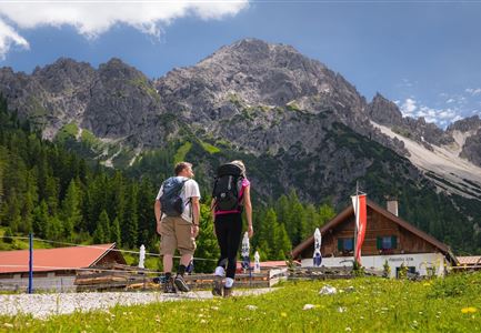
Hut hike
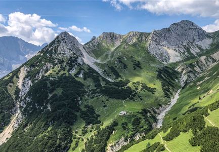
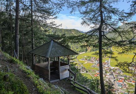
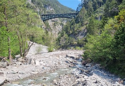
The hike begins at the Nature Park Information Center in Scharnitz, located right by parking lot P2. From here, the trail follows the Hinterautalstraße straight into the Hinterautal valley. After about 2.5 kilometers, the paved road transitions into a forest path that continues through the picturesque valley. The trail gradually ascends, leading to the Gleirschhöhe, a viewpoint marked with a cross that offers stunning views of the surrounding mountains.
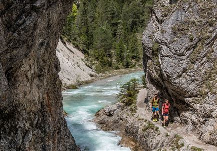
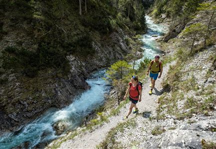
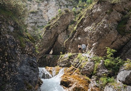
From the Gleirschhöhe, the path turns left and continues towards the Isarursprung (the source of the river Isar) and Kastenalm. A short descent brings hikers into the valley floor, where the landscape opens up, and the clear, rushing waters of the Isar accompany the trail. This section of the hike is particularly charming, as the crystal-clear river becomes a constant companion, winding through pristine nature.
The highlight of the tour is the Isar spring – an exceptionally beautiful source where water emerges directly from the ground to form the young Isar. This is a perfect spot to pause, soak in the tranquility, and appreciate the purity of this special place.
From the spring, it’s
Features & Characteristics
Start Point
Naturpark Info Center Scharnitz (P2)
End Point
Naturpark Info Center Scharnitz (P2)
