Start Point

Information Office Mösern

End Point

Information Office Mösern

Difficulty

Easy

Total Distance

9,20 km

Descent Meters

246 m

Ascent Meters

246 m

Highest Point

1316 m

Total Time

03:00 h

Map & Elevation Profile

Start Point

Information Office Mösern

End Point

Information Office Mösern

Difficulty

Easy

Total Distance

9,20 km

Descent Meters

246 m

Ascent Meters

246 m

Highest Point

1316 m

Total Time

03:00 h

Hiking

Best Time

Jan

Feb

Mar

Apr

May

Jun

Jul

Aug

Sep

Oct

Nov

Dec

Hiking tour

Hut hike

Attention: The path to the Ropferstub'n is closed due to renovation work.

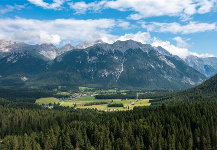
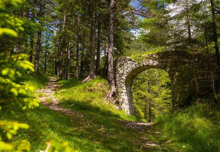
The hike begins at the Mösern Information Office, following the idyllic Broch Trail. The gentle path winds through nature until it reaches a junction. Here, a breathtaking view of the Inn Valley unfolds—an ideal moment to pause and take in the scenery. This is also where the Peace Bell stands, the largest free-standing bell in the Alpine region. As a symbol of peace among the Alpine countries, it rings daily at 5 PM, creating a special moment of reflection and contemplation.

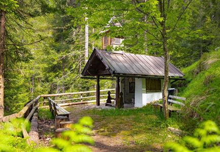
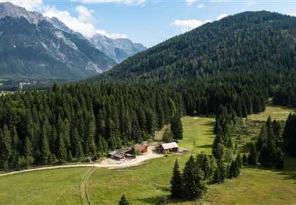
After this impressive experience, the trail continues left towards the Lottenseehütte. Shortly before reaching the hut, the path leads left past the garage building. From there, follow trail no. 27, which winds through picturesque landscapes until reaching the traditional restaurant Ropferstub’m. In summer, the Kneipp facility next to the Ropferstub’m offers a refreshing way to revitalize tired feet—an invigorating treat in the heart of nature. After a relaxing break, the return journey follows the same route back to the starting point in Mösern.

Features & Characteristics

Start Point

Information Office Mösern

End Point

Information Office Mösern

Family-friendly

Yes
Similar Tour Suggestions

Herbst am Möserer See - Frau am Ufer (Edit 2).jpg

Hiking

Circular walking path lake Möserer See & Kalvarienberg

Length

3,00 km

Duration

01:00 h

Uphill

78 hm

Downhill

82 hm

Altitude

1291 hm

Difficulty

Easy

Scharnitz - Wanderung zur Adlerkanzel - Blick auf die Isar.jpg

Hiking

Circular village walk Scharnitz - Gießenbach

Length

6,10 km

Duration

01:30 h

Uphill

42 hm

Altitude

1013 hm

Difficulty

Easy

Porta Claudia Scharnitz - Tor mit Weg.jpg

Hiking

Circular hiking trail Porta Claudia

Length

2,50 km

Duration

01:00 h

Uphill

125 hm

Downhill

120 hm

Altitude

1085 hm

Difficulty

Easy

Drohnenaufnahme Hämmermoosalm bei Sonnenuntergangsstimmung.jpg

Hiking

Hike to the Hämmermoosalm

Length

4,00 km

Duration

01:30 h

Uphill

175 hm

Altitude

1417 hm

Difficulty

Easy

Reitherjoch Alm in Seefeld

Hiking

Circular hike to the Reitherjochalm alpine hut

Length

6,60 km

Duration

02:30 h

Uphill

321 hm

Altitude

1479 hm

Difficulty

Easy

Reith Wiesenweg im Frühling - Drohnenaufnahme strahlend grüne Wiese mit Blick zum Inntal.jpg

Hiking

Circular hiking traill Wiesenweg

Length

4,60 km

Duration

01:30 h

Uphill

109 hm

Altitude

1128 hm

Difficulty

Easy

Familien-Weitwanderung im Gaistal - Familie am Zaun vor Gaistalalm.jpg

Hiking

Hike to the Gaistalalm & Tillfussalm alpine hut

Length

9,70 km

Duration

03:00 h

Uphill

229 hm

Altitude

1404 hm

Difficulty

Easy

Kulturwanderweg Reith im Sommer_Pfarrkirche Reith.jpg

Hiking

Cultural Hiking Trail Reith

Length

7,29 km

Duration

02:00 h

Uphill

140 hm

Altitude

1150 hm

Difficulty

Easy