Closed, opens on Wednesday 11:00

Address & Contact

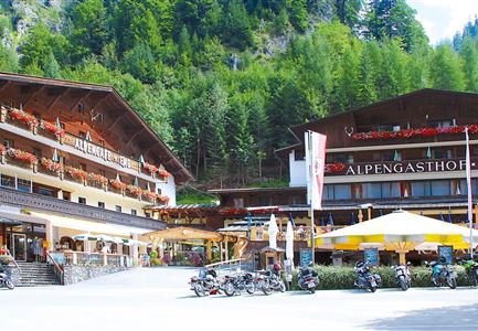
Landgasthof Ropferstub´m

Town:

Buchen 6-8, am Jakobsweg, 6100 Mösern/Buchen

Phone:

Email:

Web:

Easily accessible alpine pastures & huts

Vegetarian

Vegan

Dog-friendly

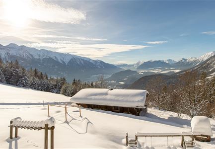
Alpine pastures & mountain huts in winter

restaurant

E-bike charging station

Opening hours: from 11:00 to 21:00
Hot Kitchen: from 11:00 to 20:30
Day off: Monday (in May, June, September, October & November, Tuesday is also a day off!)
Seating: approximately 150 indoors, approximately 100 outdoors
Miscellaneous: Sunny terrace, public ATM on the terrace, E-bike charging station, Kneipp facility, farm museum

Information Vegetarian/Vegan
Vegetarian dishes: Yes
Vegan dishes: Yes

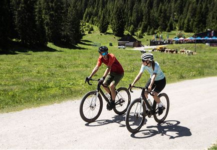
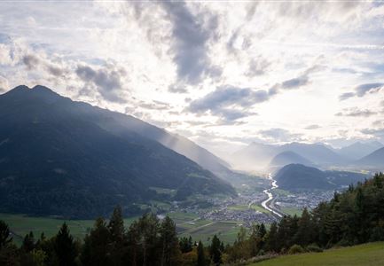
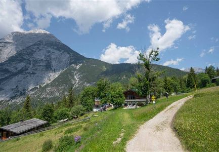
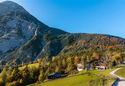
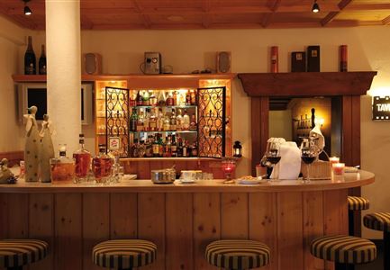
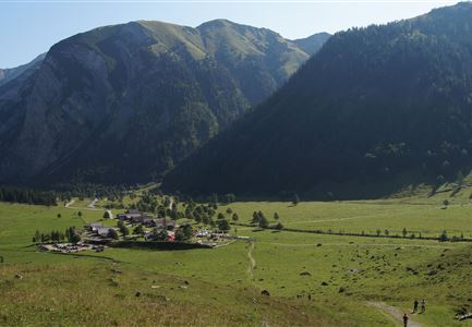
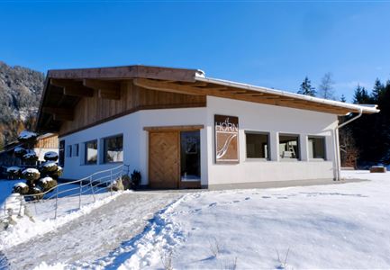
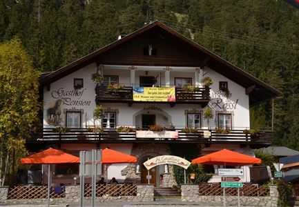
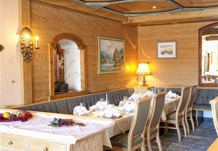
The cozy Landgasthof Roferstubm is located right at the foot of the Hohen Munde and marks the entrance to the picturesque Leutaschtal. Hungry hikers and (E-)bikers are served hearty Tyrolean cuisine and freshly tapped refreshments year-round on the spacious sunny terrace by the warm hosts. For cooling off and health benefits, there is also a Kneipp facility, and a small mountain farmer's museum provides fascinating insights into life in the Alps. The excellent cuisine is famous for its autumnal Törggelen, homemade blueberry pancakes, and freshly caught fish from the Leutasch.

Further details:

Information about dogs
Dog-friendly: Yes
Miscellaneous: Water bowl, treats

Accessibility information
Access to the restaurant without steps or with ramp: Yes
Storage space for walkers/wheelchairs: Yes
Toilets are wheelchair accessible*: No. Access is level, but toilets do not meet current standards
Outdoor seating also accessible for wheelchair users: Yes

*Criteria for toilets: with support device/handle, an accessible sink, enough space to turn around, level access without
Opening Times

Closed, opens on Wednesday 11:00
15/09/2025 - 01/11/2025
Wednesday - Sunday
11:00 - 21:00
20/12/2025 - 30/03/2026
Tuesday - Sunday
11:00 - 21:00

Connected Tours

Leutasch - Winterwanderweg 15 Katzenloch

Hiking

W15: Winterrundwanderung durch das Katzenloch

Length

7,10 km

Duration

02:30 h

Uphill

142 hm

Altitude

1280 hm

Difficulty

Easy

Open
Muggenmoosalm

Hiking

Rundwanderung von Seefeld zur Lottenseehütte & Muggenmoosalm

Length

15,30 km

Duration

04:30 h

Uphill

554 hm

Altitude

1398 hm

Difficulty

Medium

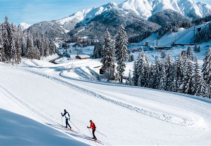
Loipe bei der Ropferstub'm mit Blick ins Inntal - Moesern-Buchen

Cross-country Skiing

B5 - Katzenloch

Length

5,00 km

Uphill

67 hm

Altitude

1260 hm

Difficulty

Medium

Closed
Drohnenaufnahme Wildmoos im Nebel - Lottensee mit Blick aufs Wettersteingebirge.jpg

Running

Wintertrail - Drei Seen Runde von Seefeld über Buchen

Length

27,80 km

Uphill

657 hm

Altitude

1392 hm

Difficulty

Medium

Drohnenaufnahme Wettersteinhütte - Nahaufnahme mit Blick ins Wettersteingebirge (1).jpg

Hiking

Etappe 3: Von Mösern auf die Wettersteinhütte – 1. Winterweitwanderweg Tirols

Length

14,00 km

Duration

06:00 h

Uphill

718 hm

Altitude

1719 hm

Difficulty

Medium

Open
Ropferstubm im Herbst - Moesern-Buchen

Hiking

Wanderung zur Ropferstub'm

Length

9,20 km

Duration

03:00 h

Uphill

246 hm

Altitude

1316 hm

Difficulty

Easy

Gravelbiker bei der Wildmoosalm im Sommer

Cycling

Biketour Nr. 547 Wildmoos-Buchen

Length

8,80 km

Duration

00:25 h

Uphill

184 hm

Downhill

183 hm

Altitude

1346 hm

Difficulty

Medium

Kaiser Maximilian Runde Seefeld

Cross-country Skiing

Adventure Run (klassisch & skating)

Length

55,00 km

Uphill

600 hm

Difficulty

Hard

Closed
Wanderung durchs Katzenloch im Frühherbst - Wanderer mit Hunde auf dem Weg bei einer Lichtung.jpg

Hiking

Wanderung durch das Katzenloch

Length

7,10 km

Duration

02:00 h

Uphill

155 hm

Downhill

154 hm

Altitude

1280 hm

Difficulty

Easy

Ropferstubm in Buchen bei Mösern - Ausblick

Hiking

W26: Winterwanderung von Mösern zur Ropferstub'm

Length

12,20 km

Duration

04:00 h

Uphill

330 hm

Altitude

1314 hm

Difficulty

Easy

Open
Wildmoos Buchen Ropferstubm

Cycling

Biketour Nr. 5067 Salzbach-Ropferstub'm

Length

16,40 km

Duration

02:00 h

Uphill

472 hm

Altitude

1312 hm

Difficulty

Medium

Sonnenuntergang über dem Inntal (Blick von der Friedensglocke - Querformat).jpg

Hiking

Jakobsweg Etappe 12: Von Buchen nach Telfs/Mötz

Length

23,70 km

Duration

06:00 h

Uphill

711 hm

Altitude

1310 hm

Difficulty

Medium

Similar Infrastructures