Start Point

Mösern Information Office

End Point

Mösern Information Office
Difficulty

Medium

Total Distance

9,10 km

Descent Meters

279 m

Ascent Meters

272 m

Highest Point

1496 m

Total Time

03:00 h

Map & Elevation Profile

Start Point

Mösern Information Office

End Point

Mösern Information Office
Difficulty

Medium

Total Distance

9,10 km

Descent Meters

279 m

Ascent Meters

272 m

Highest Point

1496 m

Total Time

03:00 h

Hiking

Best Time

Jan

Feb

Mar

Apr

May

Jun

Jul

Aug

Sep

Oct

Nov

Dec

Hiking tour

Viewing platforms

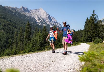
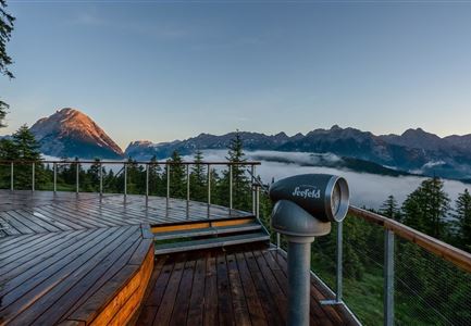
The access to the Viewing Platform at Brunschkopf can be reached from the charming mountain village of Mösern in two ways. One option is to take the wide forest road (ideal for sporty parents with an all-terrain stroller), or alternatively, a beautiful trail leads through the forest.

The starting point at the Mösern Information Office is easily accessible by the regional bus (Mösern Church stop). Drivers can find some parking spaces in the village or leave their car at the Seewaldalm car park (P1).

From the Mösern Information Office, head left and follow the Broch trail (signposted Möserer See/Brunschkopf) uphill for the entire length, then continue straight onto the marked gravel path. At the next junction, turn right towards the Möserer See car park (P3) and continue on the wide gravel path into the forest towards Möserer See. A short detour to Möserer Seestub’n rewards visitors with a sunny terrace, lake views, and a forest playground at Tyrol’s warmest swimming lake. If you continue along the forest trail, you’ll reach the circular

Videos

Similar Tour Suggestions

Ederkanzel contwise.jpg

Hiking

Circular Hike via the Franzosensteig to Grünkopf and Ederkanzel

Length

7,40 km

Duration

04:00 h

Uphill

590 hm

Altitude

1569 hm

Difficulty

Medium

Gravelbike - an der türkisblauen Isar.jpg

Hiking

Bike & Hike Halleranger house - Halleranger alm

Length

38,00 km

Duration

06:00 h

Uphill

832 hm

Altitude

1768 hm

Difficulty

Medium

Wandern am Brunschkopf

Hiking

Brunschkopf viewing platform via Wildmoosalm from Leutasch

Length

12,80 km

Duration

04:30 h

Uphill

441 hm

Downhill

438 hm

Altitude

1493 hm

Difficulty

Medium

Sonnenaufgang Aussichtsplattform Bruschkopf - Paar steht am Geländer der Plattform - Aufnahme von hinten - Paar schaut sich an.jpg

Hiking

Viewpoint Brunschkopf via Möserer Höhe

Length

8,70 km

Duration

03:00 h

Uphill

311 hm

Downhill

314 hm

Altitude

1499 hm

Difficulty

Medium

Durch die Gleirschklamm bei Scharnitz.jpg

Hiking

Circular hiking trail Gleirschklamm Gorge

Length

13,10 km

Duration

04:00 h

Uphill

416 hm

Downhill

410 hm

Altitude

1152 hm

Difficulty

Medium

Sonnenaufgang am Brunschkopf

Hiking

Circular hike to the Brunschkopf viewing platform starting in Mösern

Length

12,70 km

Duration

04:00 h

Uphill

382 hm

Altitude

1498 hm

Difficulty

Medium

Aussichtsplattform Kurblhang - Leutasch.jpg

Hiking

Circular hiking trail viewpoint Kurblhang

Length

3,50 km

Duration

01:30 h

Uphill

181 hm

Altitude

1277 hm

Difficulty

Medium

Personen bei der Rotmoosalm im Sommer - auf der Terrasse (1).jpg

Hiking

Hike to the Rotmoosalm alpine hut

Length

9,00 km

Duration

05:30 h

Uphill

842 hm

Altitude

2037 hm

Difficulty

Medium