Start Point

Mösern information office

End Point

Mösern information office

Difficulty

Easy

Total Distance

3,50 km

Descent Meters

96 m

Ascent Meters

100 m

Highest Point

1297 m

Total Time

01:15 h

Status

Open

Map & Elevation Profile

Start Point

Mösern information office

End Point

Mösern information office

Difficulty

Easy

Total Distance

3,50 km

Descent Meters

96 m

Ascent Meters

100 m

Highest Point

1297 m

Total Time

01:15 h

Status

Open

Hiking

Best Time

Open

Jan

Feb

Mar

Apr

May

Jun

Jul

Aug

Sep

Oct

Nov

Dec

Winter walking

Hut Winter Hikes

This is a cleared winter hiking trail. However, icy or slippery spots may still occur.

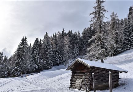
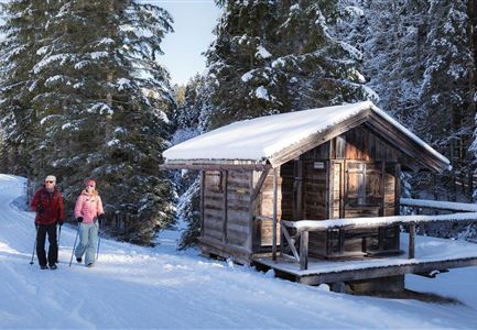
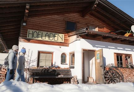
This scenic forest walk to Lake Möserer See starts directly from the Mösern Information Office on the main road. From there walk a short distance along the road downhill and at the next opportunity turn right onto the Broch-Weg. Follow this uphill for the entire length and finally, at the edge of the forest, change to the signposted footpath to the Lake Möserer See

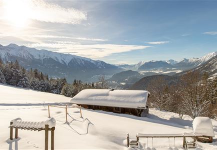
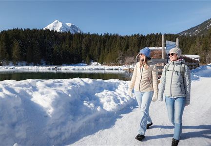
After a short uphill section, the hiking trail meets a wide gravel road and then branches off a little further to the left to the Möserer Seestub'n. Avoid the cosy sun terrace here for the time being and enjoy a wintery snow-covered lake circuit in any direction. Halfway up the mountain, the Möserer Seestubn'n is impressively set against the sparkling mountain panorama and is also happy to pose for a dreamy souvenir photo.

On the way back, you can take a well-deserved break on the sun terrace. After a welcome refreshment of coffee, cake and small delicacies, you return to the hiking trail on the gravel road and take the Broch-Weg downhill to the starting point

Features & Characteristics

Start Point

Mösern information office

End Point

Mösern information office

Loop tour

Yes

Family-friendly

Yes
Similar Tour Suggestions

drohnenaufnahme_neuschnee_27.11._leutasch_blick_richtung_hohe_munde_1.jpg

Hiking

W10: Winter hike through the Leutasch Valley

Length

26,40 km

Duration

07:00 h

Uphill

173 hm

Downhill

177 hm

Altitude

1179 hm

Difficulty

Easy

Open
Triendlsäge im Winter - Gebäude mit Pferdekutsche.jpg

Hiking

W4: Winter Circular Hike Seefeld - Triendlsäge

Length

7,50 km

Duration

02:15 h

Uphill

147 hm

Altitude

1198 hm

Difficulty

Easy

Open
Winterspatziergang mit Kindern - Katzenkopf Leutasch.jpg

Hiking

W20: Winter hike to the Katzenkopfhütte

Length

5,10 km

Duration

02:15 h

Uphill

231 hm

Altitude

1353 hm

Difficulty

Easy

Open
Ropferstubm in Buchen bei Mösern - Ausblick

Hiking

W26: Winter Hike from Mösern to the Ropferstub'm

Length

12,20 km

Duration

04:00 h

Uphill

330 hm

Altitude

1314 hm

Difficulty

Easy

Open
Luftaufnahme Wildsee im Winter - Seefeld.jpg

Hiking

W5: Winter Circular Hike Wildsee, Pfarrhügel & Seekirchl

Length

4,70 km

Duration

01:15 h

Uphill

22 hm

Altitude

1181 hm

Difficulty

Easy

Open
Gaistalalm im Winter - Drohnennahaufnahme von der Seite mit Wettersteingebirge (2).jpg

Hiking

W12: Winter hike to the Gaistalalm

Length

8,20 km

Duration

02:30 h

Uphill

182 hm

Altitude

1366 hm

Difficulty

Easy

Open
Winterwandern in der Region Seefeld_Mann und Frau laufen neben kleiner Holzhütte im Fludertal.jpg

Hiking

W19: Winter hike Wildmoosalm - Fludertal

Length

11,80 km

Duration

03:30 h

Uphill

250 hm

Altitude

1340 hm

Difficulty

Easy

Open
Leutasch - Winterwanderweg 15 Katzenloch

Hiking

W15: Winter circular hike through the Katzenloch

Length

7,10 km

Duration

02:30 h

Uphill

142 hm

Altitude

1280 hm

Difficulty

Easy

Open