Start Point

Citizen and Tourism Service Reith

End Point

Citizen and Tourism Service Reith

Difficulty

Easy

Total Distance

4,50 km

Descent Meters

116 m

Ascent Meters

117 m

Highest Point

1128 m

Total Time

01:30 h

Status

Open

Map & Elevation Profile

Start Point

Citizen and Tourism Service Reith

End Point

Citizen and Tourism Service Reith

Difficulty

Easy

Total Distance

4,50 km

Descent Meters

116 m

Ascent Meters

117 m

Highest Point

1128 m

Total Time

01:30 h

Status

Open

Hiking

Best Time

Open

Jan

Feb

Mar

Apr

May

Jun

Jul

Aug

Sep

Oct

Nov

Dec

Winter walking

Family-friendly

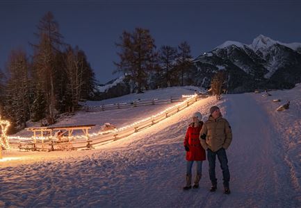
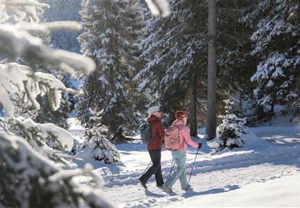
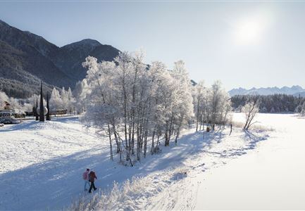
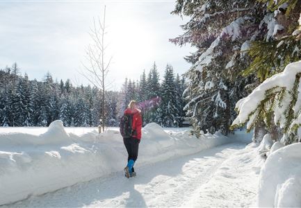
This is a cleared winter hiking trail. However, icy or slippery spots may still occur.

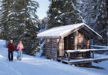
The educational culture trail between Reith and Leithen can also be walked in winter and leads along 11 different historical monuments and sites through the countryside and history along the old roman road. In summer, the cultural trail expands to a total of 14 stations.

Features & Characteristics

Start Point

Citizen and Tourism Service Reith

End Point

Citizen and Tourism Service Reith

Family-friendly

Yes

Stroller-friendly

Yes
Loop tour

Yes

Similar Tour Suggestions

Oberer Wiesenweg im Frühwinter_Paar läuft auf Wanderweg_Blick auf Stadl und Hohe Munde.jpg

Hiking

W17: Winter circular hike on the Wiesenweg

Length

6,20 km

Duration

01:45 h

Uphill

61 hm

Altitude

1193 hm

Difficulty

Easy

Open
W18 Schlagweg Rauthgatter Richtung Lottensee und Wildmoos.jpg

Hiking

W16: Winter hike from Leutasch to Seefeld

Length

6,60 km

Duration

02:15 h

Uphill

164 hm

Altitude

1225 hm

Difficulty

Easy

Open
Luftaufnahme Wildsee im Winter - Seefeld.jpg

Hiking

W5: Winter Circular Hike Wildsee, Pfarrhügel & Seekirchl

Length

4,70 km

Duration

01:15 h

Uphill

22 hm

Altitude

1181 hm

Difficulty

Easy

Open
Winterwandern im Gaistal_zwei Frauen laufen von der Hämmermoosalm weg.jpg

Hiking

W11: Winter hike to the Hämmermoosalm

Length

4,00 km

Duration

02:00 h

Uphill

173 hm

Downhill

171 hm

Altitude

1410 hm

Difficulty

Easy

Open
Winterwandern Paar Seefeld Möserer Tal Mann zeigt auf Seekirchel.jpg

Hiking

Stage 1: From Seefeld via Reith to Leithen - Seefeld High Plateau Winter Multi-day Hike

Length

16,70 km

Duration

05:00 h

Uphill

266 hm

Downhill

267 hm

Difficulty

Easy

Open
Hofladenrunde im Winter_zwei Frauen bei Thoamlhof laufen zum Hofladen.jpg

Hiking

Winter Circular Hike Leutasch Farm Shop

Length

11,10 km

Duration

03:10 h

Uphill

111 hm

Downhill

108 hm

Altitude

1194 hm

Difficulty

Easy

Open
Gaistalalm im Winter - Drohnennahaufnahme von der Seite mit Wettersteingebirge (2).jpg

Hiking

W12: Winter hike to the Gaistalalm

Length

8,20 km

Duration

02:30 h

Uphill

182 hm

Altitude

1366 hm

Difficulty

Easy

Open
100000 Lichter-Weg Seefeld_Paar steht auf Pfarrhügel_Reither Spitze in der Distanz.jpg

Hiking

100.000 Lights Path

Length

1,70 km

Duration

00:30 h

Uphill

30 hm

Downhill

39 hm

Altitude

1206 hm

Difficulty

Easy

Open