Address & Contact

Bergbahnen Rosshütte

Town:

Talstation 419, 6100 Seefeld

Phone:

Email:

Web:

Parking lot & parking garage

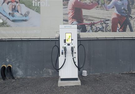
Electric charging station

Parking spaces in the open air as well as a multi-storey car park are available (for a fee).

  • Owners of a season or annual pass or a combined pass, such as the Snowcard Tirol or the leisure ticket have the option to obtain a free ticket at the parking ticket machine. The respective card is required directly at the machine.

  • For day visitors: Purchase a parking ticket at the machine, then present the lower section of the parking ticket when buying a mountain railway ticket at the valley station counter – the parking fee will then be credited.


Behind the multi-storey car park of the Rosshütte mountain railway, there are E-charging parking spaces with a total of four superchargers and two 22 kW charging stations. Access is via the federal road (B177) and the outdoor parking lot of the Rosshütte mountain railway. In summer, the E-parking spaces are pleasantly shady for almost the entire day.

The specially developed E-Mobility App by TIWAG simplifies the login and the charging process at all designated TIWAG charging stations, provides access to special charging tariffs, and is available for iOS and Android.


Connected Tours

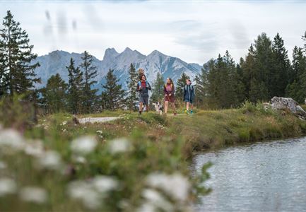
Familie beim Wandern am Kaltwassersee - Seefeld (1) Kopie.jpg

Hiking

Zirbenweg Bergstation Rosshütte

Length

662 m

Duration

00:15 h

Uphill

28 hm

Downhill

24 hm

Difficulty

Easy

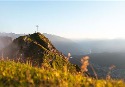
Das Gipfelkreuz der Seefelder Spitze in Sicht - Seefeld (1).jpg

Via Ferrata

Familie beim Wandern am Kaltwassersee - Seefeld (2).jpg

Hiking

Rundwanderung zum Panoramarestaurant Rosshütte und zur Hochegg Alm

Length

8,30 km

Duration

03:45 h

Uphill

515 hm

Altitude

1740 hm

Difficulty

Medium

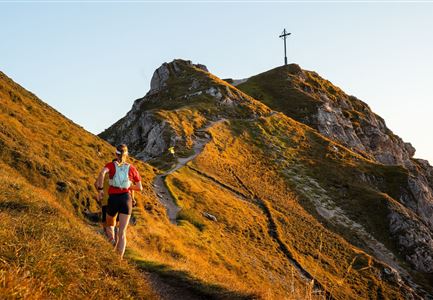
Trailrunning auf der Seefelder Spitze - - Läuferin kurz vor dem Gipfelkreuz (1).jpg

Running

Seefelder Spitze Trailrun-Runde

Length

11,70 km

Duration

06:30 h

Uphill

1000 hm

Altitude

2214 hm

Difficulty

Hard

Wanderer auf dem Weg vom Seefelder Joch zur Seefelder Spitze - Gipfelkreuz der Spitze im Blick.jpg

Hiking

Königstour - die royale Wanderung

Length

4,40 km

Duration

03:00 h

Uphill

502 hm

Downhill

464 hm

Altitude

2364 hm

Difficulty

Hard

Sonnenuntergang von der Rosshütte - Blick auf Bergbahn mit durch Wolken blitzende Sonne .jpg

Hiking

Geoweg Hermannstal

Length

9,00 km

Duration

02:00 h

Uphill

573 hm

Altitude

1750 hm

Difficulty

Medium

Wanderer auf der Seefelder Spitze ueber Seefeld

Hiking

Bike & Hike Seefelder Spitze, 2.220 m

Length

13,00 km

Duration

04:30 h

Uphill

1094 hm

Altitude

2220 hm

Difficulty

Hard

Blick auf das Wettersteingebirge mit Neuleutasch im Sommer - Luftaufnahme.jpg

Hiking

Rundwanderung von Seefeld nach Gießenbach & Leutasch

Length

21,50 km

Duration

06:30 h

Uphill

773 hm

Downhill

815 hm

Altitude

1616 hm

Difficulty

Medium

Partially open
Seefelder Spitze im Sonnenuntergang

Hiking

Wanderung zur Seefelder Spitze, 2.221 m und Seefelder Joch 2.060 m

Length

7,40 km

Duration

04:30 h

Uphill

1010 hm

Downhill

167 hm

Altitude

2221 hm

Difficulty

Medium

Nördlinger Hütte - Hütte mit Blick ins Inntal Richtung Süden (1).jpg

Hiking

Bergtour über die Eppzirler Alm und Nördlinger Hütte nach Seefeld

Length

20,40 km

Duration

10:00 h

Uphill

1464 hm

Altitude

2231 hm

Difficulty

Hard

Similar Infrastructures