We use cookies for your personalized browsing experience, to personalize content and ads, to provide social media features, and to analyze traffic to our website. We also share information about your use of our website with our social media, advertising and analytics partners. Our partners may combine this information with other data that you have provided to them or that they have collected as part of your use of the Services. (incl. US providers)

Start Point

Leutasch parking Salzbach (P5)

End Point

Wettersteinhütte or Wangalm Gaistal

Difficulty

Hard

Total Distance

8,10 km

Descent Meters

529 m

Ascent Meters

69 m

Highest Point

1753 m

Map & Elevation Profile

Start Point

Leutasch parking Salzbach (P5)

End Point

Wettersteinhütte or Wangalm Gaistal

Difficulty

Hard

Total Distance

8,10 km

Descent Meters

529 m

Ascent Meters

69 m

Highest Point

1753 m

Cycling

Best Time

Jan

Feb

Mar

Apr

May

Jun

Jul

Aug

Sep

Oct

Nov

Dec

Mountainbike tour

Loop tour

Caution: Above the tree line at the fork, about 100 metres below the Wetterstein hut and the Wangalm, you should leave the bikes and do the last section on foot. From here on the trail becomes very steep and rough. Please keep your distance from grazing cattle and cross the grazing area calmly and quickly.

Route: Parking Salzbach - Klamm - "Fiacker Stüberl" - Wettersteinhütte - Wangalm

Route description:

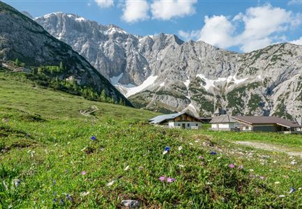
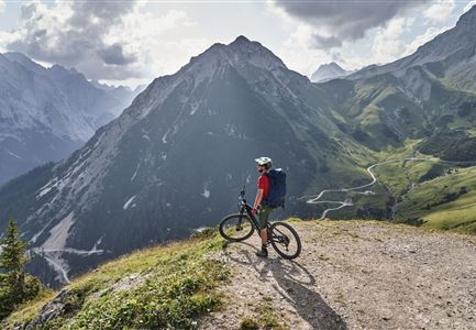
One of the most beautiful views of the entire Region Seefeld - Tirols Hochplateau: Wettersteinhütte and Wangalm

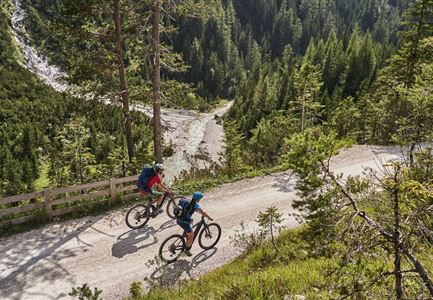
The newly worked out route starts directly at the Salzbach car park, in the very west of Leutasch. However, do not drive further into the valley but along the asphalted road back to the district Klamm. Then you turn north at the "Fiakerstüberl", follow the municipal road for the time being before you reach the forest road (gravel). From now on, the route continues uphill all the time. The beauty of the route is the dense forest with its shady trees and many nice resting places. The forest road, which was newly built only a few years ago, is very easy to ride on and meanders uphill in several hairpin bends, but also in long, almost flat sections. After

Read More...

Features & Characteristics

Start Point

Leutasch parking Salzbach (P5)

End Point

Wettersteinhütte or Wangalm Gaistal

Loop tour

Yes

Similar Tour Suggestions

Radtour

Cycling

Biketour Seefeld - Mösern - Wildmoos - Katzenkopf - Fludertal - Seefeld

Length

27,20 km

Uphill

657 hm

Downhill

651 hm

Altitude

1368 hm

Difficulty

Medium

Gaistal

Cycling

Biketour Tillfussalm alpine hut

Length

9,60 km

Uphill

174 hm

Altitude

1358 hm

Difficulty

Easy

Gravelbiker auf dem Radweg durch das Leutaschtal im Sommer

Cycling

Biketour No. 537 through the Leutasch valley

Length

16,10 km

Uphill

6 hm

Downhill

175 hm

Altitude

1205 hm

Difficulty

Easy

Hinterautal-Kastenalm,-Isar (c) Anna Rieder

Cycling

Biketour No. 578 Hinterautal-Isarursprung-Kastenalm

Length

28,00 km

Uphill

327 hm

Downhill

324 hm

Altitude

1220 hm

Difficulty

Easy

Reith

Cycling

Biketour No. 588 Reith-Eigenhofen

Length

5,70 km

Uphill

6 hm

Downhill

528 hm

Altitude

1123 hm

Difficulty

Hard

Closed
Gravelbike Bikedetail - Leutasch

Cycling

Gravelbiketour Wildmoos

Length

20,00 km

Uphill

450 hm

Altitude

1510 hm

Difficulty

Medium

Gravelbiker auf der Gleirschhoehe im Hinterautal - Naturpark Karwendel

Cycling

Biketour No. 581 Gleirschtal-Pfeishütte

Length

39,00 km

Uphill

1152 hm

Downhill

1145 hm

Altitude

1922 hm

Difficulty

Hard

Gravelbike Abfahrt Asphaltstraße - Neuleutasch

Cycling

Biketour - Adventure Ride

Length

48,50 km

Uphill

1071 hm

Altitude

1510 hm

Difficulty

Medium