We use cookies for your personalized browsing experience, to personalize content and ads, to provide social media features, and to analyze traffic to our website. We also share information about your use of our website with our social media, advertising and analytics partners. Our partners may combine this information with other data that you have provided to them or that they have collected as part of your use of the Services. (incl. US providers)

Start Point

Information office Mösern

End Point

Seefeld Gschwandtkopf

Difficulty

Hard

Total Distance

3,00 km

Descent Meters

250 m

Highest Point

1478 m

Map & Elevation Profile

Start Point

Information office Mösern

End Point

Seefeld Gschwandtkopf

Difficulty

Hard

Total Distance

3,00 km

Descent Meters

250 m

Highest Point

1478 m

Cycling

Best Time

Jan

Feb

Mar

Apr

May

Jun

Jul

Aug

Sep

Oct

Nov

Dec

Mountainbike tour

Route: Information office Mösern - Dorfkrug - Gschwandtkopf - Sonnenalm

Route description:

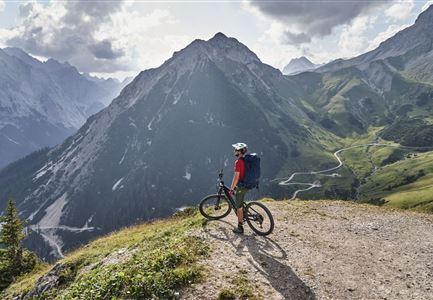
A challenging tour with worthwhile views for the fit!

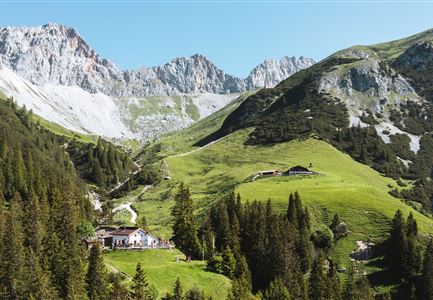
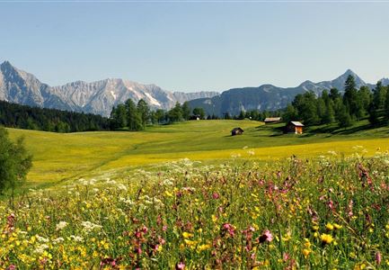
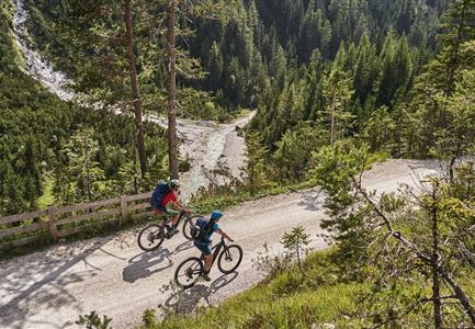
The tour starts at the information office in Mösern. Turn left and follow the main road past the Restaurant Dorfkrug. After about 300m there is a small chapel on the right side, after this turn right onto the forest road. This forest road leads steeply up to Gschwandtkopf mountain, Sonnenalm (refreshment stops). Already above the lifts Seewald-Lifte one is rewarded with a wonderful view of the Hohe Munde and the Inn valley.

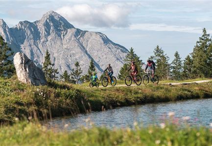
Tip: A small detour to the newly built reservoir just below the mountain station, the surrounding mountain panorama is magnificent from there. Return on the same way, please take special care when going downhill in steep sections.

Attention pasture cattle, please keep distance and cross the pasture area calmly and quickly.

Alpine emergency call:

Call: 140

Features & Characteristics

Similar Tour Suggestions

Gravelbiker auf dem Radweg zwischen Mittenwald und Scharnitz im Sommer

Cycling

Biketour Scharnitz - Mittenwald (Bavaria) - Scharnitz

Length

15,10 km

Uphill

48 hm

Downhill

52 hm

Altitude

963 hm

Difficulty

Easy

Ebiken

Cycling

Biketour No. 588 Reith-Eigenhofen

Length

5,70 km

Uphill

6 hm

Downhill

528 hm

Altitude

1123 hm

Difficulty

Hard

Closed
Wildmoos Buchen Ropferstubm

Cycling

Biketour No. 5067 Salzbach-Ropferstub'm

Length

8,30 km

Uphill

230 hm

Altitude

1307 hm

Difficulty

Medium

Gravelbike Asphaltstraße mit Bergpanorama - Leutasch

Cycling

Bike-tour Wettersteinrunde

Length

77,80 km

Uphill

1754 hm

Altitude

1599 hm

Difficulty

Hard

Erfrischende Rast an den Isarquellen

Cycling

Biketour No. 578 Hinterautal-Isarursprung-Kastenalm

Length

28,30 km

Uphill

327 hm

Downhill

324 hm

Altitude

1220 hm

Difficulty

Easy

Verbindung-Seefeld-Reith Pfarrhügel (c) Anna Rieder

Cycling

Bike-connection No. 5030 Seefeld-Reith

Length

10,20 km

Uphill

120 hm

Downhill

115 hm

Altitude

1193 hm

Difficulty

Easy

Reitherjoch-Alm (c) Anna Rieder

Cycling

Biketour No. 5032 Reitherjoch Alm

Length

12,60 km

Uphill

385 hm

Altitude

1505 hm

Difficulty

Medium

Gravelbiker bei der Wildmoosalm im Sommer

Cycling

Biketour No. 547 Wildmoos-Buchen

Length

4,80 km

Uphill

90 hm

Downhill

106 hm

Altitude

1343 hm

Difficulty

Medium