Start Point

Gießenbach (connection bike path Seefeld-Scharnitz)

End Point

Gießenbach (connection bike path Seefeld-Scharnitz)
Difficulty

Medium

Total Distance

13,30 km

Descent Meters

447 m

Ascent Meters

447 m

Highest Point

1457 m

Total Time

02:30 h

Status

Partially open

Map & Elevation Profile

Start Point

Gießenbach (connection bike path Seefeld-Scharnitz)

End Point

Gießenbach (connection bike path Seefeld-Scharnitz)
Difficulty

Medium

Total Distance

13,30 km

Descent Meters

447 m

Ascent Meters

447 m

Highest Point

1457 m

Total Time

02:30 h

Status

Partially open

Cycling

Best Time

Partially open

Jan

Feb

Mar

Apr

May

Jun

Jul

Aug

Sep

Oct

Nov

Dec

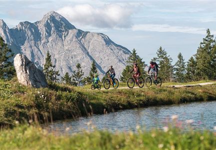
Mountainbike tour

Regarding Gießenbach Railway Crossing: Due to construction work, the railway crossing in Gießenbach will be closed from July 12 to August 5, 2025. Access to the Eppzirler Alm is also affected. Although limited passage is planned during the construction period, full closures may occur temporarily.

On the following days, passage will not be possible:

Tuesday, July 22 · Saturday, July 26 · Monday, August 4, 202

I
mportant Information for Mountain Bikers:

In the event of a complete closure, mountain bikers must detour via the Bodenalm. There, the railway line can be crossed through an underpass. The Hirnweg then continues past the construction site and leads directly to Gießenbach, providing access to the entrance of the Eppzirltal.

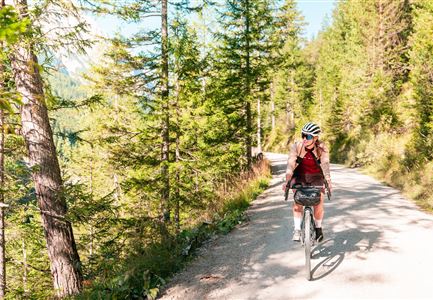
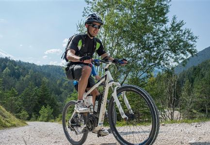
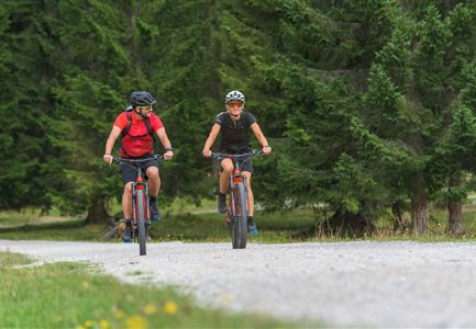
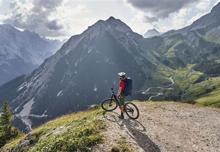
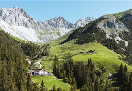
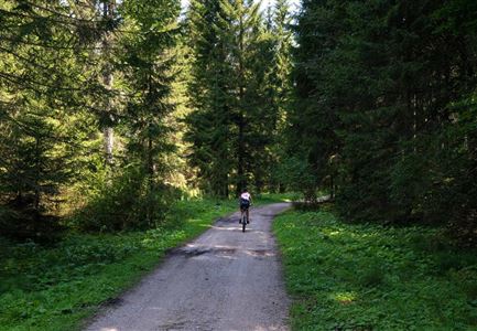
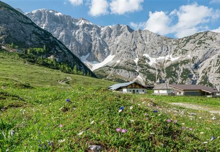
This bike tour takes you through the idyllic Gießenbach valley to the Eppzirler Alm. Experience the idyllic Karwendel mountains and then enjoy home-made food at the mountain hut.

To get to the start of the tour by bike, follow the connection 5051 Seefeld-Scharnitz from Seefeld or Scharnitz to the junction of the connecting cycle path in Gießenbach.From here, the bike path leads upstream through the idyllic Giessenbach valley. Surrounded by steep rock faces, the wide forest road climbs quite steeply at first, but soon flattens

Features & Characteristics

Stamina

Technique

Start Point

Gießenbach (connection bike path Seefeld-Scharnitz)

End Point

Gießenbach (connection bike path Seefeld-Scharnitz)
Videos

Similar Tour Suggestions

Triendlweg-Bauernwald Gasthaus Triendlsäge (c) Anna Rieder

Cycling

Biketour No. 535 Triendlweg-Bauernwald

Length

8,60 km

Duration

01:10 h

Uphill

217 hm

Altitude

1220 hm

Difficulty

Medium

Gravelbiker bei der Wildmoosalm im Sommer

Cycling

Biketour No. 547 Wildmoos-Buchen

Length

8,80 km

Duration

00:25 h

Uphill

184 hm

Downhill

183 hm

Altitude

1346 hm

Difficulty

Medium

Radfahrerin beim Sonnenaufgang im Gaistal - 02.jpg

Cycling

Gravelbiketour Gaistal

Length

18,10 km

Duration

01:45 h

Uphill

353 hm

Downhill

194 hm

Altitude

1363 hm

Difficulty

Medium

Leutascher Ache im Sommer - Drohnenaufnahme Kurve im Fluss (1).jpg

Cycling

Biketour - Adventure Ride

Length

48,50 km

Duration

05:00 h

Uphill

1071 hm

Altitude

1510 hm

Difficulty

Medium

Leutascher Ache im Sommer mit Blick auf die Hohe Munde - Weidach - 1350x1080.jpg

Cycling

Biketour Arnspitzrunde

Length

33,10 km

Duration

03:30 h

Uphill

377 hm

Altitude

1220 hm

Difficulty

Medium

Seebensee mit Raeder im Vordergrund

Cycling

Biketour No. 551 Seebensee

Length

27,60 km

Duration

01:40 h

Uphill

561 hm

Downhill

557 hm

Altitude

1581 hm

Difficulty

Medium

E-Bike-Pause-bei-Huette.jpg

Cycling

Bike-connection No. 546 Mösern-Seefeld

Length

10,10 km

Duration

00:30 h

Uphill

207 hm

Altitude

1292 hm

Difficulty

Medium

Wildmoos Buchen Ropferstubm

Cycling

Biketour No. 5067 Salzbach-Ropferstub'm

Length

16,40 km

Duration

01:00 h

Uphill

472 hm

Downhill

469 hm

Altitude

1312 hm

Difficulty

Medium