We use cookies for your personalized browsing experience, to personalize content and ads, to provide social media features, and to analyze traffic to our website. We also share information about your use of our website with our social media, advertising and analytics partners. Our partners may combine this information with other data that you have provided to them or that they have collected as part of your use of the Services. (incl. US providers)

Start Point

Leutasch Gaistal parking Salzbach

End Point

Leutasch Gaistal parking Salzbach

Difficulty

Hard

Total Distance

77,80 km

Descent Meters

1754 m

Ascent Meters

1754 m

Highest Point

1599 m

Total Time

06:30 h

Status

Partially open

Map & Elevation Profile

Start Point

Leutasch Gaistal parking Salzbach

End Point

Leutasch Gaistal parking Salzbach

Difficulty

Hard

Total Distance

77,80 km

Descent Meters

1754 m

Ascent Meters

1754 m

Highest Point

1599 m

Total Time

06:30 h

Status

Partially open

Cycling

Best Time

Partially open

Jan

Feb

Mar

Apr

May

Jun

Jul

Aug

Sep

Oct

Nov

Dec

Mountainbike tour

Gravelbike tour

+1

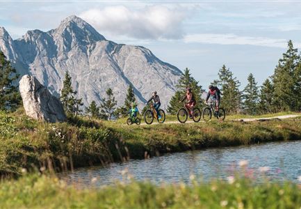
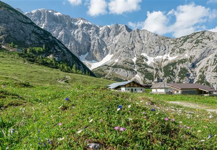
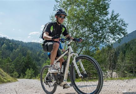
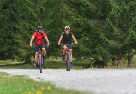
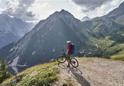
Long, strenuous but worthwhile round trip around the Wetterstein mountains!
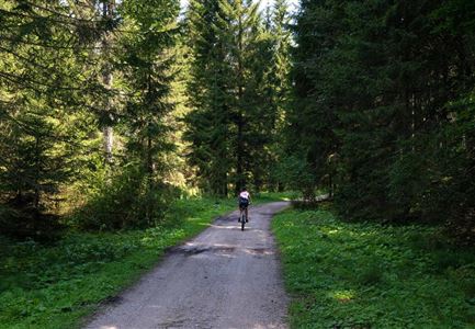
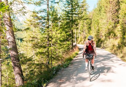
The panoramic and only slightly ascending forest path begins at the Salzbach car park and runs along the Leutascher Ache, past the Gaistal- & Tillfussalm in the direction of Seebensee / Ehrwald. Shortly after the Iglsee the forest road branches off, keep right here and follow the steep forest road to the Ehrwalder Alm. From the Ehrwalder Alm it is mostly downhill, the Ganghoferstraße to the centre of Ehrwald. Follow the cycle path along the main road uphill past the Grainau war memorial chapel. On the Höhenrain-Panoramaweg down to the Hotel Waxenstein. Follow the road towards Eibsee to the upper village square in Grainau. Follow the signs to Garmisch-Partenkirchen. Follow Partnach to the Olympic Ski Stadium in Garmisch until you reach the entrance to Partnachklamm.

From here follow direction Wildenau, Hintergraseck to Elmau. Between Schloss Elmau and Alpengasthof Elmau take the path towards the two lakes Ferchensee / Lautersee. On hot summer days, these two lakes are perfect for cooling down before the last few kilometres. Now continue in the direction of Mittenwald and turn right in front of Hotel Drachenburg onto "In Kreuth"

Read More...

Features & Characteristics

Start Point

Leutasch Gaistal parking Salzbach

End Point

Leutasch Gaistal parking Salzbach

Loop tour

Yes

Similar Tour Suggestions

E-Biken in Mösern mit Blick auf die Hohe Munde

Cycling

Bikeroute No. 5080 Rauthhütte

Length

5,00 km

Duration

01:20 h

Uphill

423 hm

Downhill

416 hm

Altitude

1601 hm

Difficulty

Hard

Möserer See im Frühling - Paar auf Liege vor Möserer Seestube von aus der Entfernung.jpg

Cycling

Biketour No. 544 Mösern-Wildmoos around the Brunschkopf

Length

11,50 km

Duration

01:30 h

Uphill

300 hm

Altitude

1387 hm

Difficulty

Medium

Familie beim Radfahren um den Kaltwassersee - Seefeld

Cycling

Biketour No. 5027 Rosshütte

Length

10,80 km

Duration

01:20 h

Uphill

570 hm

Downhill

5 hm

Altitude

1751 hm

Difficulty

Hard

Gaistal

Cycling

Biketour Tillfussalm alpine hut

Length

9,60 km

Duration

01:20 h

Uphill

174 hm

Altitude

1358 hm

Difficulty

Easy

Verbindung-Seefeld-Reith Pfarrhügel (c) Anna Rieder

Cycling

Bike-connection No. 5030 Seefeld-Reith

Length

10,20 km

Duration

00:35 h

Uphill

120 hm

Downhill

115 hm

Altitude

1193 hm

Difficulty

Easy

Radfahrer unterwegs im Gaistal mit Blick auf die Leutascher Ache

Cycling

Biketour No. 552 Gaistal-Hochfeldern Alm

Length

20,20 km

Duration

02:00 h

Uphill

539 hm

Downhill

536 hm

Altitude

1733 hm

Difficulty

Hard

Erfrischende Rast an den Isarquellen

Cycling

Biketour No. 578 Hinterautal-Isarursprung-Kastenalm

Length

28,30 km

Duration

02:30 h

Uphill

327 hm

Downhill

324 hm

Altitude

1220 hm

Difficulty

Easy

Gravelbiker auf der Gleirschhoehe im Hinterautal - Naturpark Karwendel

Cycling

Biketour No. 579 Gleirschtal-Möslalm

Length

22,60 km

Duration

02:30 h

Uphill

392 hm

Altitude

1272 hm

Difficulty

Medium