Start Point

Parking lot Puitbach/Ahrn Leutasch

End Point

Parking lot Puitbach/Ahrn Leutasch

Difficulty

Easy

Total Distance

1,90 km

Descent Meters

23 m

Highest Point

1100 m

Status

Closed

Map & Elevation Profile

Start Point

Parking lot Puitbach/Ahrn Leutasch

End Point

Parking lot Puitbach/Ahrn Leutasch

Difficulty

Easy

Total Distance

1,90 km

Descent Meters

23 m

Highest Point

1100 m

Status

Closed

Cross-country Skiing

Best Time

Closed

Jan

Feb

Mar

Apr

May

Jun

Jul

Aug

Sep

Oct

Nov

Dec

Ski-nordic

Ski-nordic-classic

Trail Entry point:
At the Puitbach/Ahrn parking lot in the Puitbach district.

Trail Character:
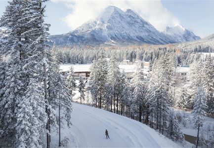
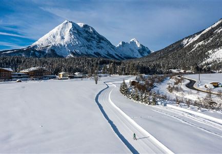
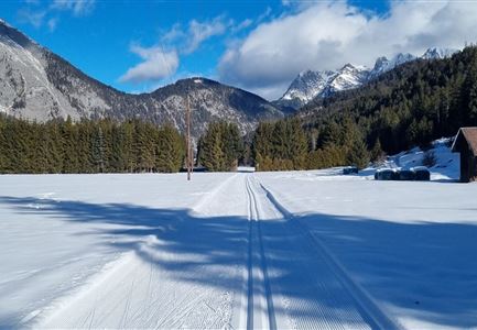
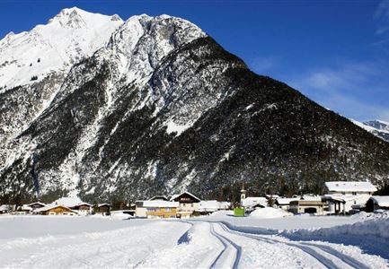
The A8 Lehner Trail is a very short loop starting from the parking lot in Puitbach. From there, you need to cross the road to reach the trailhead. The route follows the edge of the forest towards Ahrn and Lehner, looping behind the houses back to the starting point. The A8 serves as an ideal connecting trail to the A9 Unterleutasch and is also perfectly suited for sled cross-country skiing.

Connecting Trails:
A9 Unterleutasch
If you run directly from the parking lot towards Ahrn, you can cross the road and then continue onto the A7 Gasse Trail.
An overview of the entire cross-country skiing network (incl. trail status) and helpful cross-country skiing information (ticket machines, waxing and service points, changing facilities, ...) can be found in the cross-country skiing report.

Features & Characteristics

Stamina

Technique

Start Point

Parking lot Puitbach/Ahrn Leutasch

End Point

Parking lot Puitbach/Ahrn Leutasch

Barrier-free/adaptive cross-country skiing

Yes

Skating

Yes

Klassisch

Yes

Similar Tour Suggestions

Loipe A5 Obern in Leutasch - Luftaufnahme (2).jpg

Cross-country Skiing

A5 - Obern

Length

5,30 km

Uphill

29 hm

Altitude

1177 hm

Difficulty

Easy

Closed
Langlaufen-A4-Muggenmoos-Loipe---Buchen

Cross-country Skiing

A4 - Muggenmoos

Length

1,60 km

Uphill

15 hm

Altitude

1262 hm

Difficulty

Easy

Closed
Neuschnee und Snowlarming Eröffnung-18.jpg

Cross-country Skiing

A6 - Alpenbad

Length

5,60 km

Uphill

70 hm

Altitude

1160 hm

Difficulty

Easy

Closed
Loipe A9 Unterleutasch

Cross-country Skiing

A9 - Unterleutasch

Length

13,70 km

Uphill

81 hm

Altitude

1092 hm

Difficulty

Easy

Closed
Loipe A7 Gasse mit Langlaeuferin.jpg

Cross-country Skiing

A7 - Gasse

Length

4,70 km

Uphill

37 hm

Altitude

1121 hm

Difficulty

Easy

Closed
Langlaufen in Seefeld - Langläufer auf der A1 beim Seekirchl in Seefeld - Tirols Hochplateau (1).jpg

Cross-country Skiing

A1 - Seekirchl Loipe

Length

3,00 km

Uphill

19 hm

Altitude

1189 hm

Difficulty

Easy

Closed
Langlaufloipe A11

Cross-country Skiing

A11 - Bodenalm

Length

10,70 km

Uphill

60 hm

Altitude

1037 hm

Difficulty

Easy

Closed
Seefeld Nachtloipe A7 mit Seekirchl zur Blauen Stunde.jpg

Cross-country Skiing

A1 - Nachtloipe - flood light trail

Length

3,00 km

Uphill

19 hm

Altitude

1189 hm

Difficulty

Easy

Closed