Start Point

Schanz Leutasch

End Point

Burggraben Leutasch

Difficulty

Easy

Total Distance

1,20 km

Highest Point

1030 m

Status

Closed

Map & Elevation Profile

Start Point

Schanz Leutasch

End Point

Burggraben Leutasch

Difficulty

Easy

Total Distance

1,20 km

Highest Point

1030 m

Status

Closed

Cross-country Skiing

Best Time

Closed

Jan

Feb

Mar

Apr

May

Jun

Jul

Aug

Sep

Oct

Nov

Dec

Ski-nordic-classic

Ski-nordic-skating

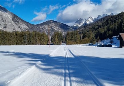
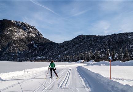
This trail is freshly groomed every day. However, icy and slippery sections may still occur.

Trail Entry Point:
Schanz district (near the restaurants Bärenwirt and/or Klammgeist) in Leutasch

Trail Character:
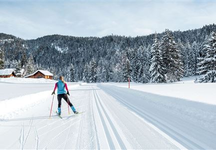
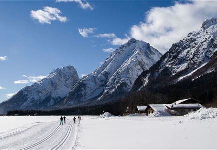
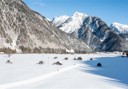
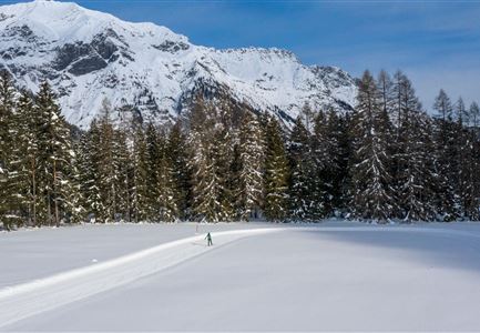
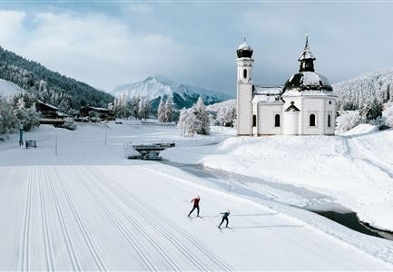
The Bärenwirt trail is a short and easy loop, perfect for beginners. Opposite the Bärenwirt and the Klammgeist (turnaround point) lies the Porta Claudia ruin – the former fortress that once guarded the border between Bavaria and Tyrol (the old customs post). From here, you can also catch a glimpse of the Ederkanzel. At the end of the Leutasch Valley, you can also hear the legend of the Spirit Gorge (Klammgeist) during the summer months.
If you prefer not to ski back, you can also take the bus: regular buses run from the Bärenwirt/Klammgeist stop back to Gasse or Weidach.
Note: Trail conditions may change throughout the day depending on the weather. Please be aware that icy sections or deep ruts may occur and adjust your skiing accordingly.

Connecting Trails:
A9 Unterleutasch
An overview of the entire cross-country trail network (including current status) as well as helpful cross-country information (ticket machines, waxing and service stations, changing facilities, etc.) can be found in

Similar Tour Suggestions

Langlaufloipe A11

Cross-country Skiing

A11 - Bodenalm

Length

10,70 km

Uphill

60 hm

Altitude

1037 hm

Difficulty

Easy

Closed
Langlaufen in der Region Seefeld - Langläuferin im Wildmoos.jpg

Cross-country Skiing

A3 - Torfstich

Length

1,80 km

Uphill

11 hm

Altitude

1317 hm

Difficulty

Easy

Closed
Langlaufen in Seefeld - Langläufer auf der A1 beim Seekirchl in Seefeld - Tirols Hochplateau (1).jpg

Cross-country Skiing

A1 - Seekirchl Loipe

Length

3,00 km

Uphill

19 hm

Altitude

1189 hm

Difficulty

Easy

Closed
Loipe A7 Gasse mit Langlaeuferin.jpg

Cross-country Skiing

A7 - Gasse

Length

4,70 km

Uphill

37 hm

Altitude

1121 hm

Difficulty

Easy

Closed
Neuschnee und Snowlarming Eröffnung-18.jpg

Cross-country Skiing

A6 - Alpenbad

Length

5,00 km

Uphill

20 hm

Altitude

1160 hm

Difficulty

Easy

Closed
Loipe A8 Lehner mit Langlaeuferin

Cross-country Skiing

A8 - Lehner

Length

1,90 km

Uphill

23 hm

Altitude

1100 hm

Difficulty

Easy

Closed
Seefeld Nachtloipe A7 mit Seekirchl zur Blauen Stunde.jpg

Cross-country Skiing

A1 - Nachtloipe - flood light trail

Length

3,00 km

Uphill

19 hm

Altitude

1189 hm

Difficulty

Easy

Closed
Langlaufen-A4-Muggenmoos-Loipe---Buchen

Cross-country Skiing

A4 - Muggenmoos

Length

1,60 km

Uphill

15 hm

Altitude

1262 hm

Difficulty

Easy

Closed