Open until 18:00
Open until 18:00

Address & Contact

Gaistalalm

Town:

Gaistal, Wettersteingebirge, 6105 Leutasch

Phone:

Email:

Web:

Alpine pastures & huts

Easily accessible alpine pastures & huts

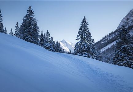
Alpine pastures & mountain huts in winter

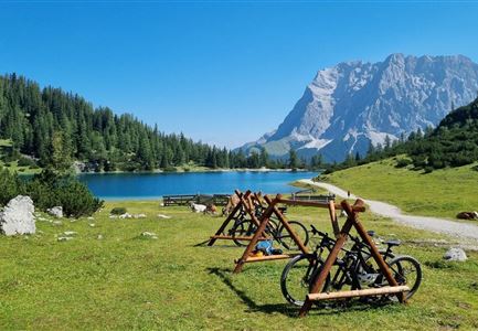
E-bike charging station

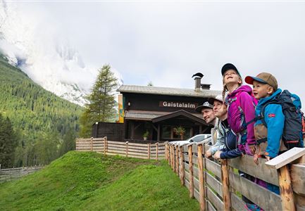
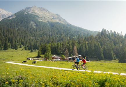
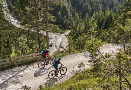
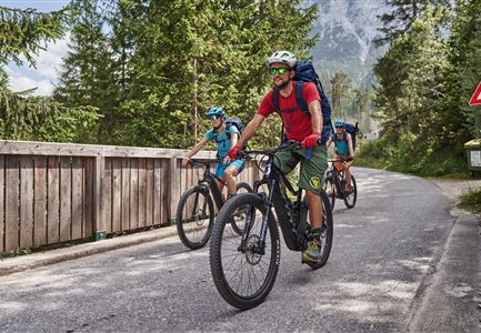
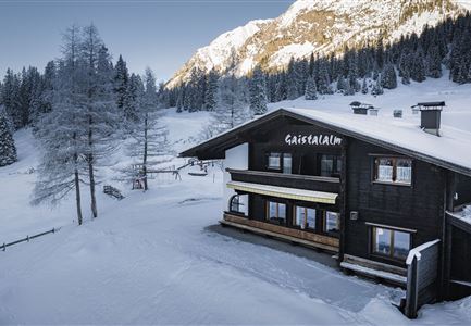
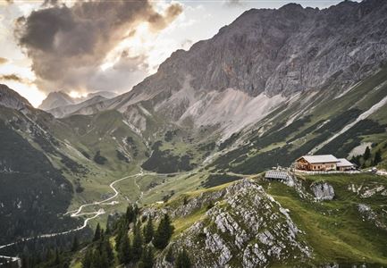
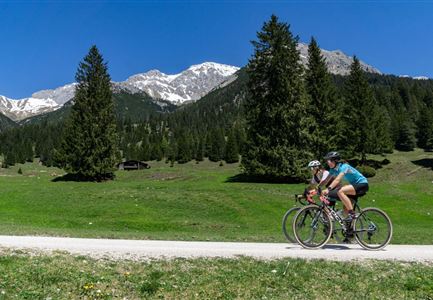
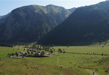
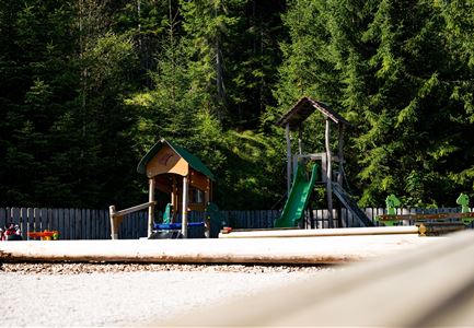
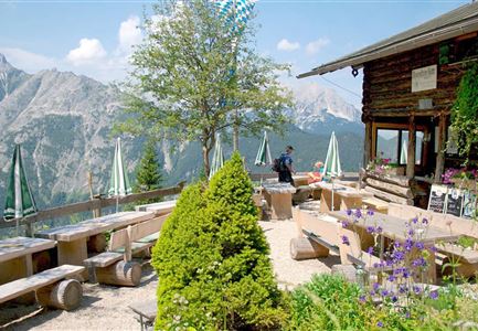
The family-friendly alpine hut is located in the heart of the picturesque Gaistal valley between the Wetterstein Mountains and the Mieminger Kette. The Gaistalalm is easily accessible all year round, even with children, and during the warm summer months offers a real alpine pasture with cows and a playground at 1373 metres above sea level. A cosy sun terrace offers picturesque views of the Alps and can also be used for private parties on request. The Gaistalalm can be reached either on foot or by (e-)bike, a bike storage facility is of course available for the duration of your stay, but you must bring your own charger.

OVERNIGHT STAY
By prior reservation on +43 5214 5190, up to 15 people can stay at the charming alpine hut during the summer months in the 9-mattress dormitory or 4-bed room. A delicious Alpine breakfast is then included, e-bikes can be charged overnight (charger must be brought along) and dogs are also welcome in the hut on request.

STARTING POINT
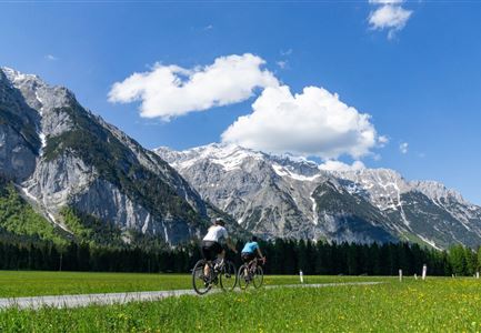
Starting point of the tour is the paid car park Salzbach or the bus stop Leutasch Salzbach/Gaistal. From there you can reach the Gaistalm comfortably and relaxed on
Opening Times

Open until 18:00
22/07/2025 - 31/10/2025
Monday - Sunday
09:00 - 18:00

Connected Tours

Gaistal Winter Naturaufnahme Winterwanderweg mit beschneiden Bäumen.jpg

Running

Wintertrail - Leutasch Hüttenrunde

Length

24,70 km

Uphill

644 hm

Altitude

1410 hm

Difficulty

Hard

Gravelbike Asphaltstraße mit Bergpanorama - Leutasch

Cycling

Biketour Wettersteinrunde

Length

77,80 km

Duration

06:30 h

Uphill

1754 hm

Altitude

1599 hm

Difficulty

Hard

Drohnenaufnahme Gaistal im Sommer - Sonnenaufgang Predigtstuhl - Blick Richtung Gehrenspitze.jpg

Running

Wetterstein Trailrun-Runde

Length

25,00 km

Duration

10:30 h

Uphill

1490 hm

Altitude

2230 hm

Difficulty

Hard

Radfahrer bei der Auffahrt zur Rotmoosalm - Pause mit Blick auf die Berge

Cycling

Biketour Nr. 553 Gaistal-Rotmoosalm

Length

20,10 km

Duration

02:30 h

Uphill

838 hm

Downhill

834 hm

Altitude

2032 hm

Difficulty

Hard

Wanderer auf dem Predigtstuhl.jpg

Hiking

Bike & Hike Predigtstuhl, 2.234 m

Length

19,00 km

Duration

04:30 h

Uphill

1015 hm

Altitude

2234 hm

Difficulty

Hard

Gravelbike - Anfahrt zur Gaistalalm

Cycling

Bike Trail Tirol Etappe 06: Ehrwald-Scharnitz

Length

40,00 km

Duration

04:00 h

Uphill

990 hm

Downhill

1020 hm

Altitude

1590 hm

Difficulty

Medium

Seebensee mit Raeder im Vordergrund.jpg

Cycling

Biketour Nr. 551 Seebensee

Length

27,60 km

Duration

01:40 h

Uphill

561 hm

Downhill

557 hm

Altitude

1581 hm

Difficulty

Medium

Radfahrerin beim Sonnenaufgang im Gaistal - 02.jpg

Cycling

Gravelbiketour ins Gaistal

Length

18,10 km

Duration

01:45 h

Uphill

353 hm

Downhill

194 hm

Altitude

1363 hm

Difficulty

Medium

Rotmoosalm im Gaistal beim Sonnenuntergang (C) Olympiaregion Seefeld

Hiking

Hochalmen Rundwanderung durch das Gaistal

Length

24,40 km

Duration

09:45 h

Uphill

1263 hm

Downhill

1264 hm

Altitude

2132 hm

Difficulty

Medium

E-Biken im Gaistal im Sommer_zwei Biker_innen fahren zur Gaistalalm.jpg

Cycling

Biketour Gaistalalm

Length

4,00 km

Duration

00:30 h

Uphill

136 hm

Downhill

30 hm

Altitude

1356 hm

Difficulty

Easy

Familien-Weitwanderung im Gaistal - Familie am Zaun vor Gaistalalm.jpg

Hiking

Wanderung zur Gaistalalm & Tillfussalm

Length

9,70 km

Duration

03:00 h

Uphill

229 hm

Altitude

1404 hm

Difficulty

Easy

Radtour ins Gaistal - Bruecke am Eingang vom Gaistal

Hiking

Bike & Hike Seebensee & Drachensee

Length

31,00 km

Duration

04:45 h

Uphill

820 hm

Altitude

1897 hm

Difficulty

Medium

Radfahrer unterwegs im Gaistal mit Blick auf die Leutascher Ache

Cycling

Biketour Nr. 552 Gaistal-Hochfeldern Alm

Length

20,20 km

Duration

02:00 h

Uphill

539 hm

Downhill

536 hm

Altitude

1733 hm

Difficulty

Hard

Tillfussalm im Gaistal - Hütte und Terrasse am Morgen.jpg

Cycling

Biketour Tillfussalm

Length

9,60 km

Duration

01:20 h

Uphill

174 hm

Altitude

1358 hm

Difficulty

Easy

Gaistal-Seebensee-Blick-Zugpsitze-und-Seebenalm (c) Anna Rieder

Cycling

Biketour Zugspitz-8

Length

104,00 km

Duration

10:00 h

Uphill

1687 hm

Altitude

1596 hm

Difficulty

Medium

Gaistalalm im Winter - Drohnennahaufnahme von der Seite mit Wettersteingebirge (2).jpg

Hiking

W12: Winterwanderung zur Gaistalalm

Length

8,20 km

Duration

02:30 h

Uphill

182 hm

Altitude

1366 hm

Difficulty

Easy

Open

Similar Infrastructures

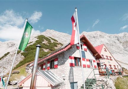
Ein gemütliches Berghaus mit flaggen im Vordergrund und beeindruckenden Bergen im Hintergrund. Die Atmosphäre wirkt einladend und naturnah.

Scharnitz

Bettelwurfhütte, hut

Open 24 Hours
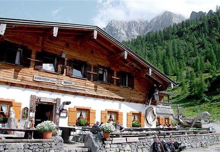
Ein traditionelles alpenländisches Gebäude mit Holzfassade und bunten Fensterläden. Im Hintergrund sind grüne Berge und ein blauer Himmel zu sehen.

Scharnitz

Binsalm, hut

Open until 19:00
Ein gemütliches Holzhaus im alpinen Stil, umgeben von Bäumen. Draußen stehen Tische und Stühle bereit, ideal für Gäste.

Seefeld

Bodenalm, hut

Open until 17:00
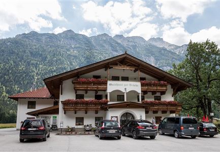
Ein traditionelles alpenländisches Haus mit einem großzügigen Parkplatz. Im Hintergrund sind majestätische Berge und eine grüne Landschaft zu sehen.

Leutasch

Brücke, Gasthaus, Restaurant, Café

Closed, opens on Thursday 11:30
Ein gemütliches Bergrestaurant mit Holzveranda und Blick auf die Berge. Rund um das Restaurant wachsen Blumen und Bäume.

Scharnitz

Brunnsteinhütte, hut

Open until 22:00
Ein Gasthaus mit dem Namen "Zipfer" in einer bergigen Umgebung. Es gibt Terrassenmöbel und Fahrräder vor dem Gebäude, umgeben von grünen Büschen und einem strahlend blauen Himmel.

Scharnitz

Café in der Länd, café, bistro, bar

Open until 22:00