Start Point

Leutasch parking Salzbach (P3-5)

End Point

Leutasch parking Salzbach (P3-5)

Difficulty

Hard

Total Distance

20,20 km

Descent Meters

539 m

Ascent Meters

536 m

Highest Point

1733 m

Total Time

02:00 h

Map & Elevation Profile

Start Point

Leutasch parking Salzbach (P3-5)

End Point

Leutasch parking Salzbach (P3-5)

Difficulty

Hard

Total Distance

20,20 km

Descent Meters

539 m

Ascent Meters

536 m

Highest Point

1733 m

Total Time

02:00 h

Cycling

Best Time

Jan

Feb

Mar

Apr

May

Jun

Jul

Aug

Sep

Oct

Nov

Dec

Mountainbike tour

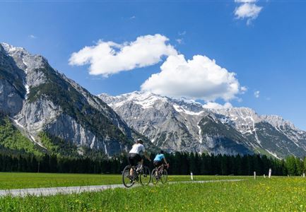
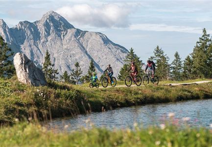
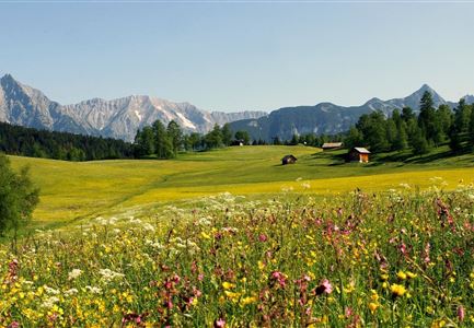
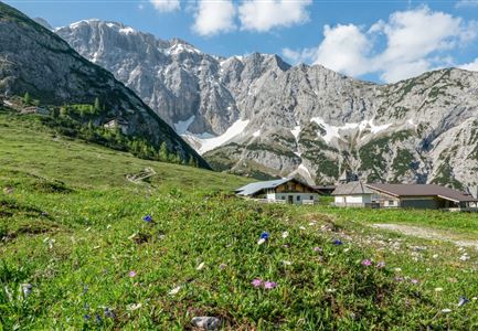
Along alpine herb meadows and imposing mountain peaks to Hochfeldern Alm

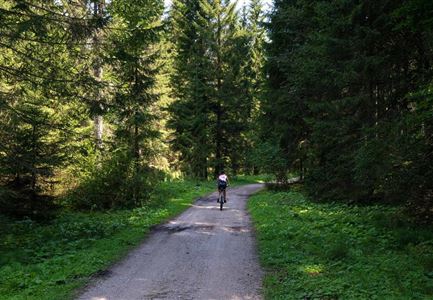
From the Salzbach parking lot in Leutasch ride uphill on a wide forest path - at the beginning a little steeper, then flat through the picturesque valley Gaistal. After a short descent you soon reach the branches to the Gaistal- and Tillfußalm, at km 6,5 you reach the branch to the Hochfeldern Alm. Leaving the bottom of the valley, you pass the Felderalm. After a short steep section to the forest line you pass the turnoff to the Ehrwalder Alm. About another kilometre later you reach the Hochfeldern Alm (1,732 m), which is open in summer. If you want to go on to the Ehrwalder Alm (Route No. 813), cycle back to the junction with Route 551 and then head west. Shortly after the lake Iglsee the forest road branches off, keep right here and bike towards Ehrwalder Alm.

Attention pasture cattle, please keep distance and cross the pasture area calmly and quickly.

Features & Characteristics

Stamina

Technique

Start Point

Leutasch parking Salzbach (P3-5)

End Point

Leutasch parking Salzbach (P3-5)
Similar Tour Suggestions

Familie beim Radfahren um den Kaltwassersee - Seefeld (3).jpg

Cycling

Biketour No. 5027 Rosshütte

Length

10,80 km

Duration

01:45 h

Uphill

570 hm

Altitude

1751 hm

Difficulty

Hard

E-Biken.jpg

Cycling

Biketour No. 5049 Reith-Kaiserstandrunde

Length

6,60 km

Duration

01:10 h

Uphill

254 hm

Downhill

252 hm

Altitude

1318 hm

Difficulty

Hard

Wettersteinhuette (l) und Wangalm (r) im Wettersteingebirge (2).jpg

Cycling

Biketour No. 540 Wettersteinhütte-Wangalm

Length

14,00 km

Duration

01:30 h

Uphill

618 hm

Altitude

1761 hm

Difficulty

Hard

Gravelbikerin fährt vom Gaistal Richtung Leutasch.jpg

Cycling

Bikeroute No. 5080 Rauthhütte

Length

5,00 km

Duration

01:20 h

Uphill

423 hm

Downhill

416 hm

Altitude

1601 hm

Difficulty

Hard

E-bike Karwendel.jpg

Cycling

Biketour No. 588 Reith-Eigenhofen

Length

5,70 km

Duration

00:30 h

Uphill

6 hm

Downhill

528 hm

Altitude

1123 hm

Difficulty

Hard

Blumenwiese in Neuleutasch

Cycling

Biketour No. 5070 Neuleutasch-Wildmoos

Length

3,80 km

Duration

00:35 h

Uphill

127 hm

Downhill

51 hm

Altitude

1317 hm

Difficulty

Hard

Wanderung zur Eppzirler Alm - Drohnenaufnahme Alm (1).jpg

Cycling

Biketour Nr. 5033 Eppzirler Alm

Length

13,30 km

Duration

01:30 h

Uphill

447 hm

Altitude

1457 hm

Difficulty

Hard

Drohnenaufnahme Gschwandtkopf - Speichersee mit Bäumen und Hohe Munde bei Sonnenuntergang.jpg

Cycling

Biketour No. 545 Gschwandtkopf

Length

6,40 km

Duration

00:45 h

Uphill

267 hm

Downhill

263 hm

Altitude

1486 hm

Difficulty

Hard