Start Point
Information office Scharnitz (P2)
End Point
Information office Scharnitz (P2)
Difficulty
Hard
Total Distance
39,00 km
Descent Meters
1152 m
Ascent Meters
1145 m
Highest Point
1922 m
Total Time
06:30 h
Cycling
Best Time
Jan
Feb
Mar
Apr
May
Jun
Jul
Aug
Sep
Oct
Nov
Dec
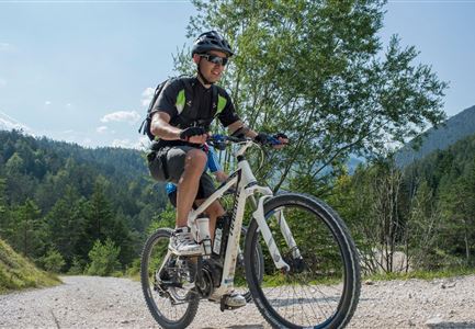
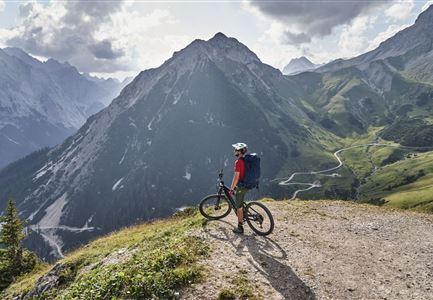
Mountainbike tour
Long and challenging tour - scenically absolutely worthwhile!
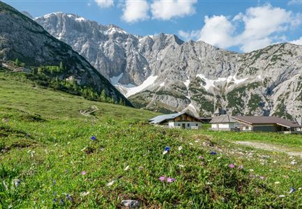
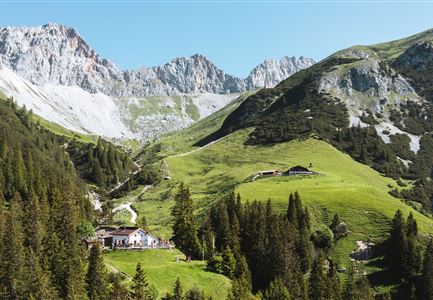
The route starts at the Scharnitz Information Centre / Länd car park and follows a low-traffic, asphalted municipal road for the first 1.5 km. Shortly before the Isarlodge Wiesenhof, the well-drivable forest path begins. Via Gleirschhöhe you reach the junction Gleirschtal in approx. 4.5 km. After a rapid descent and crossing of the Isar, the ascent follows - the so-called "Krapfen". This is the only part where endurance and stamina are required. After reaching the Gleirschtalanhöhe, passing magnificent alpine pastures, you reach a junction, where you continue in the direction of the Möslalm. At the next junction you can either ride straight ahead or keep right and after a short steep ascent you will reach the Möslalm. From the Möslalm a difficult ascent begins, on partly coarse gravel through a wild and romantic landscape of the high alpine Samertal. The last ascent before the Pfeishütte will only be possible for the very best bikers due to the coarse gravel underground, for the rest this is a push distance, but it is worth it! Very nice place to stay overnight at the rustic Pfeishütte. The hut
Features & Characteristics
Stamina
Technique
Start Point
Information office Scharnitz (P2)
End Point
Information office Scharnitz (P2)
