Start Point

Informationszentrum Seefeld

End Point

Wildmoos
Difficulty

Medium

Total Distance

6,30 km

Descent Meters

122 m

Ascent Meters

120 m

Highest Point

1308 m

Total Time

00:30 h

Map & Elevation Profile

Start Point

Informationszentrum Seefeld

End Point

Wildmoos
Difficulty

Medium

Total Distance

6,30 km

Descent Meters

122 m

Ascent Meters

120 m

Highest Point

1308 m

Total Time

00:30 h

Cycling

Best Time

Jan

Feb

Mar

Apr

May

Jun

Jul

Aug

Sep

Oct

Nov

Dec

Mountainbike tour

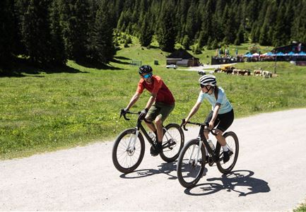
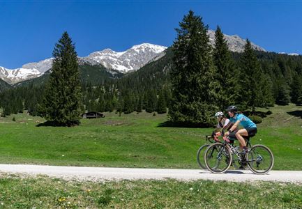
Short bike tour from Seefeld to the picturesque Wildmoos plateau

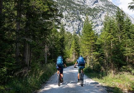
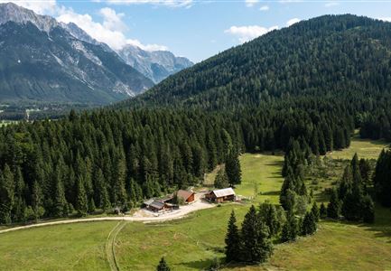
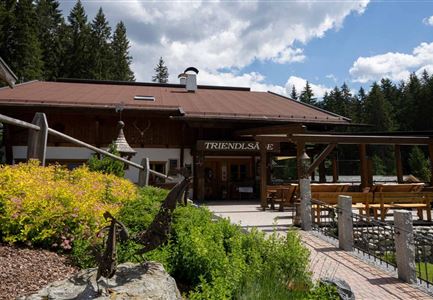
This beautifully rewarding bike tour leads from Seefeld to the Wildmoosalm and with just under three kilometers and 120 meters in altitude is well suited as a connecting piece to larger tours or as a small evening round with a delicious reward and a leisurely descent.

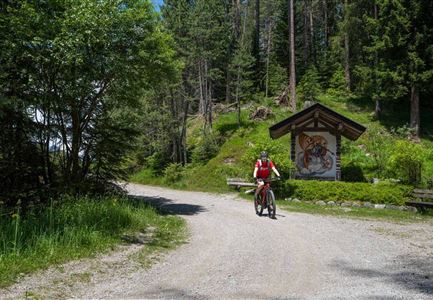
From the starting point at the information office at the Seefeld train station, first cross the north parking lot to the right and then follow Andreas-Hofer-Straße to the left until you reach Olympiastraße. Continue straight ahead to the next intersection and turn right onto the Leutascher Bundesstraße. In the first big bend, the municipal road to Wildmoos branches off well signposted. Now pedal up the full length ahead, because cool refreshments and delicious delicacies are already waiting on the cozy sun terrace of the Wildmoosalm. To get back to the starting point / parking lot, take the same way back.

Attention pasture cattle, please keep distance and cross the pasture area calmly and quickly.

Features & Characteristics

Stamina

Technique

Start Point

Informationszentrum Seefeld

End Point

Wildmoos
Similar Tour Suggestions

535_Triendlweg-Bauernwald_5-(c)-Olympiaregion-Seefeld,-Anna-Rieder-(4).jpg

Cycling

Biketour No. 535 Triendlweg-Bauernwald

Length

8,60 km

Duration

01:10 h

Uphill

217 hm

Altitude

1220 hm

Difficulty

Medium

Leutascher Ache im Sommer - Drohnenaufnahme Kurve im Fluss (1).jpg

Cycling

Biketour - Adventure Ride

Length

48,50 km

Duration

05:00 h

Uphill

1071 hm

Altitude

1510 hm

Difficulty

Medium

Gravelbiker auf dem Radweg zum Brunschkopf im Sommer (2).jpg

Cycling

Biketour No. 544 Mösern-Wildmoos around the Brunschkopf

Length

11,50 km

Duration

01:30 h

Uphill

300 hm

Altitude

1387 hm

Difficulty

Medium

Pfarrkirche im Sommer - Moesern

Cycling

Biketour No. 5068 Mösern-Brunschkopf

Length

8,90 km

Duration

01:00 h

Uphill

281 hm

Altitude

1496 hm

Difficulty

Medium

Muggenmoosalm bei Leutasch im Sommer - Drohnenaufnahme.jpg

Cycling

Biketour No. 5048 Muggenmoosalm

Length

14,80 km

Duration

01:45 h

Uphill

326 hm

Downhill

323 hm

Altitude

1370 hm

Difficulty

Medium

Gaistal-Seebensee-Blick-Zugpsitze-und-Seebenalm (c) Anna Rieder

Cycling

Biketour Zugspitz-8

Length

104,00 km

Duration

10:00 h

Uphill

1687 hm

Altitude

1596 hm

Difficulty

Medium

Partially open
Wildmoosalm im Sommer - Hütte mit Kuh.jpg

Cycling

Gravelbiketour Wildmoos

Length

20,00 km

Duration

03:15 h

Uphill

450 hm

Altitude

1510 hm

Difficulty

Medium

Reitherjoch-Alm (c) Anna Rieder

Cycling

Biketour No. 5032 Reitherjoch Alm

Length

12,60 km

Duration

02:00 h

Uphill

370 hm

Altitude

1500 hm

Difficulty

Medium