Start Point

Leutasch parking Salzbach (P5)

End Point

Leutasch parking Salzbach (P5)

Difficulty

Medium

Total Distance

3,90 km

Descent Meters

171 m

Ascent Meters

172 m

Highest Point

1417 m

Total Time

00:45 h

Map & Elevation Profile

Start Point

Leutasch parking Salzbach (P5)

End Point

Leutasch parking Salzbach (P5)

Difficulty

Medium

Total Distance

3,90 km

Descent Meters

171 m

Ascent Meters

172 m

Highest Point

1417 m

Total Time

00:45 h

Cycling

Best Time

Jan

Feb

Mar

Apr

May

Jun

Jul

Aug

Sep

Oct

Nov

Dec

Mountainbike tour

Short, medium tour in the alpine paradise Gaistal
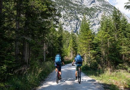
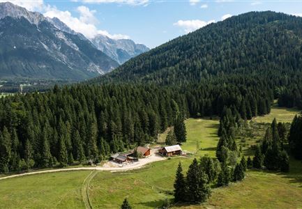
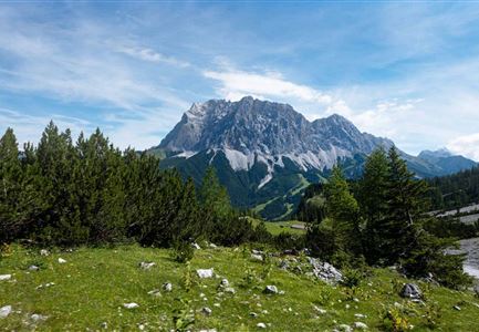
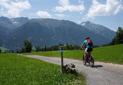
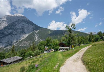
The starting point of the tour is the Salzbach car park in Leutasch. Follow the gravel road until you reach the second junction - turn right here. The Ganghoferweg is forbidden for cyclists. After a short, steeper ascent the path leads slightly uphill until you reach the Hämmermoosalm after approx. 1.5 kilometres.This round is a very popular hiking and walking tour, so be aware of pedestrians and adjust your speed. The large sun terrace, the Tyrolean delicacies and the incomparable ambience of the Mieminger Kette and Wetterstein make a visit to the Hämmermoosalm an unforgettable experience.

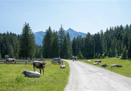
Attention pasture cattle, please keep distance and cross the pasture area calmly and quickly.

Features & Characteristics

Start Point

Leutasch parking Salzbach (P5)

End Point

Leutasch parking Salzbach (P5)

Similar Tour Suggestions

Gravelbiker in Scharnitz im Sommer

Cycling

Bike-connection No. 5051 Seefeld-Scharnitz

Length

25,30 km

Duration

01:15 h

Uphill

256 hm

Downhill

250 hm

Altitude

1195 hm

Difficulty

Medium

Reith-Wiesenwegrunde (c) Anna Rieder

Cycling

Biketour No. 5031 Reith-Wiesenweg

Length

4,60 km

Duration

00:35 h

Uphill

109 hm

Downhill

110 hm

Altitude

1129 hm

Difficulty

Medium

Muggenmoosalm bei Leutasch im Sommer - Drohnenaufnahme.jpg

Cycling

Biketour No. 5048 Muggenmoosalm

Length

14,80 km

Duration

01:45 h

Uphill

326 hm

Downhill

323 hm

Altitude

1370 hm

Difficulty

Medium

Seebensee mit Raeder im Vordergrund

Cycling

Biketour No. 551 Seebensee

Length

27,60 km

Duration

01:40 h

Uphill

561 hm

Downhill

557 hm

Altitude

1581 hm

Difficulty

Medium

Triendlweg-Bauernwald Gasthaus Triendlsäge (c) Anna Rieder

Cycling

Biketour No. 535 Triendlweg-Bauernwald

Length

8,60 km

Duration

01:10 h

Uphill

217 hm

Altitude

1220 hm

Difficulty

Medium

Gravelbiker auf dem Radweg zwischen Mittenwald und Scharnitz im Sommer

Cycling

Biketour Scharnitz - Mittenwald (Bavaria) - Scharnitz

Length

15,10 km

Duration

01:45 h

Uphill

48 hm

Downhill

52 hm

Altitude

963 hm

Difficulty

Easy

Radfahrerinnen auf dem Weg zur Gaistalalm - 01.jpg

Cycling

Gravelbiketour Gaistal

Length

18138,00 km

Duration

01:45 h

Uphill

353 hm

Downhill

194 hm

Altitude

1363 hm

Difficulty

Medium

Gravelbiken in der Region Seefeld (3).jpg

Cycling

Radwanderroute: Scharnitz - Seefeld - Reith

Length

18,50 km

Duration

01:45 h

Uphill

320 hm

Downhill

140 hm

Altitude

1200 hm

Difficulty

Easy

Partially open