Start Point

Seefeld Wildmoosalm

End Point

Buchen Ropferstub'm

Difficulty

Medium

Total Distance

8,80 km

Descent Meters

184 m

Ascent Meters

183 m

Highest Point

1346 m

Total Time

00:25 h

Map & Elevation Profile

Start Point

Seefeld Wildmoosalm

End Point

Buchen Ropferstub'm

Difficulty

Medium

Total Distance

8,80 km

Descent Meters

184 m

Ascent Meters

183 m

Highest Point

1346 m

Total Time

00:25 h

Cycling

Best Time

Jan

Feb

Mar

Apr

May

Jun

Jul

Aug

Sep

Oct

Nov

Dec

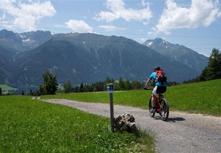
Mountainbike tour

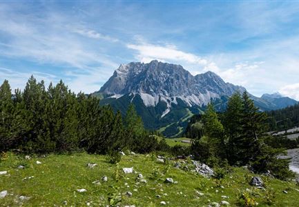
Connecting trail between the Wildmoosalm and the Ropferstub'm in Buchen
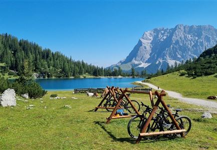
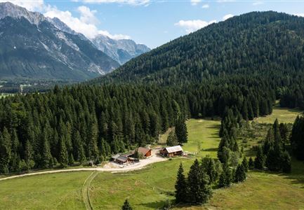
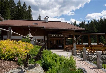
The start is at 1,300 m at the Wildmoosalm in Seefeld. Go left along the wide forest road up to the crossroads. Keep left again towards Ferienheim Wildmoos and Buchen. Always staying on a wide forest road you will pass the hut Ferienheim Wildmoos. If you are lucky and it was a snowy winter, you can admire a natural spectacle here - the Wildmoos lake. This a-periodic (not regular) "natural wonder" probably results from the interplay of water levels in the underground karst systems due to spring precipitation and snowmelt. The route continues along the forest path passing the Seefeld-Wildmoos golf course to the next junction. Keep left again here towards Buchen Ropferstub'm. At the Ropferstub'm you will find a spacious sun terrace with probably the most beautiful view on the Inntal valley (on clear days you can see even up to the Arlberg). Enjoy some specialities such as a Heidelbeerschmarrn, strudel & more.

Attention pasture cattle, please keep distance and cross the pasture area calmly and quickly.

Features & Characteristics

Start Point

Seefeld Wildmoosalm

End Point

Buchen Ropferstub'm

Similar Tour Suggestions

Bike Tour durchs Karwendeltal aufs Karwendelhaus - Scharnitz (11).jpg

Cycling

Biketour No. 579 Gleirschtal-Möslalm

Length

22,60 km

Duration

02:30 h

Uphill

392 hm

Altitude

1272 hm

Difficulty

Medium

Bike-Tour-durchs-Karwendeltal-aufs-Karwendelhaus

Cycling

Biketour No. 595 Karwendeltal-Karwendelhaus

Length

37,00 km

Duration

04:00 h

Uphill

850 hm

Altitude

1771 hm

Difficulty

Medium

Muggenmoosalm bei Leutasch im Sommer - Drohnenaufnahme.jpg

Cycling

Biketour No. 5048 Muggenmoosalm

Length

14,80 km

Duration

01:45 h

Uphill

326 hm

Downhill

323 hm

Altitude

1370 hm

Difficulty

Medium

Partially open
Gravelbiker auf der Strasse zwischen Seefeld und Leutasch -Abfahrt

Cycling

Bike-connection No. 5052 Seefeld-Leutasch

Length

15,00 km

Duration

00:45 h

Uphill

271 hm

Altitude

1221 hm

Difficulty

Medium

Möserer See im Frühling - Paar auf Liege vor Möserer Seestube von aus der Entfernung.jpg

Cycling

Biketour Seefeld - Mösern - Wildmoos - Katzenkopf - Fludertal - Seefeld

Length

27,20 km

Duration

04:00 h

Uphill

657 hm

Downhill

651 hm

Altitude

1368 hm

Difficulty

Medium

Partially open
Leutascher Ache im Sommer mit Blick auf die Hohe Munde - Weidach - 1350x1080.jpg

Cycling

Biketour Arnspitzrunde

Length

33,10 km

Duration

03:30 h

Uphill

377 hm

Altitude

1220 hm

Difficulty

Medium

E-Bike-Pause-bei-Huette.jpg

Cycling

Bike-connection No. 546 Mösern-Seefeld

Length

10,10 km

Duration

00:30 h

Uphill

207 hm

Altitude

1292 hm

Difficulty

Medium

Triendlweg-Bauernwald Gasthaus Triendlsäge (c) Anna Rieder

Cycling

Biketour No. 535 Triendlweg-Bauernwald

Length

8,60 km

Duration

01:10 h

Uphill

217 hm

Altitude

1220 hm

Difficulty

Medium