Start Point
Seefeld Seekirchl
End Point
Seefeld Seekirchl
Difficulty
Easy
Total Distance
11,80 km
Descent Meters
334 m
Ascent Meters
330 m
Highest Point
1499 m
Total Time
02:30 h
Running
Best Time
Jan
Feb
Mar
Apr
May
Jun
Jul
Aug
Sep
Oct
Nov
Dec
Trailrunning
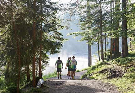
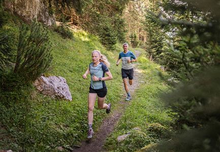
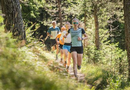
This easy trail run route begins at Seefeld Seekirchl and winds its way through the Kirchwald. The climb is gentle at first, but soon it steepens briefly to present your first challenge.
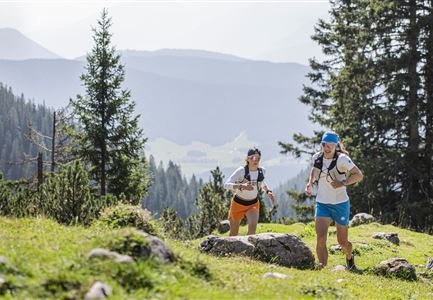
From there, you head towards Wildmoosalm, passing the open fields of the Wildmoos. Enjoy a lovely view of the Hohe Munde along the way. The trail remains varied with short climbs and flatter stretches.
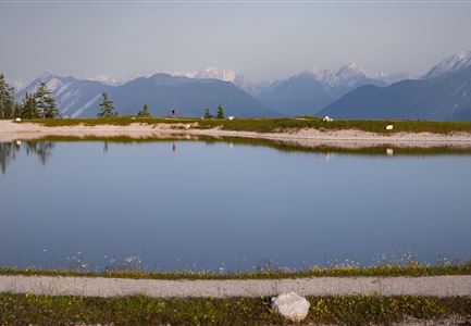
Before reaching the Brunschkopf viewpoint, the path gets steeper once again. But the effort is well worth it: at the top, you'll be rewarded with sweeping views over Seefeld and the surrounding mountain ranges. The route then continues over gently rolling terrain to Möserer See, an idyllic natural swimming lake that's perfect for a short break.
A brief detour along the Broch-Weg leads you to the Friedensglocke. From this vantage point, you can admire views over the Inntal before heading back to Seefeld via Mösern.
Overall, it's a varied route with challenging sections and impressive panoramas. The indicated running time is approximate and depends on your personal fitness.
The indicated running
Features & Characteristics
Stamina
Technique
Start Point
Seefeld Seekirchl
End Point
Seefeld Seekirchl
