Start Point

Seefeld Railway Station

End Point

Seefeld Railway Station

Difficulty

Easy

Total Distance

8,40 km

Descent Meters

180 m

Ascent Meters

180 m

Highest Point

1198 m

Total Time

02:30 h

Map & Elevation Profile

Start Point

Seefeld Railway Station

End Point

Seefeld Railway Station

Difficulty

Easy

Total Distance

8,40 km

Descent Meters

180 m

Ascent Meters

180 m

Highest Point

1198 m

Total Time

02:30 h

Hiking

Best Time

Jan

Feb

Mar

Apr

May

Jun

Jul

Aug

Sep

Oct

Nov

Dec

Hiking tour

Circular hike

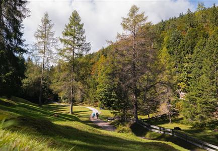
The tour starts at Seefeld train station. From here, follow Münchner Straße straight ahead until you reach the turnoff for Wasserfallweg. This path is easy to walk and leads gently into the forest before merging into Heilbadstraße. Continue along Heilbadstraße until the end, where the hiking trail begins.

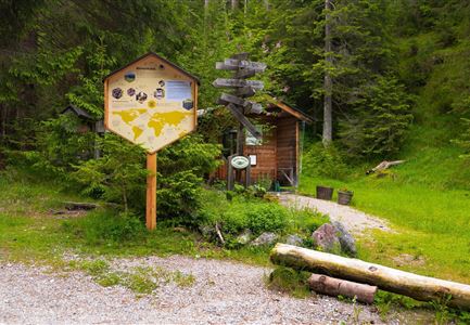
From here, follow the signs to Bodenalm. The path gradually ascends and winds through a peaceful forest landscape. After a while, you will reach Bodenalm — a great spot to take a short break, enjoy the view, and catch your breath

After the break, return along the same path until you reach the last junction. Here, turn right towards Lehenwald. The trail leads through a beautiful forest section before arriving at Triendlsäge — a traditional inn, perfect for a rest and some refreshments.

From Triendlsäge, simply follow the signs back to Seefeld. There are several routes to choose from, all leading back to the town center. A beautiful and varied circular hike, featuring peaceful forest trails and a charming place to stop for a break.

Features & Characteristics

Start Point

Seefeld Railway Station

End Point

Seefeld Railway Station

Family-friendly

Yes

Loop tour

Yes

Similar Tour Suggestions

Drohnenfoto von Neuleutasch mit Blick Richtung Leutasch.jpg

Hiking

Hike from Leutasch to Seefeld

Length

4,60 km

Duration

01:30 h

Uphill

118 hm

Downhill

83 hm

Altitude

1225 hm

Difficulty

Easy

Fischerrei am Weidachsee - Leutasch

Hiking

Circular walk around Weidachsee lake

Length

3,80 km

Duration

01:00 h

Uphill

46 hm

Altitude

1156 hm

Difficulty

Easy

Friedensglocke im Herbst - Frau steht am Geländer und blickt ins Inntal beim Sonnenuntergang- Sonnenstern an der Glocke.jpg

Hiking

Peace Bell Hiking Trail

Length

4,60 km

Duration

01:30 h

Uphill

92 hm

Downhill

96 hm

Altitude

1292 hm

Difficulty

Easy

Wildsee im Herbst - Drohnenaufnahme - Blick auf Golfplatz und See mit Bergpanorama.jpg

Hiking

Circular hike from Seefeld to Auland & Reith

Length

9,30 km

Duration

02:45 h

Uphill

139 hm

Downhill

141 hm

Altitude

1199 hm

Difficulty

Easy

Porta Claudia Scharnitz - Tor mit Weg.jpg

Hiking

Circular hiking trail Porta Claudia

Length

2,50 km

Duration

01:00 h

Uphill

125 hm

Downhill

120 hm

Altitude

1085 hm

Difficulty

Easy

Katzenkopfhuette Leutasch (2).jpg

Hiking

Hike to the Katzenkopfhütte alpine hut

Length

5,20 km

Duration

02:00 h

Uphill

240 hm

Altitude

1360 hm

Difficulty

Easy

Spaziergang mit Hund in Unterleutasch - Mann läuft mit Hund entlang von Bäumen Aufnahme Richtung Sonne.jpg

Hiking

Tour of lawn "toler"

Length

4,20 km

Duration

00:45 h

Uphill

13 hm

Altitude

1072 hm

Difficulty

Easy

Ropferstubm im Herbst - Moesern-Buchen

Hiking

Hike to the Inn Ropferstub'm

Length

9,20 km

Duration

03:00 h

Uphill

246 hm

Altitude

1316 hm

Difficulty

Easy