Start Point

Seefeld Seekirchl

End Point

Seefeld Seekirchl

Difficulty

Easy

Total Distance

8,80 km

Descent Meters

231 m

Highest Point

1297 m

Total Time

02:30 h

Map & Elevation Profile

Start Point

Seefeld Seekirchl

End Point

Seefeld Seekirchl

Difficulty

Easy

Total Distance

8,80 km

Descent Meters

231 m

Highest Point

1297 m

Total Time

02:30 h

Hiking

Best Time

Jan

Feb

Mar

Apr

May

Jun

Jul

Aug

Sep

Oct

Nov

Dec

Hiking tour

Village walks

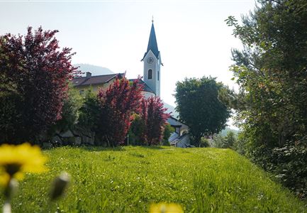
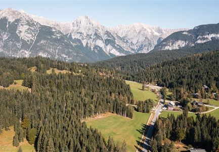
This easy hike starts at the famous Seekirchl in Seefeld, a picturesque landmark and popular photo spot in the region. From here, the trail leads towards the WM-Halle. Just before reaching the hall, there is a short but steep climb past the gym – this is where the forest path begins.

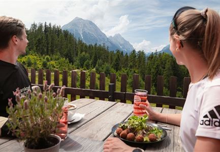
Trail No. 2 winds gently through the peaceful forest for about 1.5 kilometers, then briefly runs parallel to Möserer Straße. At a fork in the path, turn right and continue across the wide Birkenwiesen (birch meadows) towards Mösern, eventually reaching the idyllic Möserer See. Nestled in the rolling landscape of the Seefeld High Plateau, this lake is often adorned with rare water lilies in summer. With water temperatures reaching up to 25°C, Möserer See is one of the warmest natural swimming lakes in Tyrol, making it a wonderful place to relax on warm days. Right by the shore, the Möserer Seestub’n restaurant invites visitors to take a break and enjoy delicious regional specialties – an ideal stop for a relaxed rest.

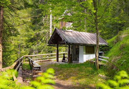
The way back follows Möserer Straße for a short stretch. After passing a small chapel, turn right onto

Features & Characteristics

Start Point

Seefeld Seekirchl

End Point

Seefeld Seekirchl

Family-friendly

Yes

Loop tour

Yes

Similar Tour Suggestions

Familie in der Region Seefeld - Leutascher Ache.jpg

Hiking

Hike along the Achweg

Length

10,80 km

Duration

03:00 h

Uphill

70 hm

Downhill

78 hm

Altitude

1170 hm

Difficulty

Easy

Hofladenrunde Leutasch - Frau vor Wirtseppeler Hof.jpg

Hiking

Leutasch Farm Shop Circular Hike

Length

11,50 km

Duration

03:10 h

Uphill

111 hm

Downhill

108 hm

Altitude

1194 hm

Difficulty

Easy

Friedensglocke im Herbst - Frau steht am Geländer und blickt ins Inntal beim Sonnenuntergang- Sonnenstern an der Glocke.jpg

Hiking

Peace Bell Hiking Trail

Length

4,60 km

Duration

01:30 h

Uphill

92 hm

Downhill

96 hm

Altitude

1292 hm

Difficulty

Easy

Pfarrhuegel-in-Seefeld_WaLogo.jpg

Hiking

Village tour Pfarrhügel, Wildsee & Seekirchl

Length

4,70 km

Duration

01:30 h

Uphill

48 hm

Altitude

1208 hm

Difficulty

Easy

Wildsee im Herbst - Drohnenaufnahme - Blick auf Golfplatz und See mit Bergpanorama.jpg

Hiking

Circular hike from Seefeld to Auland & Reith

Length

9,30 km

Duration

02:45 h

Uphill

139 hm

Downhill

141 hm

Altitude

1199 hm

Difficulty

Easy

Muggenmoosalm bei Leutasch im Sommer - Drohnenaufnahme.jpg

Hiking

Hike to the Muggenmoosalm alpine hut

Length

3,60 km

Duration

01:15 h

Uphill

80 hm

Altitude

1252 hm

Difficulty

Easy

Reith Wiesenweg im Frühling - Drohnenaufnahme strahlend grüne Wiese mit Blick zum Inntal.jpg

Hiking

Circular hiking traill Wiesenweg

Length

4,60 km

Duration

01:30 h

Uphill

109 hm

Altitude

1128 hm

Difficulty

Easy

Herbst am Möserer See - Frau am Ufer (Edit 2).jpg

Hiking

Circular walking path lake Möserer See & Kalvarienberg

Length

3,00 km

Duration

01:00 h

Uphill

78 hm

Downhill

82 hm

Altitude

1291 hm

Difficulty

Easy