Start Point

Naturpark Info Center Scharnitz (P2)

End Point

Naturpark Info Center Scharnitz (P2)

Difficulty

Easy

Total Distance

7,00 km

Descent Meters

40 m

Ascent Meters

40 m

Highest Point

1010 m

Total Time

01:50 h

Map & Elevation Profile

Start Point

Naturpark Info Center Scharnitz (P2)

End Point

Naturpark Info Center Scharnitz (P2)

Difficulty

Easy

Total Distance

7,00 km

Descent Meters

40 m

Ascent Meters

40 m

Highest Point

1010 m

Total Time

01:50 h

Hiking

Best Time

Jan

Feb

Mar

Apr

May

Jun

Jul

Aug

Sep

Oct

Nov

Dec

Hiking tour

Village walks

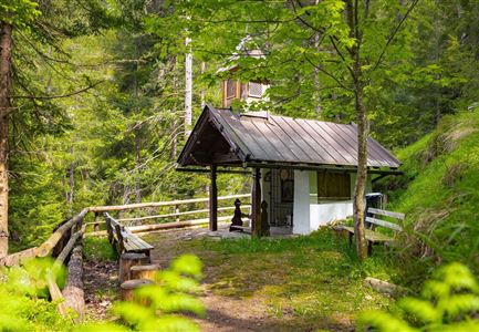
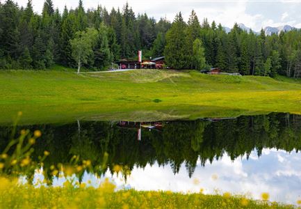
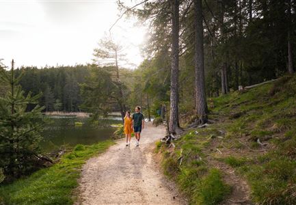
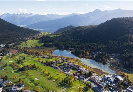
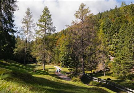
This easy, wheelchair-accessible trail takes you through the idyllic landscape between Scharnitz and Gießenbach. Covering around 7 km, the route runs mostly along the gentle Gießenbach stream, inviting you to pause and enjoy the peaceful atmosphere. The path is flat, wide, and free of hazards throughout.

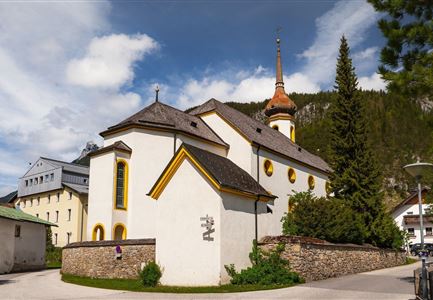
The hike begins at the Nature Park Information Centre in Scharnitz, which is accessible both by car and train. Here you’ll find two disabled parking spaces and an accessible toilet. After a quick stop for information, follow the Isar promenade towards the parish church Maria Hilf, cross the road, and continue into Porta-Claudia-Straße. At the end, turn left onto a gravel path, where the Gießenbach already flows alongside.

After a short section, the gravel path meets an asphalt road. Cross the small bridge and continue again on a gravel track, leading towards Gießenbach. At the edge of the village, you pass under a slightly steeper underpass of the federal highway—however, the path is very wide and the gravel is well compacted. From here, the well-maintained gravel path follows the stream almost all the way.  The tranquillity of the Karwendel valleys and peaks surrounding you makes

Features & Characteristics

Start Point

Naturpark Info Center Scharnitz (P2)

End Point

Naturpark Info Center Scharnitz (P2)

Family-friendly

Yes

Stroller-friendly

Yes
Loop tour

Yes

Similar Tour Suggestions

Wanderung zur Scharnitzer Alm - Scharnitzer Alm mit Tannenzweigen im Vordergrund.jpg

Hiking

Circular hiking trail Scharnitzer alpine hut

Length

5,70 km

Duration

01:30 h

Uphill

130 hm

Altitude

1022 hm

Difficulty

Easy

Reith Wiesenweg im Frühling - Drohnenaufnahme strahlend grüne Wiese mit Blick zum Inntal.jpg

Hiking

Circular hiking traill Wiesenweg

Length

4,60 km

Duration

01:30 h

Uphill

109 hm

Altitude

1128 hm

Difficulty

Easy

Friedensglocke im Herbst - Frau steht am Geländer und blickt ins Inntal beim Sonnenuntergang- Sonnenstern an der Glocke.jpg

Hiking

Peace Bell Hiking Trail

Length

4,60 km

Duration

01:30 h

Uphill

92 hm

Downhill

96 hm

Altitude

1292 hm

Difficulty

Easy

Scharnitz - Wanderung zur Birzlkapelle - Kapelle mit Pausenbank.jpg

Hiking

Hike to the Birzlkapelle chapel

Length

4,60 km

Duration

01:30 h

Uphill

175 hm

Altitude

1130 hm

Difficulty

Easy

Höhenweg Leutasch_Aussichtsplattform Höhenweg.jpg

Hiking

Circular hike to the viewing platform on the Höhenweg - Runst

Length

7,40 km

Duration

02:00 h

Uphill

128 hm

Altitude

1156 hm

Difficulty

Easy

Dorfrundwanderung Leutasch im Sommer--2.jpg

Hiking

Village tour Weidachsee – Leutascher Ache

Length

5,00 km

Duration

01:30 h

Uphill

50 hm

Altitude

1160 hm

Difficulty

Easy

Partially open
Porta Claudia Scharnitz - Tor mit Weg.jpg

Hiking

Circular hiking trail Porta Claudia

Length

2,50 km

Duration

01:00 h

Uphill

125 hm

Downhill

120 hm

Altitude

1085 hm

Difficulty

Easy

Reith - Wanderung Frau Häusl Kapelle - Frau Häusl Kapelle mit Farn im Vordergrund.jpg

Hiking

On the rosary walking trail to the Frau Häusl chapel

Length

1,20 km

Duration

01:15 h

Uphill

100 hm

Altitude

1220 hm

Difficulty

Easy