Start Point

Informationszentrum Seefeld

End Point

Seebensee

Difficulty

Medium

Total Distance

18,10 km

Descent Meters

353 m

Ascent Meters

194 m

Highest Point

1363 m

Total Time

01:45 h

Map & Elevation Profile

Start Point

Informationszentrum Seefeld

End Point

Seebensee

Difficulty

Medium

Total Distance

18,10 km

Descent Meters

353 m

Ascent Meters

194 m

Highest Point

1363 m

Total Time

01:45 h

Cycling

Best Time

Jan

Feb

Mar

Apr

May

Jun

Jul

Aug

Sep

Oct

Nov

Dec

Cycling and mountain biking

Mountainbike tour

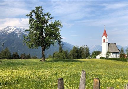
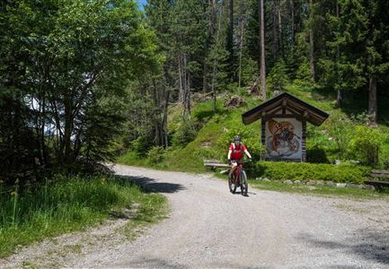
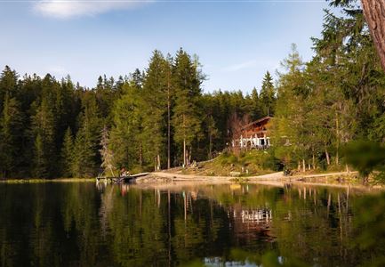
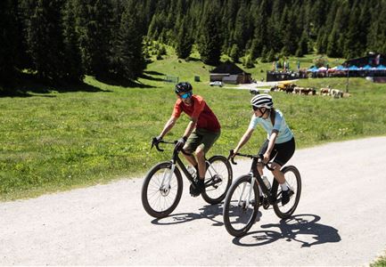
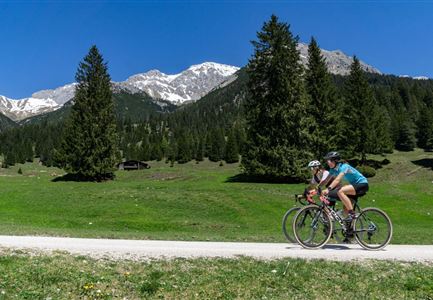
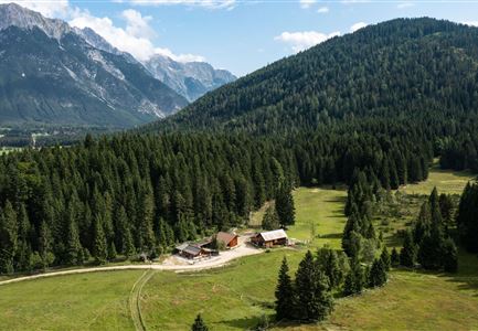
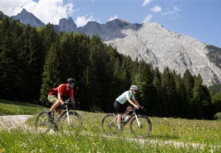
The tour through the Gaistal is a dream for all those who love gravel biking. With just the right mix of fast asphalt, the most beautiful gravel and even more beautiful views, you ride from Seefeld through the picturesque Gaistal, where numerous refreshment stops await connoisseurs.

The start of the gravel bike tour into the Gaistal is at the Seefeld Information Center right next to the train station. From there you cycle out of Seefeld in the direction of Leutasch, cycle a short distance off the road on small paths and finally either on asphalt or gravel off the road through the district of Neuleutasch. Now it goes downhill for a short distance until you arrive in Weidach in Leutasch. Here you keep to the left in a westerly direction and now ride up the sunny valley with the most beautiful views of the Hohe Munde always along the Leutascher Ache. Also on this section you can decide whether you prefer to ride on fast asphalt or in the shady forest on gravel. After a few kilometers, which are only slightly uphill, you continue straight on in the direction of Gaistal. Continue slightly uphill until you reach the entrance

Features & Characteristics

Start Point

Informationszentrum Seefeld

End Point

Seebensee
Similar Tour Suggestions

Gravelbike - Bikeweg im Gaistal.jpg

Cycling

Biketour No. 5047 Gaistal-Hämmermoosalm

Length

3,90 km

Duration

00:45 h

Uphill

171 hm

Downhill

172 hm

Altitude

1417 hm

Difficulty

Medium

Bike-Tour-durchs-Karwendeltal-aufs-Karwendelhaus

Cycling

Biketour No. 595 Karwendeltal-Karwendelhaus

Length

37,00 km

Duration

04:00 h

Uphill

850 hm

Altitude

1771 hm

Difficulty

Medium

Hallerangeralm

Hiking

Bike & Hike Sunntigerspitze Summit, 2,321 m

Length

42,00 km

Duration

09:00 h

Uphill

1396 hm

Altitude

2321 hm

Difficulty

Medium

Bikepark Katzenkopf - Roter Trail

Cycling

Bikepark Katzenkopf - Dirty Dancer Trail

Length

2,10 km

Downhill

229 hm

Altitude

1360 hm

Difficulty

Medium

Reith-Wiesenwegrunde (c) Anna Rieder

Cycling

Biketour No. 5031 Reith-Wiesenweg

Length

4,60 km

Duration

00:35 h

Uphill

109 hm

Downhill

110 hm

Altitude

1129 hm

Difficulty

Medium

Bike Tour durchs Karwendeltal aufs Karwendelhaus - Scharnitz (11).jpg

Cycling

Biketour No. 579 Gleirschtal-Möslalm

Length

22,60 km

Duration

02:30 h

Uphill

392 hm

Altitude

1272 hm

Difficulty

Medium

Bike Tour durchs Karwendeltal aufs Karwendelhaus - Scharnitz (13).jpg

Hiking

Bike & Hike Kristenalm

Length

25,00 km

Duration

04:00 h

Uphill

420 hm

Altitude

1249 hm

Difficulty

Medium

Pfarrkirche im Sommer - Moesern

Cycling

Biketour No. 5068 Mösern-Brunschkopf

Length

8,90 km

Duration

01:00 h

Uphill

281 hm

Altitude

1496 hm

Difficulty

Medium