Start Point

Seefeld parking Gschwandtkopf

End Point

Seefeld parking Gschwandtkopf

Difficulty

Medium

Total Distance

27,20 km

Descent Meters

657 m

Ascent Meters

651 m

Highest Point

1368 m

Total Time

04:00 h

Map & Elevation Profile

Start Point

Seefeld parking Gschwandtkopf

End Point

Seefeld parking Gschwandtkopf

Difficulty

Medium

Total Distance

27,20 km

Descent Meters

657 m

Ascent Meters

651 m

Highest Point

1368 m

Total Time

04:00 h

Cycling

Best Time

Jan

Feb

Mar

Apr

May

Jun

Jul

Aug

Sep

Oct

Nov

Dec

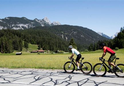
Mountainbike tour

Loop tour

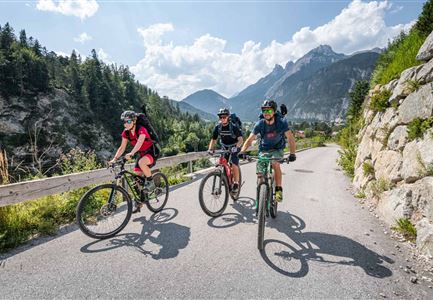
Route: Parking Gschwandtkopf - Möserer See Weg - Plateau Wildmoos - Wildmoosalm - Katzenkopf - Weidach - Fludertal - Wildmoosalm - Mösern

Route description:

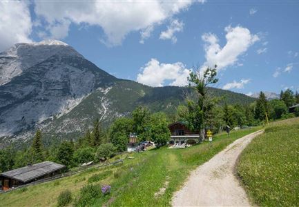
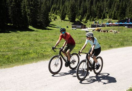
From the Gschwandtkopf car park in Seefeld, a leisurely path leads to path no. 546 just before the Möserer See lake. There you will find the entrance to path no. 544, which leads past three (aperiodic) lakes. The forest path runs with mostly gentle gradients over the plateau of Wildmoos through mostly shady mixed forest. The rustic huts along the way (Möserer Seestub'm, Lottenseehütte, Wildmoosalm) invite you to take a break. At the Wildmoosalm turn onto connecting path no. 5048 and then on path no. 541 (difficult) via Katzenkopf to Weidach. From there take trail no. 541 through the Fludertal back to the Wildmoosalm. From the Wildmoosalm finish the round trail no. 544 and return to Mösern. In Mösern take trail no. 546 back to the starting point.

Note: This cycle path does not lead directly to the Peace Bell. Nevertheless, it is easily possible to make a small diversions and visit the impressive Peace Bell during your cycle tour. We recommend taking this opportunity to plan a

Similar Tour Suggestions

Leutascher Ache im Sommer - Drohnenaufnahme Kurve im Fluss (1).jpg

Cycling

Biketour - Adventure Ride

Length

48,50 km

Duration

05:00 h

Uphill

1071 hm

Altitude

1510 hm

Difficulty

Medium

Wildmoos Buchen Ropferstubm

Cycling

Biketour No. 5067 Salzbach-Ropferstub'm

Length

16,40 km

Duration

02:00 h

Uphill

472 hm

Altitude

1312 hm

Difficulty

Medium

Muggenmoosalm bei Leutasch im Sommer - Drohnenaufnahme.jpg

Cycling

Biketour No. 5048 Muggenmoosalm

Length

14,80 km

Duration

01:45 h

Uphill

326 hm

Downhill

323 hm

Altitude

1370 hm

Difficulty

Medium

Gravelbiker bei der Wildmoosalm im Sommer

Cycling

Biketour No. 547 Wildmoos-Buchen

Length

8,80 km

Duration

00:25 h

Uphill

184 hm

Downhill

183 hm

Altitude

1346 hm

Difficulty

Medium

Partially open
Reith-Wiesenwegrunde (c) Anna Rieder

Cycling

Biketour No. 5031 Reith-Wiesenweg

Length

4,60 km

Duration

00:35 h

Uphill

109 hm

Downhill

110 hm

Altitude

1129 hm

Difficulty

Medium

Radfahrerin beim Sonnenaufgang im Gaistal - 02.jpg

Cycling

Gravelbiketour Gaistal

Length

18,10 km

Duration

01:45 h

Uphill

353 hm

Downhill

194 hm

Altitude

1363 hm

Difficulty

Medium

Partially open
Triendlweg-Bauernwald Gasthaus Triendlsäge (c) Anna Rieder

Cycling

Biketour No. 535 Triendlweg-Bauernwald

Length

8,60 km

Duration

01:10 h

Uphill

217 hm

Altitude

1220 hm

Difficulty

Medium

Gravelbike - Anfahrt zur Gaistalalm

Cycling

Bike Trail Tirol Etappe 06: Ehrwald-Scharnitz

Length

40,00 km

Duration

04:00 h

Uphill

990 hm

Downhill

1020 hm

Altitude

1590 hm

Difficulty

Medium