Start Point
Parking Lot P6 Hoher Sattel
End Point
Bus Stop "Leutasch Burggraben GH Mühle"
Difficulty
Hard
Total Distance
10,30 km
Descent Meters
1313 m
Ascent Meters
1313 m
Highest Point
2196 m
Total Time
08:00 h
Hiking
Best Time
Jan
Feb
Mar
Apr
May
Jun
Jul
Aug
Sep
Oct
Nov
Dec
Hiking tour
Summit hike
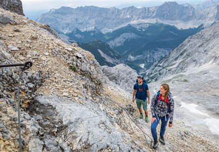
This is a long and challenging hike that requires good fitness and enough time. The trail starts in Ahrn, leading steadily uphill through the forest towards the Hoher Sattel. Once at the top, a narrow path branches off to the right at the hunting lodge.
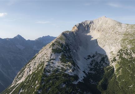
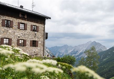
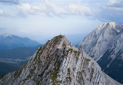
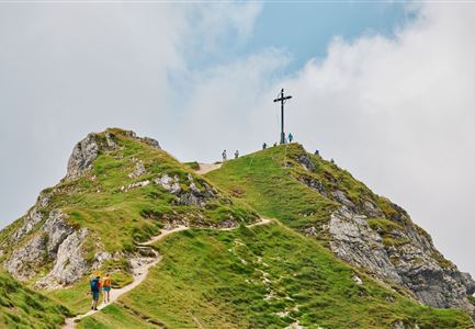
The route continues over the Langer Brand, with a steady climb up to the Arnspitzhütte (not serviced). This is a good spot for a short break before heading to the Große Arnspitze, which is about 50 minutes away. Important: Do not climb the right peak – the rock is unstable and very dangerous.
The descent first leads back to the Arnspitzhütte, but instead of returning to Ahrn, the path turns left towards Achterköpfe and Riedbergscharte. From there, the trail winds through the forest down to Unterleutasch, where the Gasthof Mühle is a great place for a well-earned break.
To get back to Ahrn, take the Bus 431 from the bus stop "Leutasch Burggraben GH Mühle". A long but rewarding tour with diverse landscapes and stunning views.
More hikes around Arnspitze:
- Crossing of the Arnspitzen (for experienced alpinists)
- Hike Arnplattenspitze
- Hike to the Große
Features & Characteristics
Refreshment stops
Start Point
Parking Lot P6 Hoher Sattel
End Point
Bus Stop "Leutasch Burggraben GH Mühle"
