Start Point
Scharnitz Parking P1 "Ried"
End Point
Scharnitz Parking P1 "Ried"
Difficulty
Hard
Total Distance
9,00 km
Descent Meters
1247 m
Ascent Meters
1247 m
Highest Point
2196 m
Total Time
07:30 h
Hiking
Best Time
Jan
Feb
Mar
Apr
May
Jun
Jul
Aug
Sep
Oct
Nov
Dec
Hiking tour
Summit hike
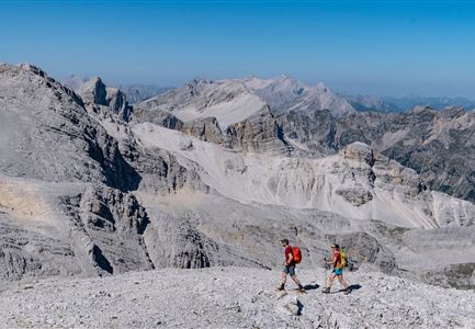
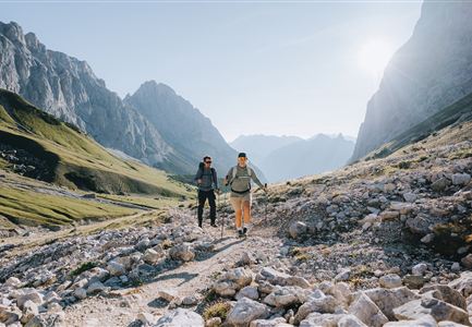
The hike to the Große Arnspitze is challenging and requires sure-footedness, a head for heights, and alpine experience.
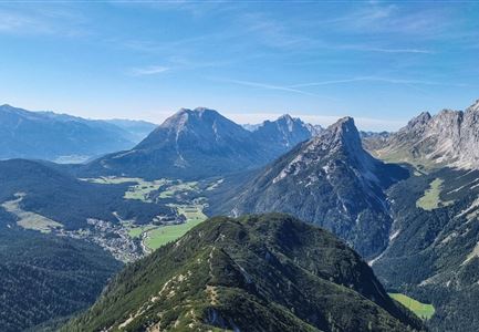
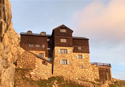
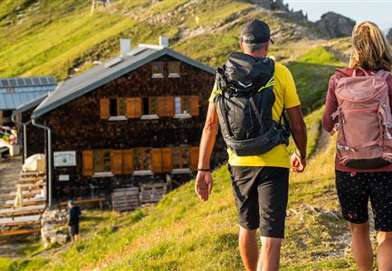
Start at the northern end of Scharnitz and follow the signs towards P1. After the wooden bridge, a forest path continues straight ahead. It's important to follow the signs to avoid getting lost. At the end of the forest path, you'll find a trail that leads up the flank of the Arnsattel. The path climbs steeply into the hollow of the Hasellähne and then continues in switchbacks to the hut.
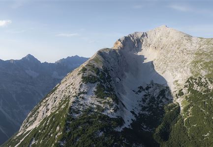
From there, the trail goes right to the fore-summit, which can be reached via steep, rugged terrain. The summit is marked with a summit sign. For the final ascent to the main summit, you have to overcome some climbing sections of difficulty I+, with fixed rings making the passage easier. The descent is on the same route back to the starting point.
More hikes around Große Arnspitze:
- Crossing of the Arnspitzen (for experienced alpinists)
- Hike Arnplattenspitze
- Hike Hoher Sattel - Große Arnpsitze
Features & Characteristics
Start Point
Scharnitz Parking P1 "Ried"
End Point
Scharnitz Parking P1 "Ried"
