Start Point

Scharnitz Parking P1 "Ried"

End Point

Scharnitz Parking P1 "Ried"

Difficulty

Hard

Total Distance

13,00 km

Descent Meters

1368 m

Highest Point

2180 m

Total Time

08:30 h

Map & Elevation Profile

Start Point

Scharnitz Parking P1 "Ried"

End Point

Scharnitz Parking P1 "Ried"

Difficulty

Hard

Total Distance

13,00 km

Descent Meters

1368 m

Highest Point

2180 m

Total Time

08:30 h

Hiking

Best Time

Jan

Feb

Mar

Apr

May

Jun

Jul

Aug

Sep

Oct

Nov

Dec

Hiking tour

Circular hike

From the P1 Riedboden parking lot, located idyllically at the northern edge of Scharnitz, an exciting and varied hike begins, perfect for adventurers and nature lovers alike. The trail first leads towards Mittenwald. At the first junction, keep right and, after a short distance, turn right again. Cross the Isar bridge and head towards the main road, which you cross slightly to the right near the railway crossing.

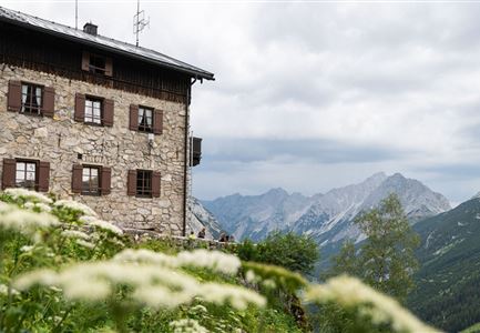
Beyond the tracks, a forest path begins, gently climbing towards Mittenwald. At a marked junction, turn right, and then immediately left, following the signs to the Brunnsteinhütte (1,560 m). This first stage rewards you with a cozy rest spot and beautiful views.

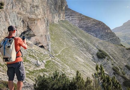
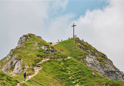
The trail continues via the Brunnsteinsteig, winding through countless switchbacks, dense mountain pine forests, and eventually rocky terrain, leading to the Tiroler Hütte at 2,153 meters. Though the hut is not serviced, it offers spectacular views and is an ideal spot to pause and enjoy the surroundings.

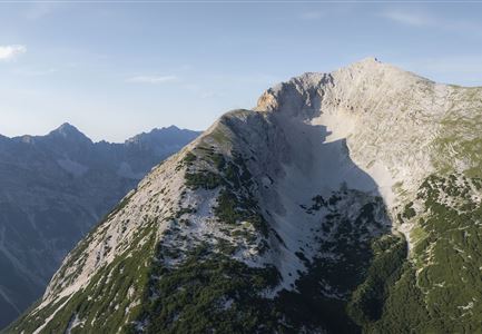
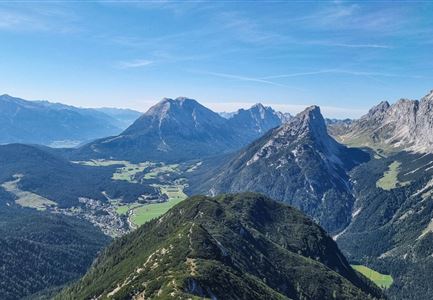
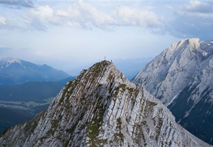
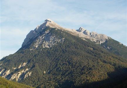
From there, continue right to the Rotwandlspitze, which also marks a border stone, and then proceed to the Brunnsteinspitze. The summit rewards your effort with breathtaking views over Scharnitz and Mittenwald, inviting you to linger and soak in the scenery.

The

Features & Characteristics

Similar Tour Suggestions

Wangalm im Wettersteingebirge

Hiking

Bike & Hike Gehrenspitze Summit, 2,367 m

Length

21,00 km

Duration

07:00 h

Uphill

1150 hm

Altitude

2367 hm

Difficulty

Hard

Karwendelmarsch 2018 (13).jpg

Hiking

Karwendel March 35 km

Length

35,00 km

Duration

12:30 h

Uphill

1664 hm

Downhill

1358 hm

Altitude

1843 hm

Difficulty

Hard

Gravelbike - Zum Isarursprung.jpg

Hiking

Bike & Hike Hoher Gleirsch Summit, 2,492 m

Length

31,00 km

Duration

09:30 h

Uphill

1772 hm

Altitude

2492 hm

Difficulty

Hard

Nördlinger Hütte - Hütte mit Blick ins Inntal Richtung Süden (1).jpg

Hiking

Circular hike via Eppzirler Alm and Nördlinger hut to Seefeld

Length

20,40 km

Duration

10:00 h

Uphill

1464 hm

Altitude

2231 hm

Difficulty

Hard

Wanderer auf der Seefelder Spitze ueber Seefeld

Hiking

Bike & Hike Seefelder Spitze Summit, 2,220 m

Length

13,00 km

Duration

04:30 h

Uphill

1094 hm

Altitude

2220 hm

Difficulty

Hard

Falkenhütte neu

Hiking

Karwendelmarsch 52 km

Length

52,00 km

Duration

19:00 h

Uphill

2281 hm

Downhill

2217 hm

Altitude

1903 hm

Difficulty

Hard

Durchs Karwendeltal aufs Karwendelhaus - Scharnitz

Hiking

Hike to the Karwendelhaus

Length

36,00 km

Duration

11:15 h

Uphill

839 hm

Altitude

1765 hm

Difficulty

Hard

Drohnenaufnahme Pleisenspitze im Sommer.jpg

Hiking

Hike to the Pleisenspitze Summit, 2,569 m

Length

20,10 km

Duration

10:30 h

Uphill

1600 hm

Altitude

2569 hm

Difficulty

Hard