We use cookies for your personalized browsing experience, to personalize content and ads, to provide social media features, and to analyze traffic to our website. We also share information about your use of our website with our social media, advertising and analytics partners. Our partners may combine this information with other data that you have provided to them or that they have collected as part of your use of the Services. (incl. US providers)

Start Point

Information Office Mösern

End Point

Information Office Mösern

Difficulty

Easy

Total Distance

4,60 km

Descent Meters

92 m

Ascent Meters

96 m

Highest Point

1292 m

Total Time

01:30 h

Map & Elevation Profile

Start Point

Information Office Mösern

End Point

Information Office Mösern

Difficulty

Easy

Total Distance

4,60 km

Descent Meters

92 m

Ascent Meters

96 m

Highest Point

1292 m

Total Time

01:30 h

Hiking

Best Time

Jan

Feb

Mar

Apr

May

Jun

Jul

Aug

Sep

Oct

Nov

Dec

Hiking tour

Thematic route

+4

With an impressive weight of 10,450 kilograms and a clapper of 303 kilograms, this newly crafted bell was cast by the skilled artisans of the Grassmayr bell foundry on behalf of the Municipality of Telfs and the Tourism Association of the Seefeld Region. It displays the coats of arms of all the ARGE ALP countries and bears an inscription commemorating the founding of the 'Working Community of Alpine Countries' in 1972. The Peace Bell in Mösern is the largest free-standing bell in the Alpine region.

In Mösern, visitors have the unique opportunity to experience this fascinating bell up close. The roughly 90-minute Peace Trail leads directly to the new viewing platform and offers an impressive experience. It is especially worthwhile to be there at 17.00 to witness the powerful ringing live.

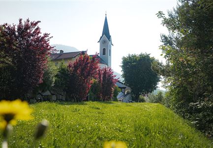
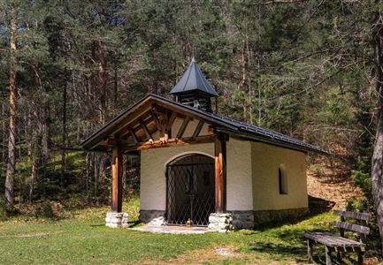
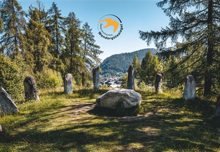
The peaceful Peace Trail starts at the Mösern Information Office and leads through seven spiritual stations around the lake Möserer See, ending at the Peace Bell. The trail begins at the station ‘Setting Out’ at the Mösern Information Office, passing a 300-year-old mountain farmhouse with a local

Read More...

Similar Tour Suggestions

Reith im Frühling bei Morgenstimmung - Drohnenaufnahme Kirche mit Blick ins Inntal.jpg

Hiking

Cultural circular walking path Reith

Length

4,57 km

Duration

01:30 h

Uphill

113 hm

Altitude

1126 hm

Difficulty

Easy

Scharnitz - Wanderung zur Adlerkanzel - Blick auf die Isar.jpg

Hiking

Circular village walk Scharnitz - Gießenbach

Length

6,10 km

Duration

01:30 h

Uphill

42 hm

Altitude

1013 hm

Difficulty

Easy

Hallerangeralm

Hiking

Bike & Hike Sunntigerspitze Summit, 2,321 m

Length

42,00 km

Duration

09:00 h

Uphill

1396 hm

Altitude

2321 hm

Difficulty

Medium

Blick ueber Wildmoos nach Seefeld.jpg

Hiking

Circular tour around the Brunschkopf

Length

13,10 km

Duration

04:00 h

Uphill

275 hm

Downhill

272 hm

Altitude

1369 hm

Difficulty

Easy

Kurblhang - Leutasch (2).jpg

Hiking

Circular hiking trail viewpoint Kurblhang

Length

3,50 km

Duration

01:30 h

Uphill

181 hm

Altitude

1277 hm

Difficulty

Medium

Meilerhütte

Hiking

Hike to the Meilerhütte alpine hut

Length

13,00 km

Duration

09:00 h

Uphill

1352 hm

Downhill

36 hm

Altitude

2371 hm

Difficulty

Medium

kinder_bei_infotafel_in_der_geisterklamm.jpg

Hiking

Short Gorge Trail

Length

500 m

Duration

00:15 h

Uphill

10 hm

Altitude

1027 hm

Difficulty

Easy

Blick auf Gschwandtkopf Seefeld

Hiking

Round the Gschwandtkopf Hill (Circular Walk)

Length

10,60 km

Duration

03:30 h

Uphill

226 hm

Downhill

220 hm

Altitude

1344 hm

Difficulty

Easy