Start Point

Seefeld Railway Station

End Point

Seefeld Railway Station

Difficulty

Easy

Total Distance

16,70 km

Descent Meters

266 m

Ascent Meters

267 m

Total Time

05:00 h

Status

Open

Map & Elevation Profile

Start Point

Seefeld Railway Station

End Point

Seefeld Railway Station

Difficulty

Easy

Total Distance

16,70 km

Descent Meters

266 m

Ascent Meters

267 m

Total Time

05:00 h

Status

Open

Hiking

Best Time

Open

Jan

Feb

Mar

Apr

May

Jun

Jul

Aug

Sep

Oct

Nov

Dec

Winter walking

Multiday hike

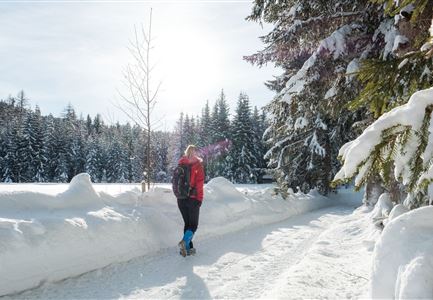
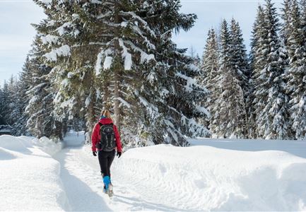
This is a cleared winter hiking trail. However, icy or slippery spots may still occur.

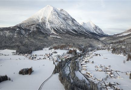
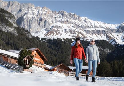
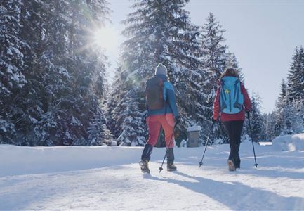
Wildsee, Bee Trail, Arena365 and Seekirchl. The first stage of the Seefeld High Plateau Winter Multi-day Hike takes you to the pretty mountain village of Reith and back with many natural highlights to see along the way.

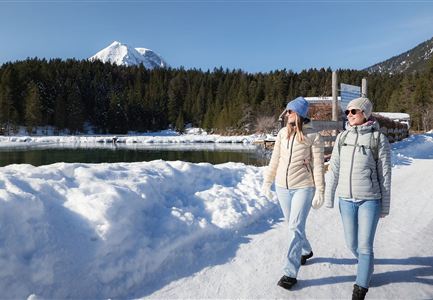
The first stage starts right in the heart of Seefeld. While it's a good idea to arrive a day or two prior to beginning your 5-day adventure, you can of course simply turn up early and set off straight away on day one. The starting point is the Seefeld train station from where you head into the village centre. From Seefeld railway station, walk along Bahnhofstraße towards the village square, where the Gothic St. Oswald Parish Church is located. Once you reach the village square, turn left towards Innsbruckerstraße and follow it down to the idyllic Wildsee lake. Follow Innsbrucker Str. and the scenic lake promenade which is especially charming in winter.

Go past the Strandperle heading towards Reith. Cross the road and go over the level crossing, follow the road for a few hundred metres and turn right at the next junction. The path leads

Features & Characteristics

Start Point

Seefeld Railway Station

End Point

Seefeld Railway Station

Multiday hike

Yes

Loop tour

Yes

Similar Tour Suggestions

Winterwandern in der Region Seefeld_Drohnenaufnahme_Mann und Frau laufen entlang des Ufers des Wildsees (1).jpg

Hiking

W7: Winter circular hike Reith - Seefeld - Reith

Length

8,70 km

Duration

02:30 h

Uphill

118 hm

Downhill

121 hm

Altitude

1200 hm

Difficulty

Easy

Open
27.11.2021 - Stadl in Moesern bei Neuschnee - Wanderweg von Seefeld nach Moesern.jpg

Hiking

W31: Winter hike Mösern-Seefeld

Length

7,20 km

Duration

02:15 h

Uphill

148 hm

Downhill

142 hm

Altitude

1268 hm

Difficulty

Easy

Open
Leutasch - Winterwanderweg 15 Katzenloch-3.jpg

Hiking

Stage 2: From Scharnitz to Seefeld – Seefeld High Plateau Winter Multi-day Hike

Length

12,00 km

Duration

03:30 h

Uphill

270 hm

Downhill

50 hm

Altitude

1180 hm

Difficulty

Easy

Open
Eisfischen am Weidachsee - Leutasch-31.jpg

Hiking

W9: Winter circular hike around Weidachsee lake

Length

3,80 km

Duration

01:00 h

Uphill

46 hm

Altitude

1156 hm

Difficulty

Easy

Open
Winterwandern in Scharnitz_zwei Frauen laufen am Weg_Karwendel in der Distanz.jpg

Hiking

W22: Winter Hike from Scharnitz to Gießenbach

Length

7,80 km

Duration

02:00 h

Uphill

40 hm

Altitude

1010 hm

Difficulty

Easy

Open
100000 Lichter-Weg Seefeld_Paar steht auf Pfarrhügel_Reither Spitze in der Distanz.jpg

Hiking

100.000 Lights Path

Length

1,70 km

Duration

00:30 h

Uphill

30 hm

Downhill

39 hm

Altitude

1206 hm

Difficulty

Easy

Closed
Winterwandern Paar Möserer See Drohnenaufnahme Paar steht am Steg mit Möserer Seestube und Reither Spitze im Hintergrund (1).jpg

Hiking

Stage 5: From Seefeld to Mösern and back to Seefeld via Wildmoos - Seefeld High Plateau Winter Multi-day Hike

Length

14,49 km

Duration

04:15 h

Uphill

247 hm

Downhill

246 hm

Altitude

1345 hm

Difficulty

Easy

Open
drohnenaufnahme_neuschnee_27.11._leutasch_blick_richtung_hohe_munde_1.jpg

Hiking

W10: Winter hike through the Leutasch Valley

Length

26,40 km

Duration

07:00 h

Uphill

173 hm

Downhill

177 hm

Altitude

1179 hm

Difficulty

Easy

Open