Start Point

Naturpark Info Center Scharnitz (P2)

End Point

Naturpark Info Center Scharnitz (P2)

Difficulty

Easy

Total Distance

5,70 km

Descent Meters

130 m

Highest Point

1022 m

Total Time

01:30 h

Map & Elevation Profile

Start Point

Naturpark Info Center Scharnitz (P2)

End Point

Naturpark Info Center Scharnitz (P2)

Difficulty

Easy

Total Distance

5,70 km

Descent Meters

130 m

Highest Point

1022 m

Total Time

01:30 h

Hiking

Best Time

Jan

Feb

Mar

Apr

May

Jun

Jul

Aug

Sep

Oct

Nov

Dec

Hiking tour

Circular hike

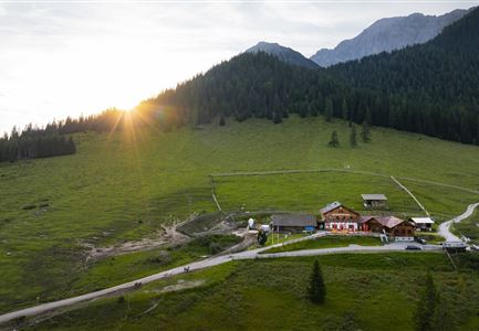
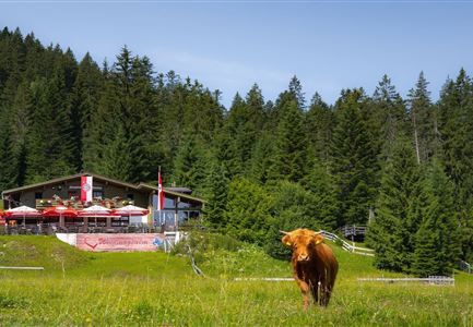
From the Nature Park Info Center in Scharnitz (P2), the trail begins along the Hinterautalstraße. A small incline is part of the route, passing the Taxi Mair house, until reaching the turnoff on the right that leads to the Isarsteig. This narrow path winds through nature and ends at the forest road, which is followed to the right. After passing the Kneipp facility, the trail continues to the left along the Nederweg, which leads directly to the Scharnitzer Alm. This charming alpine hut is perfect for a break, offering a cozy atmosphere and a chance to recharge with some refreshments.

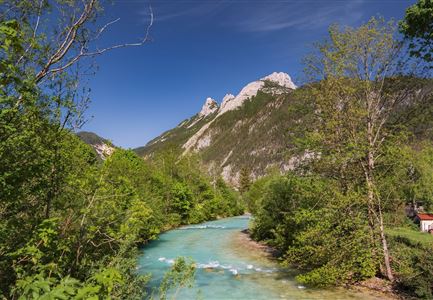
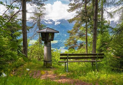
From there, the route continues deeper into the valley to the turnoff for the Isarlodge Wiesenhof. A small bridge crosses the crystal-clear Isar to the other side. The trail then leads across a meadow and a short stretch of private road uphill before joining the main road. The road heads left back toward Scharnitz. Shortly after the first houses, a chapel marks the turnoff to the right. Following the path along the Isar, the route eventually returns to the Nature Park Info Center

Features & Characteristics

Start Point

Naturpark Info Center Scharnitz (P2)

End Point

Naturpark Info Center Scharnitz (P2)

Family-friendly

Yes

Loop tour

Yes

Similar Tour Suggestions

Familie in der Region Seefeld - Leutascher Ache.jpg

Hiking

Hike along the Achweg

Length

10,80 km

Duration

03:00 h

Uphill

70 hm

Downhill

78 hm

Altitude

1170 hm

Difficulty

Easy

Fischerrei am Weidachsee - Leutasch

Hiking

Circular walk around Weidachsee lake

Length

3,80 km

Duration

01:00 h

Uphill

46 hm

Altitude

1156 hm

Difficulty

Easy

Wettersteingebirge und Leutasch im Sommer - Drohnenaufnahme von der Muggenmoosalm.jpg

Hiking

Hike Schlagweg-Rauthgatter-Wildmoos

Length

11,50 km

Duration

03:30 h

Uphill

220 hm

Altitude

1345 hm

Difficulty

Easy

kinder_bei_infotafel_in_der_geisterklamm.jpg

Hiking

Short circular trail at the Spirit Gorge

Length

500 m

Duration

00:15 h

Uphill

10 hm

Altitude

1027 hm

Difficulty

Easy

Familie in der Region Seefeld - Spielen am Fluss - Leutascher Ache.jpg

Hiking

Hike to Unterleutasch Along the Achweg

Length

9,10 km

Duration

02:30 h

Uphill

3 hm

Downhill

77 hm

Altitude

1174 hm

Difficulty

Easy

Reith Wiesenweg im Frühling - Drohnenaufnahme strahlend grüne Wiese mit Blick zum Inntal.jpg

Hiking

Circular hiking traill Wiesenweg

Length

4,60 km

Duration

01:30 h

Uphill

109 hm

Altitude

1128 hm

Difficulty

Easy

Hofladenrunde Leutasch - Frau vor Wirtseppeler Hof.jpg

Hiking

Leutasch Farm Shop Circular Hike

Length

11,50 km

Duration

03:10 h

Uphill

111 hm

Downhill

108 hm

Altitude

1194 hm

Difficulty

Easy

Drohnenfoto von Neuleutasch mit Blick Richtung Leutasch.jpg

Hiking

Hike from Leutasch to Seefeld

Length

4,60 km

Duration

01:30 h

Uphill

118 hm

Downhill

83 hm

Altitude

1225 hm

Difficulty

Easy