Start Point

Seekirchl Seefeld

End Point

Seekirchl Seefeld

Difficulty

Easy

Total Distance

6,2 km

Descent Meters

51 m

Ascent Meters

51 m

Highest Point

1234 m

Total Time

02:00 h

Status

Open

Start Point

Seekirchl Seefeld

End Point

Seekirchl Seefeld

Difficulty

Easy

Total Distance

6,2 km

Descent Meters

51 m

Ascent Meters

51 m

Highest Point

1234 m

Total Time

02:00 h

Status

Open

Hiking

Best Time

Open

Jan

Feb

Mar

Apr

May

Jun

Jul

Aug

Sep

Oct

Nov

Dec

Winter walking

Route: Seekirchl - Kirchwald - Möserer Mähder - Seewaldalm - Möserer Mähder - Kirchwald - Seekirchl

Parking and public transport:

P13 and numerous other parking options.

The fastest public connection to the starting point can be found directly in our route planner.

By train to Seefeld train station (10 minutes walk to the starting point).

Find all connections in real time with the Mobility-App "wegfinder".

Directions:

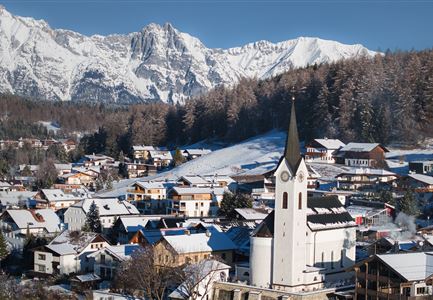
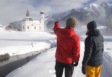
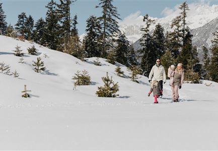
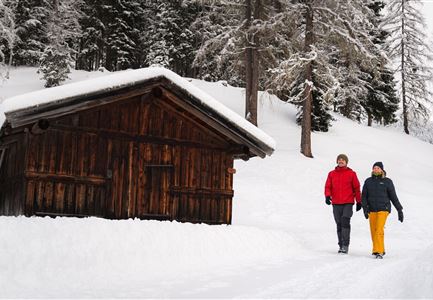
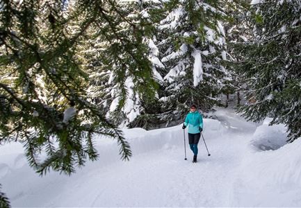
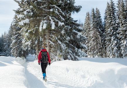
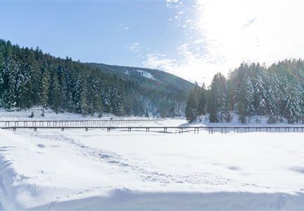
This beautiful winter forest hike leads from the famous Seefelder Seekirchl over the southern flank of the Brunschkopf to the Seewaldalm near Mösern. From the starting point at the Seekirchl it goes along the main road in the direction of Mösern until the signposted hiking trail leads into the Kirchwald near the tennis courts. Follow this path parallel to the Möserer Bundesstraße through the snowy landscape, carefully crossing the cross-country ski runs and finally trudging through the picturesque Möserer Mähder to the Seewaldalm.


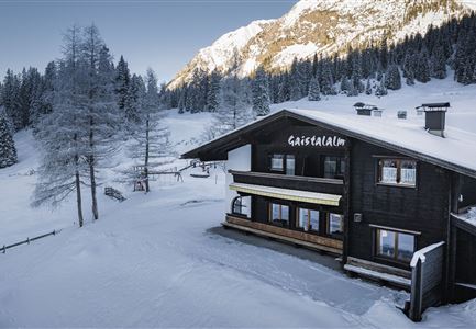
At the cozy ski hut you can have a delicious stop and can enjoy the winter sun on the terrace. Afterwards you can continue your hike from the Seealdalm to Mösern, where you can enjoy the winterly view of the valley, and then hike back to

Read More...

Features & Characteristics

Start Point

Seekirchl Seefeld

End Point

Seekirchl Seefeld

Map & Elevation Profile

Similar Tour Suggestions

Hiking

W15: Winter circular hike through the Katzenloch

Length

7,1 km

Duration

02:30 h

Uphill

142 hm

Altitude

1280 hm

Difficulty

Easy

Open

Hiking

W31: Winter hike Mösern-Seefeld (No. 2)

Length

6,6 km

Duration

02:15 h

Uphill

134 hm

Altitude

1237 hm

Difficulty

Easy

Open

Hiking

W7: Winter circular hike Reith - Seefeld - Reith

Length

8,9 km

Duration

02:30 h

Uphill

122 hm

Altitude

1199 hm

Difficulty

Easy

Open

Hiking

Route S3: Hohe Fluder

Length

8,3 km

Duration

04:00 h

Uphill

506 hm

Altitude

1628 hm

Difficulty

Medium

Sledding

Toboggan run Rauthhütte

Length

2,5 km

Duration

01:30 h

Downhill

420 hm

Difficulty

Hard

Closed

Hiking

W10: Winter hike through the Leutasch Valley

Length

13,2 km

Duration

03:45 h

Uphill

13 hm

Altitude

1174 hm

Difficulty

Easy

Open

Hiking

Route S7: To Chapel Birzlkapelle

Length

5,0 km

Duration

02:00 h

Uphill

162 hm

Altitude

1129 hm

Difficulty

Medium

Hiking

Long distance hiking in snow section 4

Length

9,5 km

Duration

03:30 h

Uphill

25 hm

Altitude

1717 hm

Difficulty

Medium

Closed