Start Point

Music Pavilion Weidach (P15)

End Point

Infocenter Seefeld

Difficulty

Easy

Total Distance

6,60 km

Descent Meters

164 m

Highest Point

1225 m

Total Time

02:15 h

Status

Open

Map & Elevation Profile

Start Point

Music Pavilion Weidach (P15)

End Point

Infocenter Seefeld

Difficulty

Easy

Total Distance

6,60 km

Descent Meters

164 m

Highest Point

1225 m

Total Time

02:15 h

Status

Open

Hiking

Best Time

Open

Jan

Feb

Mar

Apr

May

Jun

Jul

Aug

Sep

Oct

Nov

Dec

Winter walking

Family-friendly

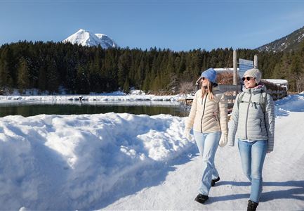
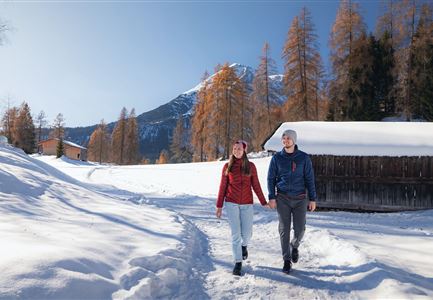
This is a cleared winter hiking trail. However, icy or slippery spots may still occur.

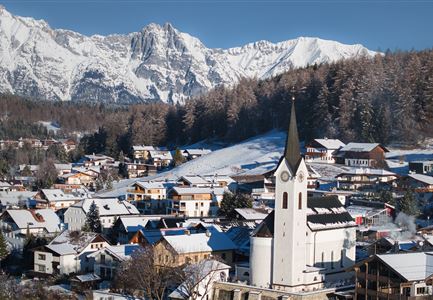
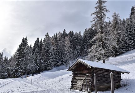
Even in winter the two villages Seefeld and Leutasch are connected by beautiful hiking trails. Those who start from Leutasch start at the (chargeable) car park near the music pavilion. Alternatively, you can take the regional bus to the Weidach Zentrum bus stop and from there to the valley station at the Katzenkopf. The hiking trail to the edge of the forest already starts to the left.

After a short passage through the woods, the trail follows the main road for a while, which you cross on the left at the next junction in the road, and then immediately turn right onto the signposted hiking trail to Seefeld. Cross the main road again at the Mahder Chapel and continue along the gravel path next to it via Neuleutasch to Unterkelle. Turn left again into the forest and follow the signs to the Triendlsäge country inn.

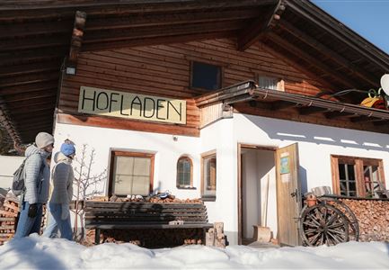
After a culinary detour into the traditional Tyrolean cuisine (freshly caught trout!), walk across the car park opposite the inn and take a forest loop onto the spa road. Follow this road uphill to the main road. Then

Features & Characteristics

Start Point

Music Pavilion Weidach (P15)

End Point

Infocenter Seefeld

Family-friendly

Yes
Similar Tour Suggestions

drohnenaufnahme_neuschnee_27.11._leutasch_blick_richtung_hohe_munde_1.jpg

Hiking

W10: Winter hike through the Leutasch Valley

Length

26,40 km

Duration

07:00 h

Uphill

173 hm

Downhill

177 hm

Altitude

1179 hm

Difficulty

Easy

Open
100000 Lichter-Weg Seefeld_Paar steht auf Pfarrhügel_Reither Spitze in der Distanz.jpg

Hiking

100.000 Lights Path

Length

1,70 km

Duration

00:30 h

Uphill

30 hm

Downhill

39 hm

Altitude

1206 hm

Difficulty

Easy

Closed
Winterwandern im Gaistal_zwei Frauen laufen von der Hämmermoosalm weg.jpg

Hiking

W11: Winter hike to the Hämmermoosalm

Length

4,00 km

Duration

02:00 h

Uphill

173 hm

Downhill

171 hm

Altitude

1410 hm

Difficulty

Easy

Open
Winterwandern in der Region Seefeld_Mann und Frau laufen neben kleiner Holzhütte im Fludertal.jpg

Hiking

W19: Winter hike Wildmoosalm - Fludertal

Length

16,20 km

Duration

05:00 h

Uphill

368 hm

Downhill

361 hm

Altitude

1335 hm

Difficulty

Easy

Open
Leutasch - Winterwanderweg 15 Katzenloch-4.jpg

Hiking

W15: Winter circular hike through the Katzenloch

Length

7,10 km

Duration

02:30 h

Uphill

142 hm

Altitude

1280 hm

Difficulty

Easy

Open
Gaistalalm im Winter - Drohnennahaufnahme von der Seite mit Wettersteingebirge (2).jpg

Hiking

W12: Winter hike to the Gaistalalm

Length

8,20 km

Duration

02:30 h

Uphill

182 hm

Altitude

1366 hm

Difficulty

Easy

Open
Luftaufnahme Wildsee im Winter - Seefeld.jpg

Hiking

W5: Winter Circular Hike Wildsee, Pfarrhügel & Seekirchl

Length

4,70 km

Duration

01:15 h

Uphill

22 hm

Altitude

1181 hm

Difficulty

Easy

Open
winterwandern_paar_oberer_wiesenweg_paar_von_vorne_mit_huette.jpg

Hiking

Stage 3: From Burggraben through the Leutasch valley to Weidach - Seefeld High Plateau Winter Multi-day Hike

Length

14,20 km

Duration

04:00 h

Uphill

144 hm

Downhill

57 hm

Altitude

1162 hm

Difficulty

Easy

Open