Start Point

Scharnitz Parking P1 "Ried"

End Point

Scharnitz Parking P1 "Ried"
Difficulty

Medium

Total Distance

10,00 km

Descent Meters

668 m

Ascent Meters

668 m

Highest Point

1523 m

Total Time

04:30 h

Map & Elevation Profile

Start Point

Scharnitz Parking P1 "Ried"

End Point

Scharnitz Parking P1 "Ried"
Difficulty

Medium

Total Distance

10,00 km

Descent Meters

668 m

Ascent Meters

668 m

Highest Point

1523 m

Total Time

04:30 h

Hiking

Best Time

Jan

Feb

Mar

Apr

May

Jun

Jul

Aug

Sep

Oct

Nov

Dec

Hiking tour

Hut hike

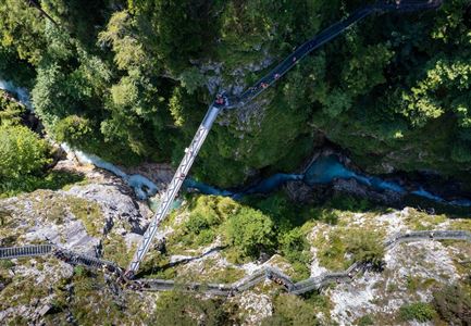
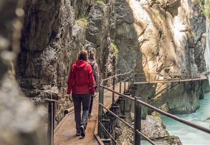
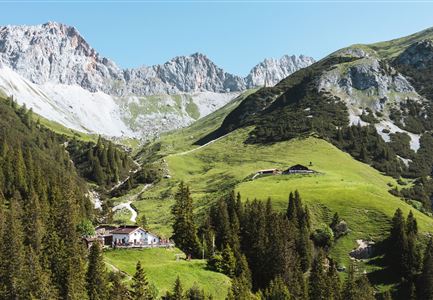
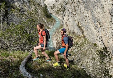
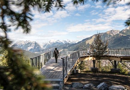
Starting at P1 Ried, head towards Mittenwald. Take the first right turn. Shortly after, take another right and cross the Isar bridge until you reach the B2 federal road. Cross this road slightly to the right towards the railroad crossing. Cross the tracks and follow a forest path towards Mittenwald. At the next junction, turn right and then immediately left. A well-marked path will lead you directly to the Brunnsteinhütte (1,560 m). Once you reach the second bench, take a short detour to the left and visit the suspension bridge over the Sulzleklamm gorge. Descend on the same route as the ascent.

Features & Characteristics

Start Point

Scharnitz Parking P1 "Ried"

End Point

Scharnitz Parking P1 "Ried"
Similar Tour Suggestions

Brunschkopf während der Goldenen Stunde.jpg

Hiking

Viewpoint Brunschkopf via forest road from Mösern

Length

9,10 km

Duration

03:00 h

Uphill

279 hm

Downhill

272 hm

Altitude

1496 hm

Difficulty

Medium

Scharnitz - Wanderung zur Adlerkanzel - Adlerkanzel mit Ausblick auf Scharnitz.jpg

Hiking

Hike to the viewpoint Adlerkanzel (Eagle's pulpit)

Length

2,80 km

Duration

01:30 h

Uphill

230 hm

Altitude

1145 hm

Difficulty

Medium

Hölzernes Herz am Mühlberg in Scharnitz - Perspektive durch Gebüsch (1).jpg

Hiking

Hike to the Mühlberg Scharnitz

Length

6,50 km

Duration

02:30 h

Uphill

334 hm

Downhill

328 hm

Altitude

1315 hm

Difficulty

Medium

Aussichtsplattform Kurblhang - Leutasch.jpg

Hiking

Circular hiking trail viewpoint Kurblhang

Length

3,50 km

Duration

01:30 h

Uphill

181 hm

Altitude

1277 hm

Difficulty

Medium

Schlossbachklamm mit Bahnstrecke - Reith.jpg

Hiking

Hike through the Schlossbachklamm Gorge

Length

12,20 km

Duration

04:30 h

Uphill

488 hm

Downhill

482 hm

Altitude

1129 hm

Difficulty

Medium

Sonnenuntergang von der Rosshütte - Blick auf Bergbahn mit durch Wolken blitzende Sonne .jpg

Hiking

Geological Nature Trail 'Hermannstal'

Length

9,00 km

Duration

02:00 h

Uphill

573 hm

Altitude

1750 hm

Difficulty

Medium

Seefelder Spitze im Sonnenuntergang

Hiking

Hiking to the Seefelder Spitze, 2,221 m and Seefelder Joch 2,060 m

Length

7,40 km

Duration

04:30 h

Uphill

1010 hm

Downhill

167 hm

Altitude

2221 hm

Difficulty

Medium

Drohnenaufnahme Gschwandtkopf Speichersee - Person läuft entlang des Speichersees mit Hohe Munde im Hintergrund (3).jpg

Hiking

Hike on the Gschwandtkopf mountain

Length

11,60 km

Duration

03:30 h

Uphill

297 hm

Altitude

1485 hm

Difficulty

Medium