Start Point

Seefeld Seekirchl

End Point

Seefeld Seekirchl

Difficulty

Easy

Total Distance

3,10 km

Descent Meters

10 m

Ascent Meters

10 m

Highest Point

1197 m

Total Time

01:00 h

Status

Open

Map & Elevation Profile

Start Point

Seefeld Seekirchl

End Point

Seefeld Seekirchl

Difficulty

Easy

Total Distance

3,10 km

Descent Meters

10 m

Ascent Meters

10 m

Highest Point

1197 m

Total Time

01:00 h

Status

Open

Hiking

Best Time

Open

Jan

Feb

Mar

Apr

May

Jun

Jul

Aug

Sep

Oct

Nov

Dec

Winter walking

Family-friendly

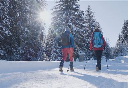
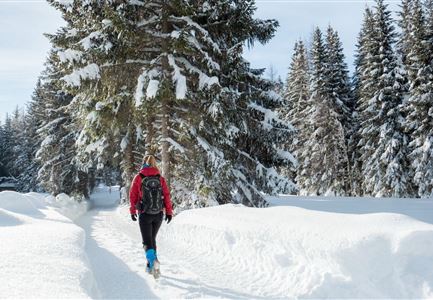
This is a cleared winter hiking trail. However, icy or slippery spots may still occur.

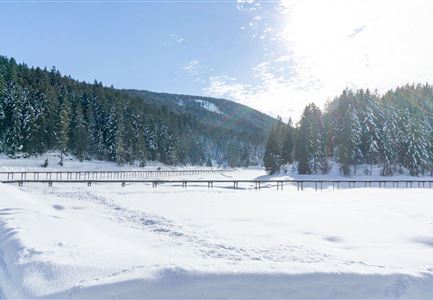
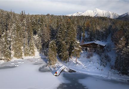
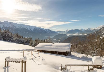
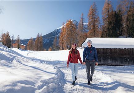
This idyllic little loop through the Möserer Valley takes you through snowy winter landscapes and past the Seefeld Sports Arena, with no significant inclines.

Starting at the Seekirchl, follow the path to the main road, then continue to the tennis hall, where trail no. 2 leads through the snow-covered Kirchwald. Along the way, you’ll cross a cross-country skiing trail—please give priority to skiers. Right after crossing the trail, the path leads back to the main road, which you’ll cross to reach the Seewald on the other side of the valley.

Follow trail no. 4, which curves to the left, passing the ski jumps and competition facilities of the Seefeld Sports Arena, until you reach the Sportalm at the foot of the Gschwandtkopf. A short detour to the viewing platform at the WSC-Tower is worth it—here, a high-quality Swarovski binocular brings the glittering mountain landscapes almost within reach.

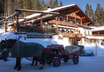
At the cozy Sportalm, it's a good idea to take a break on the sunny

Features & Characteristics

Start Point

Seefeld Seekirchl

End Point

Seefeld Seekirchl

Family-friendly

Yes

Stroller-friendly

Yes
Loop tour

Yes

Similar Tour Suggestions

Drohnenaufnahme Reith im Winter - Kirche reingezoomt mit Wettersteingebirge im Hintergrund.jpg

Hiking

W34: Winter circular hike "culture path" Reith

Length

4,50 km

Duration

01:30 h

Uphill

116 hm

Downhill

117 hm

Altitude

1128 hm

Difficulty

Easy

Open
Winterwandern Paar Friedensglocke Drohnen Nahaufnahme Paar steht am Geländer Blick ins Inntal (1).jpg

Hiking

W30: Winter hiking "Path of Peace"

Length

4,60 km

Duration

01:30 h

Uphill

92 hm

Downhill

96 hm

Altitude

1292 hm

Difficulty

Easy

Open
Leutasch - Winterwanderweg 15 Katzenloch-4.jpg

Hiking

W15: Winter circular hike through the Katzenloch

Length

7,10 km

Duration

02:30 h

Uphill

142 hm

Altitude

1280 hm

Difficulty

Easy

Open
Winterwandern in der Region Seefeld_Mann und Frau laufen wandern im Wildmoos_Aufnahme von hinten mit verschneiten Ästen im Vordergrund (1).jpg

Hiking

W28: Winter Circular Hike Mösern-Wildmoosalm-Lottenseehütte

Length

11,00 km

Duration

03:15 h

Uphill

221 hm

Downhill

222 hm

Altitude

1366 hm

Difficulty

Easy

Open
Winterspatziergang mit Kindern - Katzenkopf Leutasch.jpg

Hiking

W20: Winter hike to the Katzenkopfhütte

Length

5,10 km

Duration

02:15 h

Uphill

231 hm

Altitude

1353 hm

Difficulty

Easy

Open
Ropferstubm in Buchen bei Mösern - Ausblick

Hiking

W26: Winter Hike from Mösern to the Ropferstub'm

Length

12,20 km

Duration

04:00 h

Uphill

330 hm

Altitude

1314 hm

Difficulty

Easy

Open
Winterwandern Paar Möserer See Paar steht auf Steg Seitenperspektive.jpg

Hiking

W27: Winter circular hike Möserer See

Length

3,50 km

Duration

01:15 h

Uphill

96 hm

Downhill

100 hm

Altitude

1297 hm

Difficulty

Easy

Open
Oberer Wiesenweg im Frühwinter_Paar läuft auf Wanderweg_Blick auf Stadl und Hohe Munde.jpg

Hiking

W17: Winter circular hike on the Wiesenweg

Length

6,20 km

Duration

01:45 h

Uphill

61 hm

Altitude

1193 hm

Difficulty

Easy

Open