We use cookies for your personalized browsing experience, to personalize content and ads, to provide social media features, and to analyze traffic to our website. We also share information about your use of our website with our social media, advertising and analytics partners. Our partners may combine this information with other data that you have provided to them or that they have collected as part of your use of the Services. (incl. US providers)

Start Point

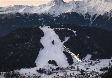
WM-Arena Seefeld

End Point

WM-Arena Seefeld

Difficulty

Medium

Total Distance

7,80 km

Descent Meters

183 m

Ascent Meters

179 m

Highest Point

1374 m

Total Time

02:30 h

Status

Open

Map & Elevation Profile

Start Point

WM-Arena Seefeld

End Point

WM-Arena Seefeld

Difficulty

Medium

Total Distance

7,80 km

Descent Meters

183 m

Ascent Meters

179 m

Highest Point

1374 m

Total Time

02:30 h

Status

Open

Hiking

Best Time

Open

Jan

Feb

Mar

Apr

May

Jun

Jul

Aug

Sep

Oct

Nov

Dec

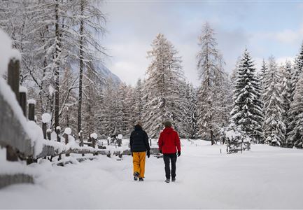
Winter walking

Loop tour

Route: Tennis Centre (WM-Halle) Seefeld - Hörmannweg - Möserer See - Möser Mähder - Kirchwald - Seefeld

Parking and public transport:

P13 and numerous other parking options.

The fastest public connection to the starting point can be found directly in our route planner.

By train to Seefeld train station (10 minutes walk to the starting point).

You can find all connections in real time with the Mobility-App "wegfinder".

Directions:

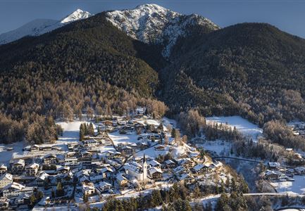
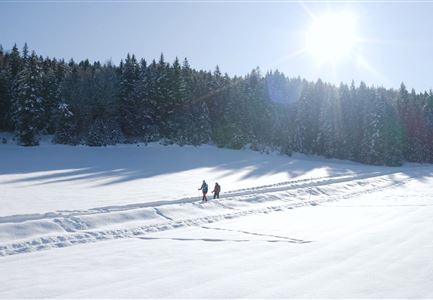
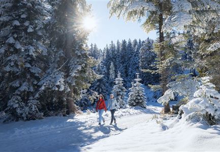
This hiking tour takes a little frequented forest route from Seefeld to the Möserer See and finally leads through the Möserer valley back to Seefeld.


From the starting point at the World Championships Tennis Centre (WM-Halle) in Seefeld, the hike first leads up to the right and a short stretch through the settlement at Kirchwald. Follow the road around the first curve and at the next crossing turn left twice and then right towards the forest. Here follow the signposted Hörmannweg (path no. 2) for a short stretch through the Schöllingwald, but at the next signposted turn left towards Mösern.

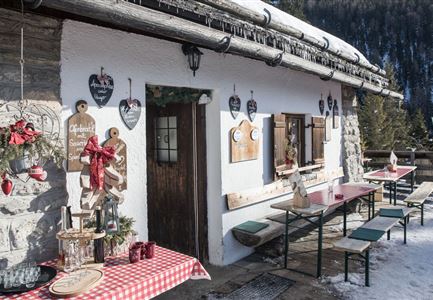
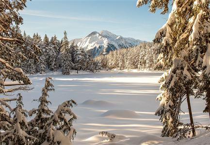
Follow the hiking trail above the Möserer Valley for the whole length of the way to the Möserer Lake. The Möserer Seestub'n rewards a small

Read More...

Features & Characteristics

Start Point

WM-Arena Seefeld

End Point

WM-Arena Seefeld

Loop tour

Yes

Similar Tour Suggestions

Winterwandern im Wald am Wildmoos Plateau

Hiking

W18: Winter hike Schlagweg - Rauthgatter - Wildmoos

Length

11,60 km

Duration

03:45 h

Uphill

220 hm

Altitude

1345 hm

Difficulty

Easy

Open
Gaistalalm im Winter - Luftaufnahme.jpg

Hiking

W12: Winter hike to the Gaistalalm

Length

8,22 km

Duration

02:45 h

Uphill

150 hm

Altitude

1404 hm

Difficulty

Easy

Open
KlammPlaik_im Winter

Hiking

W10: Winter hike through the Leutasch Valley

Length

13,20 km

Duration

03:45 h

Uphill

13 hm

Altitude

1174 hm

Difficulty

Easy

Open
Winterlandschaft in Leithen bei Reith

Hiking

W33: Winter circular hike Hölltal

Length

5,00 km

Duration

02:15 h

Uphill

193 hm

Altitude

1303 hm

Difficulty

Medium

Open
Sprungschanzen und WM-Turm Seefeld

Hiking

W29: Winter circular hike through the Möserer Valley

Length

3,10 km

Duration

01:00 h

Uphill

11 hm

Altitude

1196 hm

Difficulty

Easy

Open
Wildmoosalm im Winter

Hiking

W1: Winter circular hike Mösern - Wildmoos

Length

13,00 km

Duration

04:00 h

Uphill

247 hm

Altitude

1333 hm

Difficulty

Medium

Open
W34 Kulturwanderweg Reith Unsere Frau Winter - Leithen

Hiking

W34: Winter circular hike "culture path" Reith

Length

4,50 km

Duration

01:30 h

Uphill

112 hm

Altitude

1126 hm

Difficulty

Easy

Open
Winterwanderweg - Neuleutasch

Hiking

W16: Winter hike from Leutasch to Seefeld

Length

6,60 km

Duration

02:15 h

Uphill

164 hm

Altitude

1225 hm

Difficulty

Easy

Open