We use cookies for your personalized browsing experience, to personalize content and ads, to provide social media features, and to analyze traffic to our website. We also share information about your use of our website with our social media, advertising and analytics partners. Our partners may combine this information with other data that you have provided to them or that they have collected as part of your use of the Services. (incl. US providers)

Start Point

Reith

End Point

Scharnitz

Difficulty

Hard

Total Distance

70,00 km

Descent Meters

4470 m

Ascent Meters

4600 m

Highest Point

2699 m

Total Time

27:30 h

Map & Elevation Profile

Start Point

Reith

End Point

Scharnitz

Difficulty

Hard

Total Distance

70,00 km

Descent Meters

4470 m

Ascent Meters

4600 m

Highest Point

2699 m

Total Time

27:30 h

Hiking

Best Time

Jan

Feb

Mar

Apr

May

Jun

Jul

Aug

Sep

Oct

Nov

Dec

Long distance trails

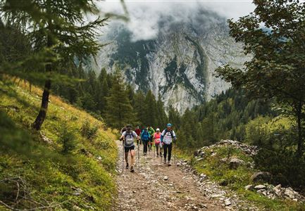
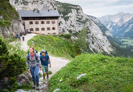
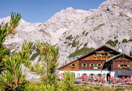
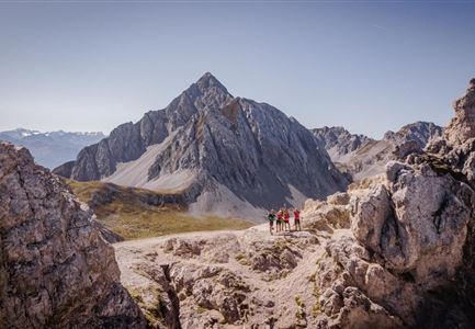
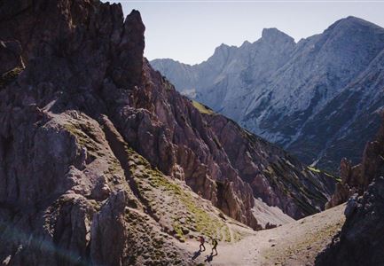
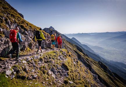
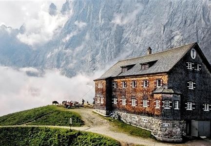
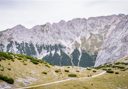
Six days on foot in the largest nature park of Austria is much more than just to bring the 70 kilometers and 9,070 hm (4,470 hm in the ascent) in the Austrian Alps behind. The Karwendel Höhenweg simply means discovering the Karwendel from the valleys to the summit regions in a very demanding multi-day tour, spending the night in five excellent huts and getting to know the alpine mountain nature in Tyrol with every attentive step.

The Karwendel Höhenweg leads you through the southern part of the Karwendel mountains in Tyrol. Unique is the multiple change of view between the solitude of the Karwendel wilderness and the hustle and bustle of the Inn Valley. You will spend the night in hand-picked Alpine Club refuges, which have something special to offer you and are quite inviting for a longer break. The Karwendel High Altitude Trail is not for alpine beginners or children, but is aimed at experienced mountaineers who, apart from sure-footedness and a head for heights, the sometimes long and difficult stages, also feel conditioned. The best time to walk the Karwendel Höhenweg is from July to September. Especially the late summer with its stable weather periods and excellent

Read More...

Features & Characteristics

Start Point

Reith

End Point

Scharnitz

Similar Tour Suggestions

Lafatscher Niederleger - Karwendel Hoehenweg Etappe 6

Hiking

Karwendel Hight Trail (Trail 6): Hallerangerhaus - Scharnitz

Length

19,30 km

Duration

05:30 h

Uphill

30 hm

Downhill

835 hm

Altitude

1768 hm

Difficulty

Medium

Steig von Bettelwurfhütte zu Lafatscherhocheger - Karwendel Hoehenweg Etappe 5

Hiking

Karwendel High Trail (Trail 5): Bettelwurfhütte - Hallerangerhaus

Length

9,00 km

Duration

06:00 h

Uphill

800 hm

Downhill

1100 hm

Altitude

2183 hm

Difficulty

Hard

Solsteinhaus - Karwendel Hoehenweg Etappe 2 & 3

Hiking

Karwendel High Trail (Trail 3): Solsteinhaus - Pfeishütte

Length

16,50 km

Duration

09:00 h

Uphill

1150 hm

Downhill

1400 hm

Altitude

2314 hm

Difficulty

Hard

Bike Tour durchs Karwendeltal aufs Karwendelhaus - Scharnitz

Hiking

Karwendel March 35 km

Length

35,00 km

Duration

12:30 h

Uphill

1664 hm

Downhill

1358 hm

Altitude

1843 hm

Difficulty

Hard

Aufstieg Stempeljoch - Karwendel Hoehenweg Etappe 4

Hiking

Karwendel High Trail (Trail 4): Pfeishütte - Bettelwurfhütte

Length

8,90 km

Duration

04:30 h

Uphill

590 hm

Downhill

390 hm

Altitude

2215 hm

Difficulty

Hard

Falkenhütte neu

Hiking

Karwendelmarsch 52 km

Length

52,00 km

Duration

19:00 h

Uphill

2281 hm

Downhill

2217 hm

Altitude

1903 hm

Difficulty

Hard

Noerdlinger Huette - Karwendel Hoehenweg Etappe 1 & 2

Hiking

Karwendel High Trail (Trail 2): Nördlinger Hütte - Solsteinhaus

Length

6,70 km

Duration

04:00 h

Uphill

370 hm

Downhill

795 hm

Altitude

2239 hm

Difficulty

Hard

Schartlehnerhaus zur Noerdlinger Huette - Karwendel Hoehenweg Etappe 1

Hiking

Karwendel High Trial (Trail 1): Reith bei Seefeld - Nördlinger Hütte

Length

6,50 km

Duration

04:30 h

Uphill

1130 hm

Downhill

10 hm

Altitude

2239 hm

Difficulty

Medium