Address & Contact

Parkplatz Öfen (P1)

Town:

Gaistal, 6105 Leutasch

Phone:

Email:

Web:

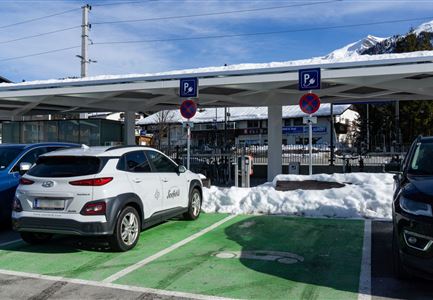
Parking lot & parking garage

The obligation to pay applies daily from 00:00 to 24:00.

RATES FOR CARS   
1 Day: € 5,-
2 Days: € 10,-
3 Days: € 15,-

RATES FOR BUSES
No bus parking available

- Contactless payment possible
- Payment possible with the EasyPark app
- Cash payment only with coins (€ 2,-, € 1,- and € 0.50), machine does not give change 

A few meters before the Öfen parking lot, there is a change machine at the booth!

Connected Tours

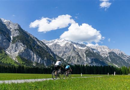
Gravelbike Asphaltstraße mit Bergpanorama - Leutasch

Cycling

Biketour Wettersteinrunde

Length

77,80 km

Duration

06:30 h

Uphill

1754 hm

Altitude

1599 hm

Difficulty

Hard

Partially open
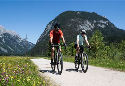
Gravelbiker auf dem Radweg durch das Leutaschtal im Sommer

Cycling

Biketour Nr. 537 durch das Leutaschtal

Length

32,46 km

Duration

01:10 h

Uphill

200 hm

Downhill

205 hm

Altitude

1236 hm

Difficulty

Easy

Partially open
Wanderguppe auf dem Gipfel der Gehrenspitze oberhalb von Leutasch

Hiking

Bike & Hike Gehrenspitze, 2.367 m

Length

21,00 km

Duration

07:00 h

Uphill

1150 hm

Altitude

2367 hm

Difficulty

Hard

Wettersteinhuette (l) und Wangalm (r) im Wettersteingebirge (2).jpg

Cycling

Biketour Nr. 540 Wettersteinhütte-Wangalm

Length

14,00 km

Duration

01:30 h

Uphill

618 hm

Altitude

1761 hm

Difficulty

Hard

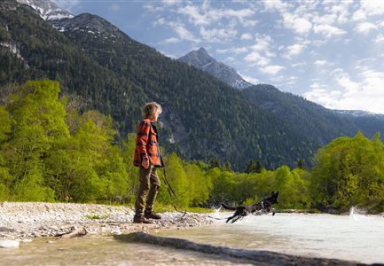
Spaziergang mit Hund in Unterleutasch - Hund spricht ins Wasser an der Leutascher Ache.jpg

Hiking

Hundefreilaufzone entlang der Leutascher Ache

Length

1,50 km

Duration

00:30 h

Uphill

28 hm

Difficulty

Easy

Wanderer auf dem Predigtstuhl.jpg

Hiking

Bike & Hike Predigtstuhl, 2.234 m

Length

19,00 km

Duration

04:30 h

Uphill

1015 hm

Altitude

2234 hm

Difficulty

Hard

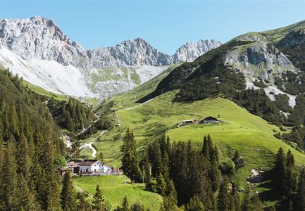
Tillfussalm im Gaistal - Hütte und Terrasse am Morgen.jpg

Cycling

Biketour Tillfussalm

Length

9,60 km

Duration

00:54 h

Uphill

174 hm

Altitude

1358 hm

Difficulty

Easy

Radtour ins Gaistal - Bruecke am Eingang vom Gaistal

Hiking

Bike & Hike Seebensee & Drachensee

Length

31,00 km

Duration

04:45 h

Uphill

820 hm

Altitude

1897 hm

Difficulty

Medium

Similar Infrastructures