Start Point

Leutasch parking Salzbach (P3-5)

End Point

Leutasch parking Salzbach (P3-5)

Difficulty

Medium

Total Distance

31,00 km

Descent Meters

820 m

Ascent Meters

820 m

Highest Point

1897 m

Total Time

04:45 h

Map & Elevation Profile

Start Point

Leutasch parking Salzbach (P3-5)

End Point

Leutasch parking Salzbach (P3-5)

Difficulty

Medium

Total Distance

31,00 km

Descent Meters

820 m

Ascent Meters

820 m

Highest Point

1897 m

Total Time

04:45 h

Hiking

Best Time

Jan

Feb

Mar

Apr

May

Jun

Jul

Aug

Sep

Oct

Nov

Dec

Bike & Hike

Hiking tour

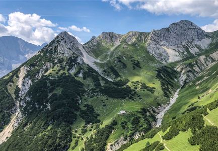
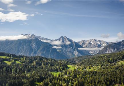
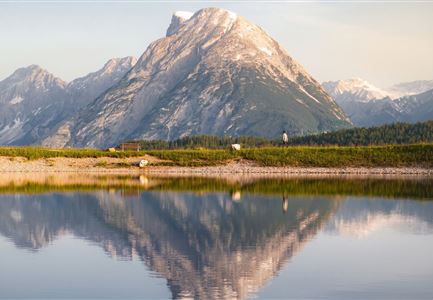
Nature jewel: The Gaistal and the lake Seebensee
In 2017 this little paradise was voted the most beautiful place in Tyrol in the tv-show 9 places, 9 treasures. The Gaistal has a length of approx. 16 km and is starting point for many beautiful tours, which all branch off from this valley.

Directions:
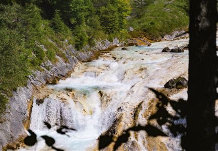
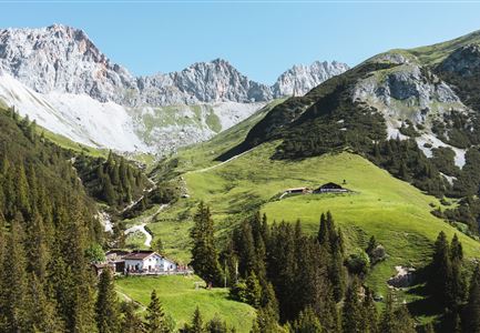
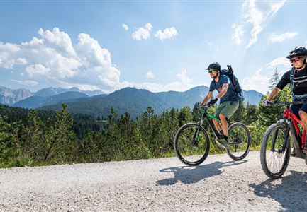
The panoramic and only slightly ascending forest path starts at the Salzbach car park and runs along the river Leutascher Ache, passing the huts Gaistal- & Tillfussalm to the lake Seebensee. The last kilometer is steep and partly on coarse gravel. Therefore we recommoned to park the bike at the Seebenalm.
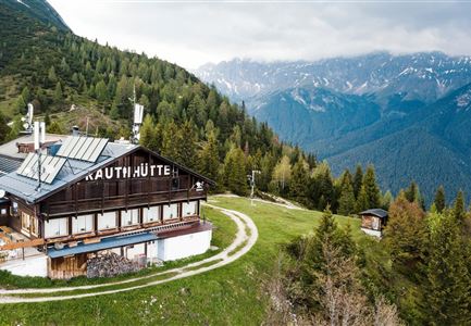
Then it goes steeper uphill to the Seebensee. This crystal clear lake with its Caribbean colours invites you to cool off. After the refreshment it leads further 40 walking minutes very steeply up to the Coburgerhütte. From there you have a breathtaking view of the Seebensee and the Zugspitze. Next to the Coburgerhütte, another natural jewel awaits you, the lake Drachensee.

Details for one direction:

  • Bike route nr. 551: approx. 13 km, 420 hm uphill, 01:45 h, difficulty: medium
  • Hike route: approx. 2 km, 300 hm uphill,

Features & Characteristics

Start Point

Leutasch parking Salzbach (P3-5)

End Point

Leutasch parking Salzbach (P3-5)
Similar Tour Suggestions

Wanderung Oberbrunnalm im Karwendel - Scharnitz (1).jpg

Hiking

Circular hike over Zäunlkopf & Oberbrunnalm alpine hut

Length

15,20 km

Duration

06:00 h

Uphill

794 hm

Downhill

789 hm

Altitude

1743 hm

Difficulty

Medium

Sonnenaufgang Aussichtsplattform Bruschkopf - Paar steht am Geländer der Plattform - Aufnahme von hinten - Paar schaut sich an.jpg

Hiking

Viewpoint Brunschkopf via Möserer Höhe

Length

8,70 km

Duration

03:00 h

Uphill

311 hm

Downhill

314 hm

Altitude

1499 hm

Difficulty

Medium

Durch die Gleirschklamm - Scharnitz (1).jpg

Hiking

Circular hike through the Gleirsch Gorge and over the Zäunlkopf

Length

17,90 km

Duration

06:45 h

Uphill

907 hm

Altitude

1744 hm

Difficulty

Medium

Wildmoosalm im Sommer - Alm aus der Distanz mit Gewässer im Vordergrund.jpg

Hiking

Circular hiking trail Wildmoos-Hochmoos

Length

10,00 km

Duration

04:00 h

Uphill

437 hm

Altitude

1544 hm

Difficulty

Medium

Ederkanzel contwise.jpg

Hiking

Circular Hike via the Franzosensteig to Grünkopf and Ederkanzel

Length

7,40 km

Duration

04:00 h

Uphill

590 hm

Altitude

1569 hm

Difficulty

Medium

Isarursprung im Karwendel - Scharnitz (3).jpg

Hiking

Hike to the source of the river Isar & Kasten alpine hut

Length

28,20 km

Duration

06:00 h

Uphill

323 hm

Altitude

1227 hm

Difficulty

Medium

Abendstimmung am Seekirchl in Seefeld im Sommer.jpg

Hiking

Wheelchair Circular Hike in the Möserer Valley

Length

4,60 km

Duration

01:10 h

Uphill

10 hm

Altitude

1200 hm

Difficulty

Medium

Blick vom Predigtstuhl auf das Steinerne Huettl im Gaistal

Hiking

Bike & Hike to the Steinernes Hüttl alpine hut

Length

19,80 km

Duration

06:00 h

Uphill

980 hm

Altitude

2131 hm

Difficulty

Medium